Map of the United States showing the Territorial Expansion of a Century 1804 to 1904 insets: 1) The World. 2) Wake Island. 3) Territory of Alaska. 4) Guam Island. 5) Porto Rico. 6) Philippine Islands. 7) Hawaiian Islands. 8) Tutuila, Manua and Smaller Islands of the Samoan Group. 9) Plan of Panama Canal Zone. 10) Plan showing the Thirteen Original States.

33,100.00

In Stock

In Stock

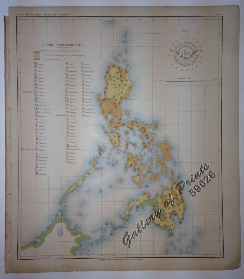
Author: Ohman, August R. [engr.]

Publisher: August R. Ohman, 1904, Map Publisher and Engraver, New York.

Year: 1904

Size: 71.8 x 75 cm

Reference:
SKU: 61095 Category: Tags: ,

Description

original-coloured lithograph, EXTREMELY RARE.

Wall Map with many inserts of the new American Colonies including the Philippines. Designed and drawn for Judge W. T. Hall, Richmond, Maine.

Condition

folded as issued, with small tear in upper left margin, in original full cloth blue boards.

Shopping Cart
There are no products in the cart!
Continue Shopping
0