- Sorry, this product cannot be purchased.
- View cart You cannot add another "Handbook of the Philippine Islands" to your cart.
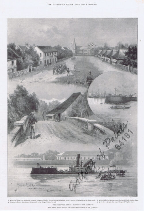
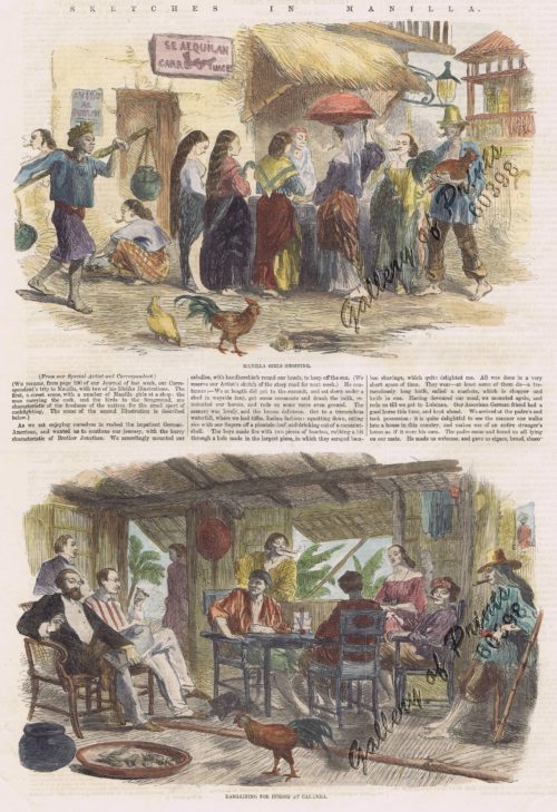
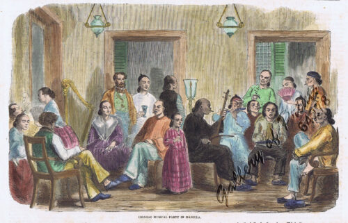
- View cart You cannot add another "The Illustrated London News Vol. 36 - No. 1015" to your cart.
View cart “[Luzon & Visayas]]” has been added to your cart.
View cart “Map of the United States showing the Territorial Expansion of a Century 1804 to 1904 insets: 1) The World. 2) Wake Island. 3) Territory of Alaska. 4) Guam Island. 5) Porto Rico. 6) Philippine Islands. 7) Hawaiian Islands. 8) Tutuila, Manua and Smaller Islands of the Samoan Group. 9) Plan of Panama Canal Zone. 10) Plan showing the Thirteen Original States.” has been added to your cart.
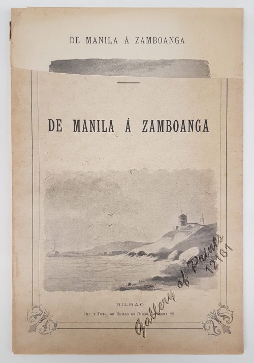
View cart “De Manila á Zamboanga” has been added to your cart.
View cart “A view of Cape Espiritu Santo, on Samal, one of the Phillippine Islands… Centurion engag’d and took the Spanish Galeon call’d Nostra Seigniora de Cabadonga, from Acapulco bound to Manila.” has been added to your cart.
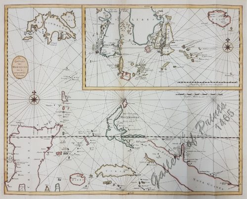
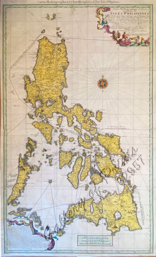
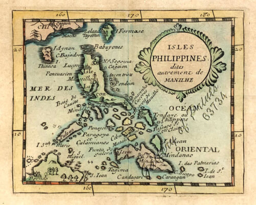
View cart “Insulae Philippinae… [inset: Manila]” has been added to your cart.
View cart “Zeocephus Cinnamomeus (Fig. 1) [Rufous Paradise Flycatcher] Z. Cyanescens (Fig. 2), pl.48 [Blue Paradise Flycatcher]” has been added to your cart.
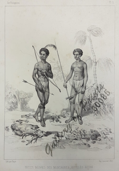
View cart “Petits Nègres des Montagnes, Appelés Actas [sic] [Mountain Aborigins called Aetas]” has been added to your cart.