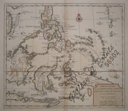
Insulae Philippinae
SOLD
Description
hand-coloured copper engraving. EXTREMELY RARE map from the 1st edition of Cornelius Wytfliet’s “Histoire Universelle des es Indes Occidentales”. The first separate Philippine map was drawn by Petrus Kaerius in 1598. That plate was re-drawn with slight changes, and was published by Francois Fabri in Douay in 1605. A second edition appeared in 1607 and a third in 1611. The Wytfliet copy differs from the original of Kaerius in that the title “Insulae Philippinae” has been placed across the entire top of the map instead of enclosed in the cartouche at the left corner; naturally, the name “Petrus Kaerius” and “Caelavit” were deleted; the word-names have been written by a different hand.
Condition
2 vertical creases, backed with Japanese paper due to paper fragility.


