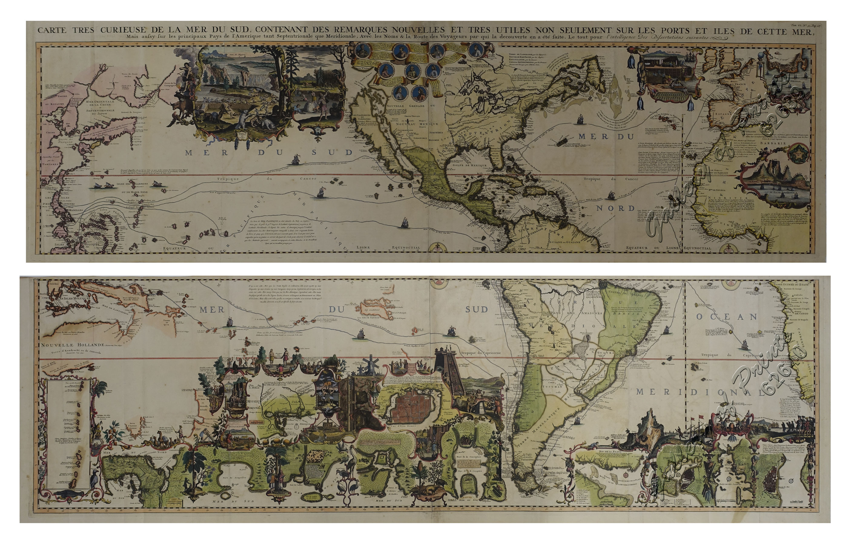
Carte tres curieuse de la mer du sud, contenant des remarques Nouvelles et tres utiles non Seulement sur les ports et iles de cette mer. [1st and 2nd Sheet] [A Very Special Map of the Southern Sea, Containing New and Very Useful Descriptions not Only of its Ports and Islands.]
₱790,000.00
In Stock
In Stock
Description
original outline-colour copper engravings, enhanced hand-colour. EXTREMELY RARE.
Stunning World map in 2 sheets, from the extensive multi-volume ‘Atlas Historique’, vol. 6, no. 30, p. 117; published by Chatelain, Amsterdam.
One of the most informative, decorative and impressive maps centered on the Pacific available. Printed on four large sheets, the overall map is of wall-chart proportions and a veritable pictorial encyclopaedia of the World, including the Philippines; many famous voyagers’ tracks/routes are indicated. A great example of early 18th Century craftsmanship!
Condition
1st sheet – folds as issued, small tear on lower centrefold; 2nd sheet – folds as issued; due to imperfect printing, the neatlines are not perfectly parallel, neither horizontally nor vertically. Otherwise Excellent condition.

