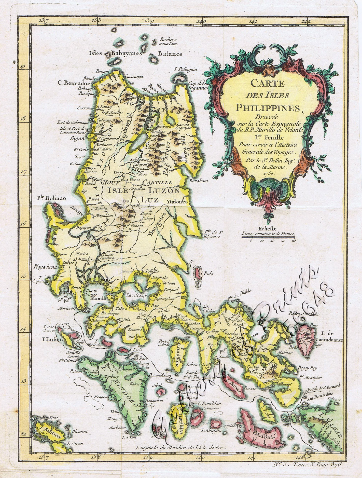
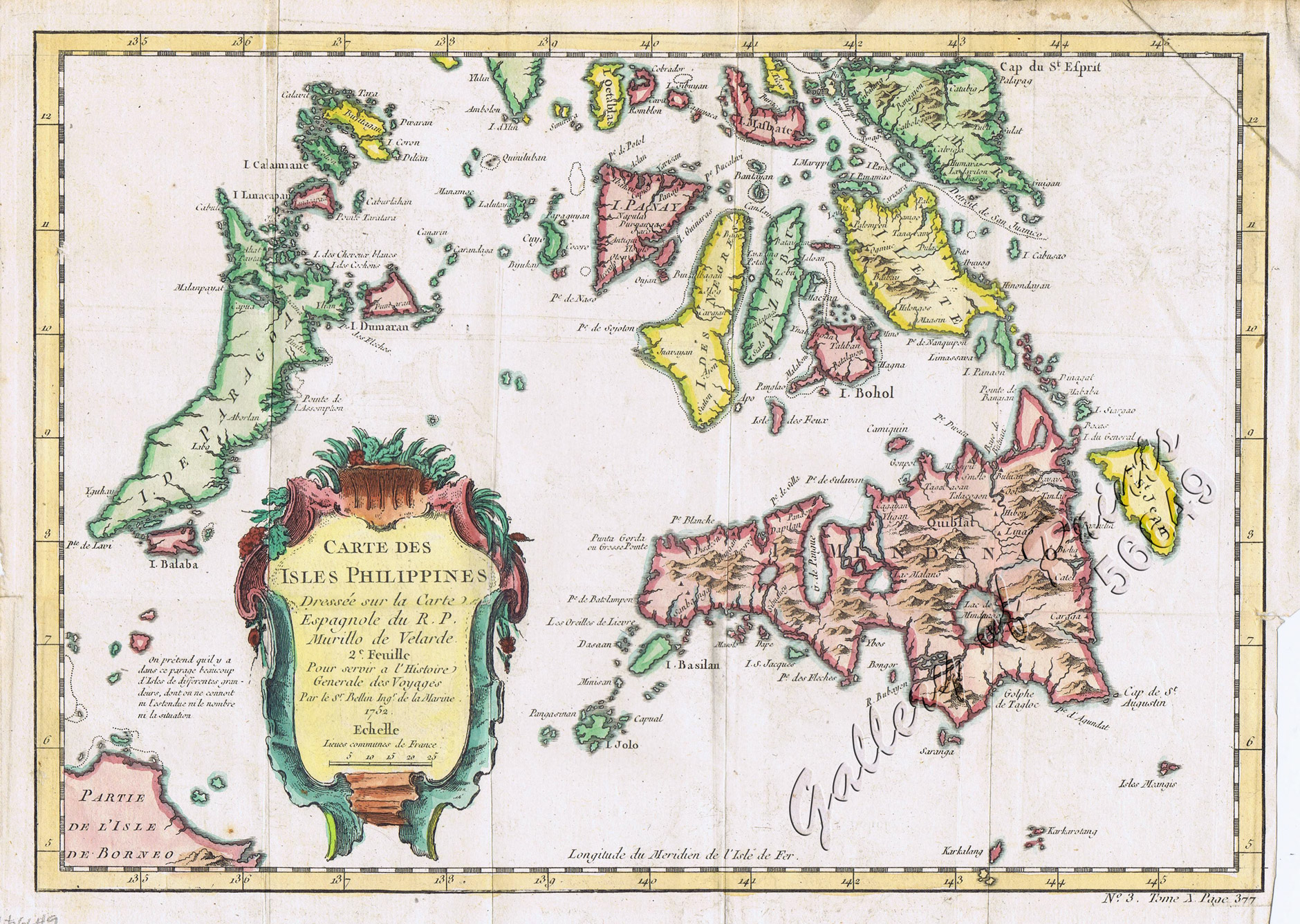
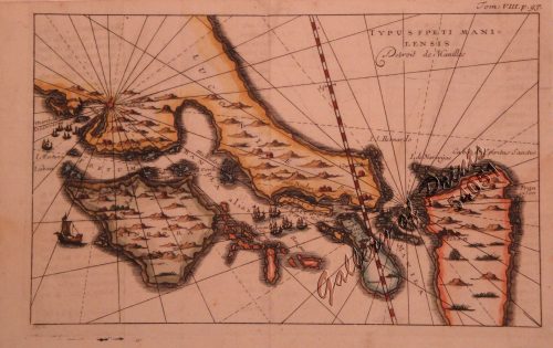
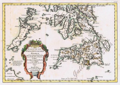
1) Carte des Isles Philippines (1e feuille); 2) Carte des Isles Philippines (2e feuille)
₱32,800.00
In Stock
In Stock
Description
Stunningly hand-coloured copper engraving pair of RARE Bellin’s French maps of Northern and Southern Philippines.
Map from ‘Histoire Generale des Voyages’, octavo edition, no. 3, vol. 10 in 4, p. 376 and p. 377; vol.4 in 8, p. 285; based on Father Murillo de Velarde’s map, the ‘Queen of all Philippine Maps’. Nicolas Bellin (1703-1772) was one of the most important and proficient French cartographers of the mid-eighteenth century. He was appointed the first Ingenieur Hydrographe de la Marine, and also Official Hydrographer to the French king. Bellin produced a substantial number of important separately issued maps, particularly reflecting continuing discoveries and political events in the Americas.
Condition
with folds as issued, very good to excellent condition.

