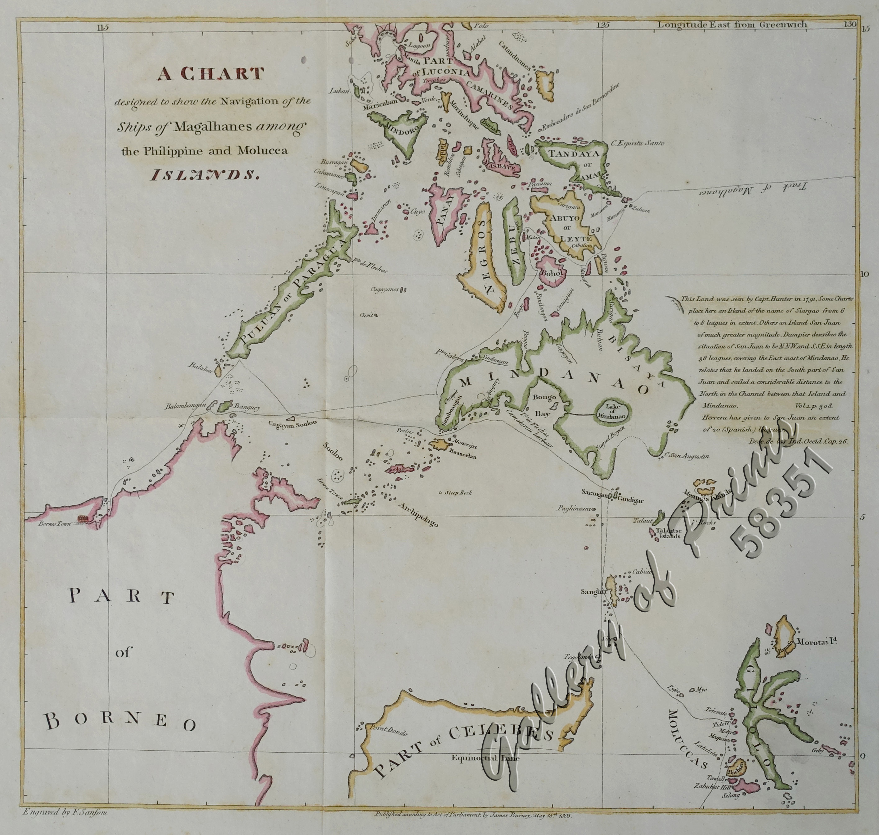
A Chart designed to show the Navigation of the Ships of Magalhanes among the Philippine and Molucca Islands.
SOLD
Description
copper engraving.
EXTREMELY RARE map from “A Chronological History of the Voyages and Discoveries in the South Sea or Pacific Ocean”, vol. 1, p.15. With engraved note regarding the fictitious island of St. John. This most extensive History comprises 5 volumes published 1803-1806-1813-1816-1817. After sailing with Captain Cook on his last two voyages (and witnessing Cook’s death on Hawaii), the naval career of James Burney (1750-1821) was cut short by illness. He published this extensive compilation of voyages to the Pacific between 1803 and 1817. In 1821, aged 71, Burney was promoted to rear-admiral on the retired list after a personal intervention by Admiral of the Fleet, the Duke of Clarence (later William IV). Sansom is well-known as an engraver of caricatures but does not appear in either ‘Tooley’s Dictionary of Mapmakers’ or ‘British Map Engravers’. [ALTEA]. International Boundaries as of September 1, 1939 the day Germany invaded Poland.
Condition
with folds as issued, light paper toning.

