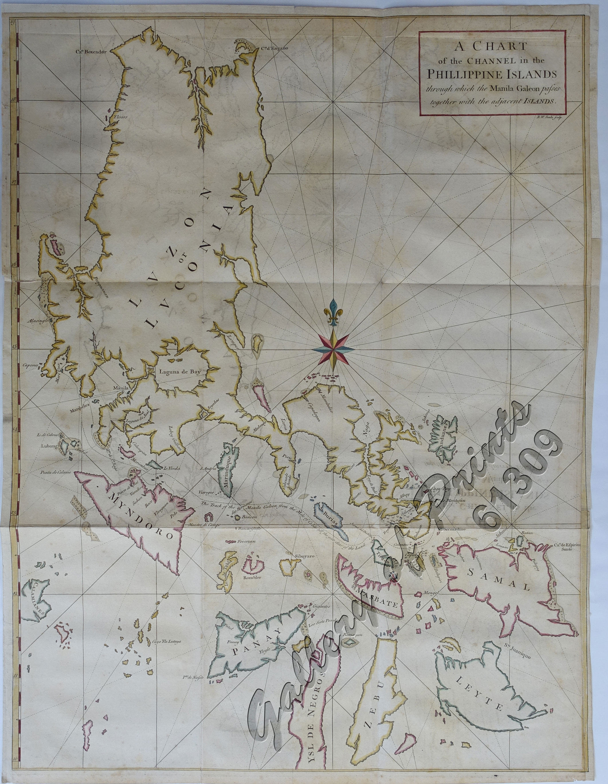
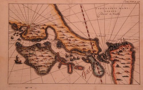
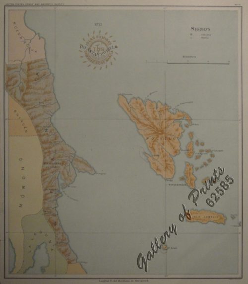
A Chart of the Channel in the Phillippine [sic] Islands through which the Manila Galleon Passes Together with the Adjacent Islands

39,600.00

In Stock

In Stock

Author: Lord George Anson / Sir Richard Walter

Publisher: published by Richard Walter with 42 maps and engravings.

Year: 1756 [1748]

Size: 70.7 x 53.6 cm

Reference: Quirino, pp. 64,65,92; Sabin 1637, Gries/Luber I, 36; Cox I, pp. 49/50, Hill p. 317, Borbada; Moraes, I:38
SKU: 61309 Category: Tags: ,

Description

hand-coloured copper engraving.

Map from ‘A Voyage Round the World in the Years MDCCXL, I, II, III and IV’ pl. 26; 9th edition; printed for D. Browe, J. Osborne and J. Shipton, J. Hodges, W. Bowyer, W. Strahan H.S. Cox, J. Ward, R. Baldwin, S. Crowder and H. Woodgate, 1756.

The “classic” Anson Map of the Northern Philippines – a must for any collection on this archipelago.

Condition

thick paper, with folds as issued, tightly cropped left, right and upper margins, mirror imaging.

Shopping Cart
There are no products in the cart!
Continue Shopping
0