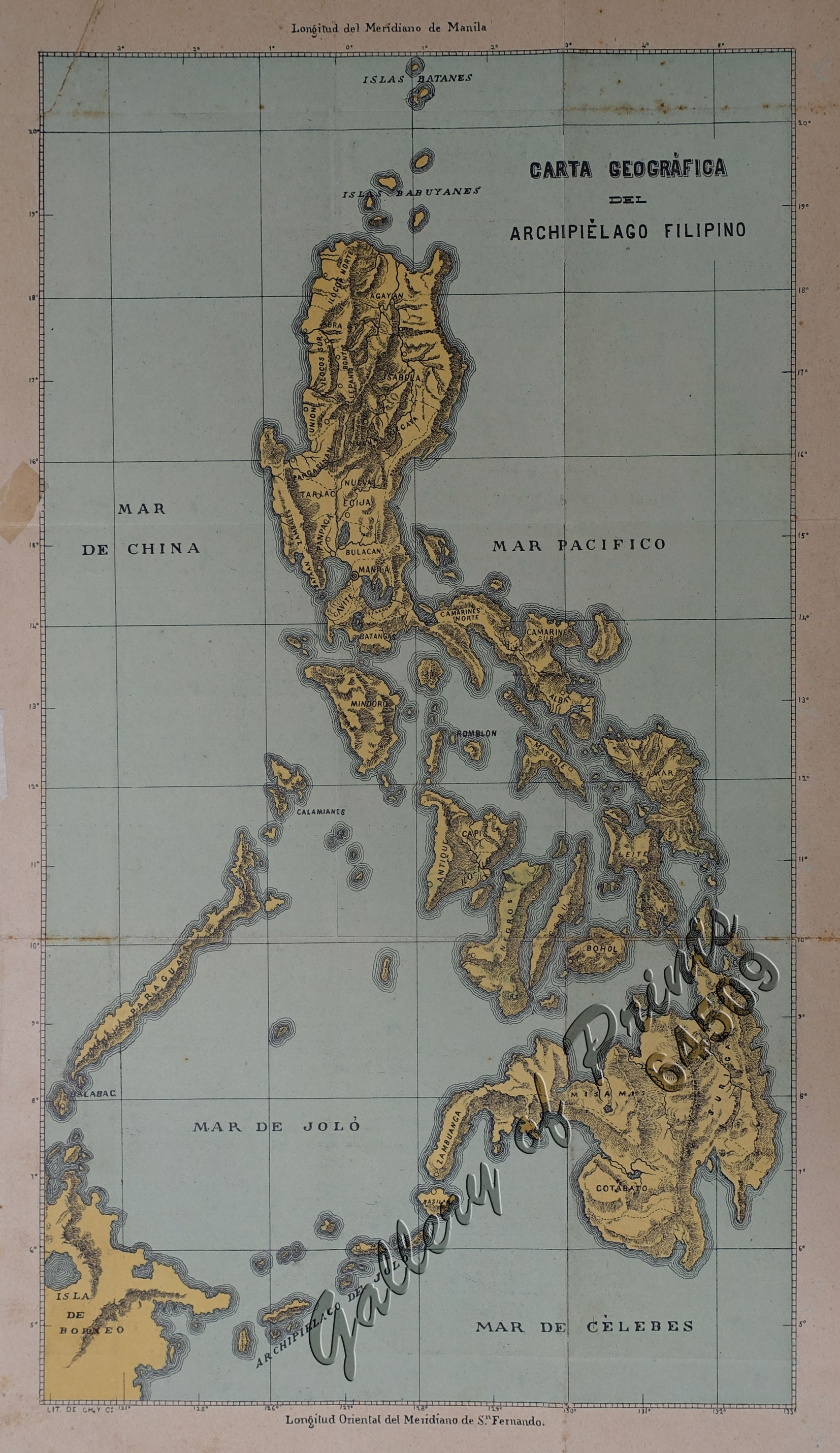
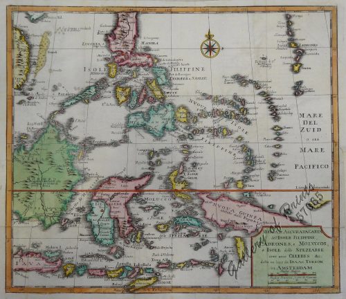
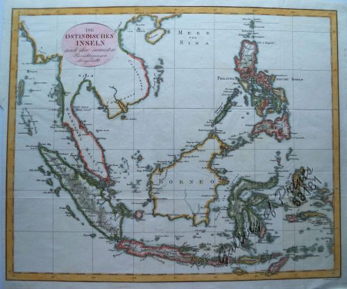
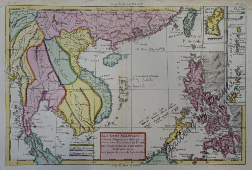
Carta Geográfica del Archipiélago Filipino
₱54,900.00
In Stock
In Stock
Description
original-colour lithograph. EXTREMELY RARE. Highly informative map from the “Guia Oficial de las Islas Filipinas para 1896”, and hardly available as an individual map.
Text and Colour of Map different from other annual editions.
Differences between 1894 and 1896 edition are – among others:
1) lower left lithographer is stated in 1896 but in the earlier edition it is NOT stated: LIT. DE CH. Y C.A.
2) in Northeast Luzon “Vizcaya” only the “CAYA” is very visible in 1896 whereas in earlier ed. “ZCAYA” is very visible.
3) Shading of coastlines is done in very visible lines in 1896 whereas in earlier editions the shading is partly blurred.
Condition
with minor foxing and small tears on margins, all not affecting plate; very good condition.

