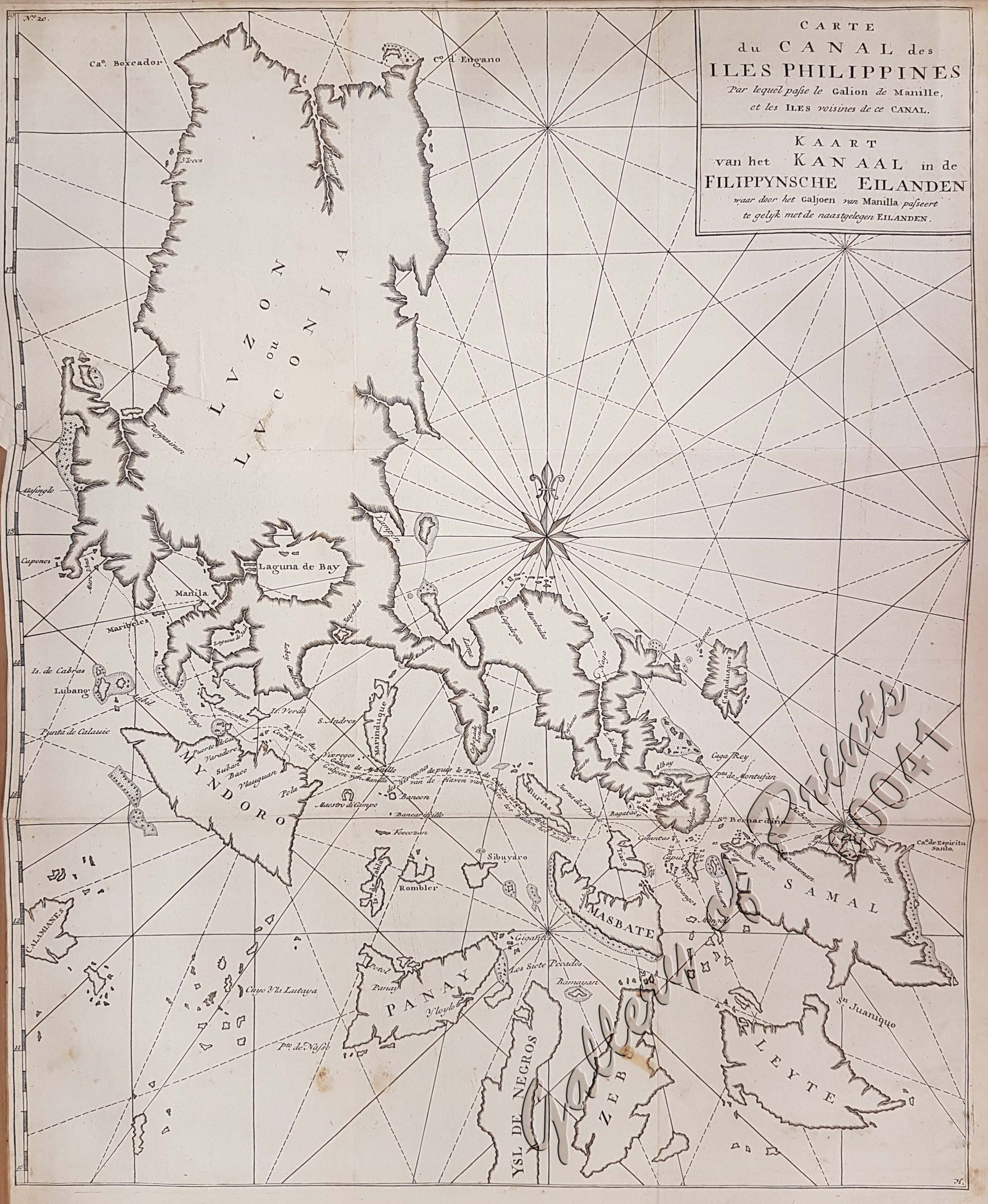
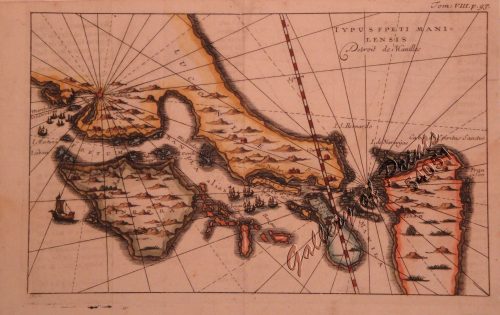
Carte du Canal des Isles Philippines par lequel passe le Galion de Manille et les Iles voisines de ce Canal Kaart van het Kanaal in de Filippynsche Eilanden… [A Chart of the Channel in the Philippine Islands Through which the Manila Galeon passes, and the Islands Visible in that Channel]
₱39,600.00
In Stock
In Stock
Description
copper engraving.
Map from the Dutch edition of the French translation; Important chart of the Northern Philippines with islands, bays, reefs, and the track of Anson’s Route
of the “Centurion”. With a compass rose and rhumb lines, French and Dutch Title.
While Great Britain was at war with Spain in 1740, Anson led a squadron of 8 ships on a mission to disrupt or capture Spain’s Pacific possessions. Returning to Britain in 1744 via China and thus completing a circumnavigation, the voyage was notable for the capture of the Manila galleon “Cavadonga” but also horrific losses mostly due to scurvy with only 188 men of the original 1,854 surviving. Anson was compared with Francis Drake and was promoted to First Lord of the Admiralty in 1751. It was a vastly popular and commercial success as the spoils form the Galleon financed virtually the entire British Navy.
Condition
minor offsetting, with folds as issued, tight left margin, professionally repaired tear on left margin and neatline.

