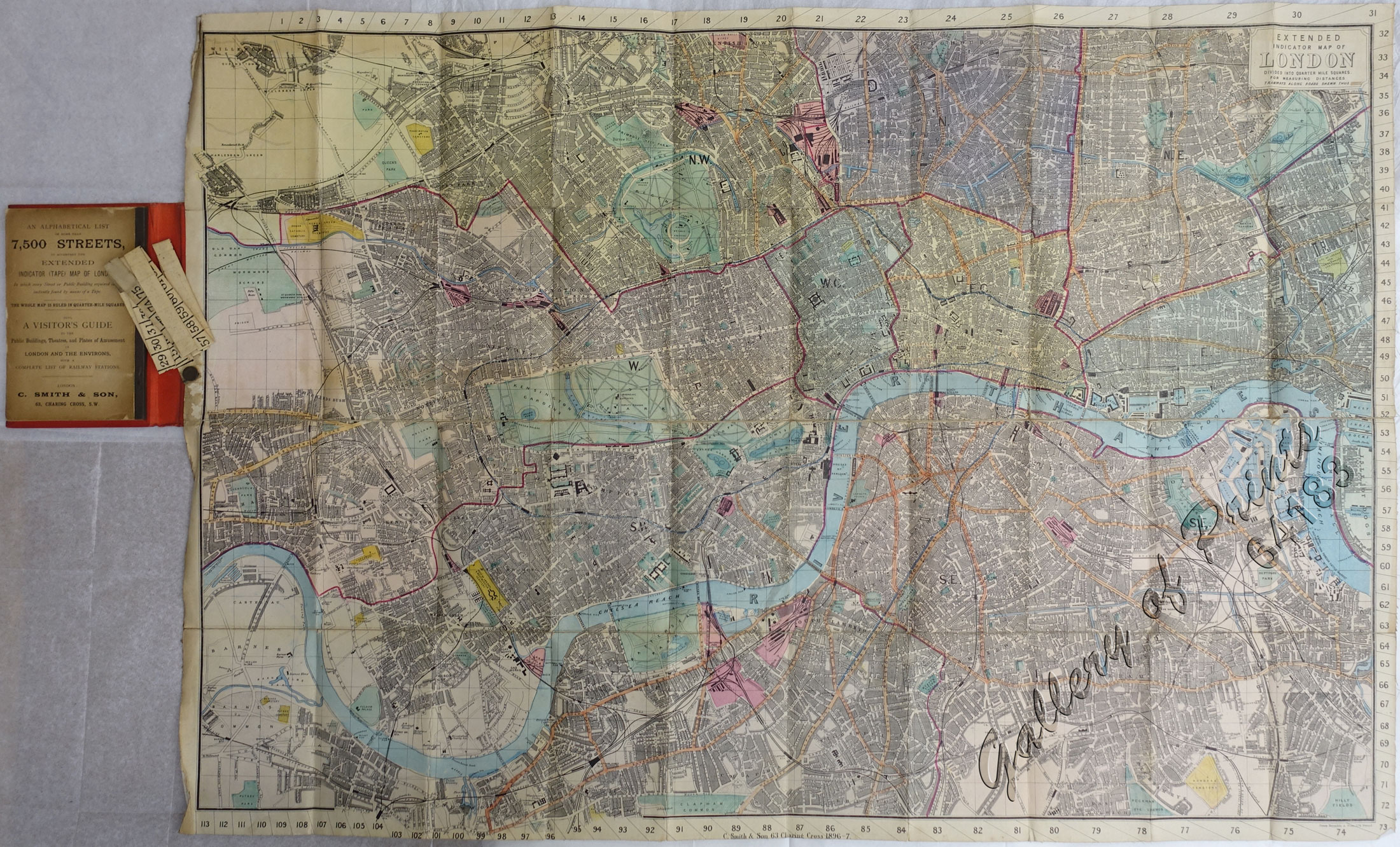
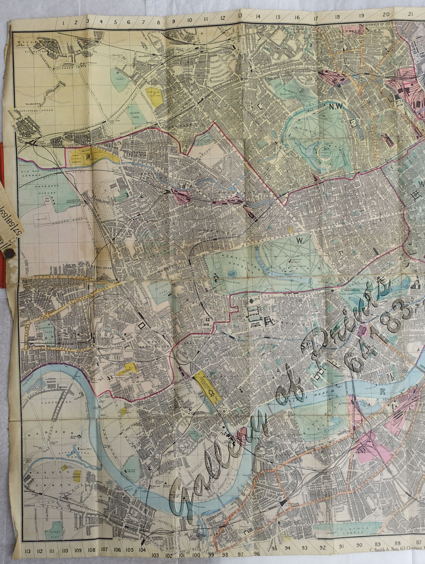
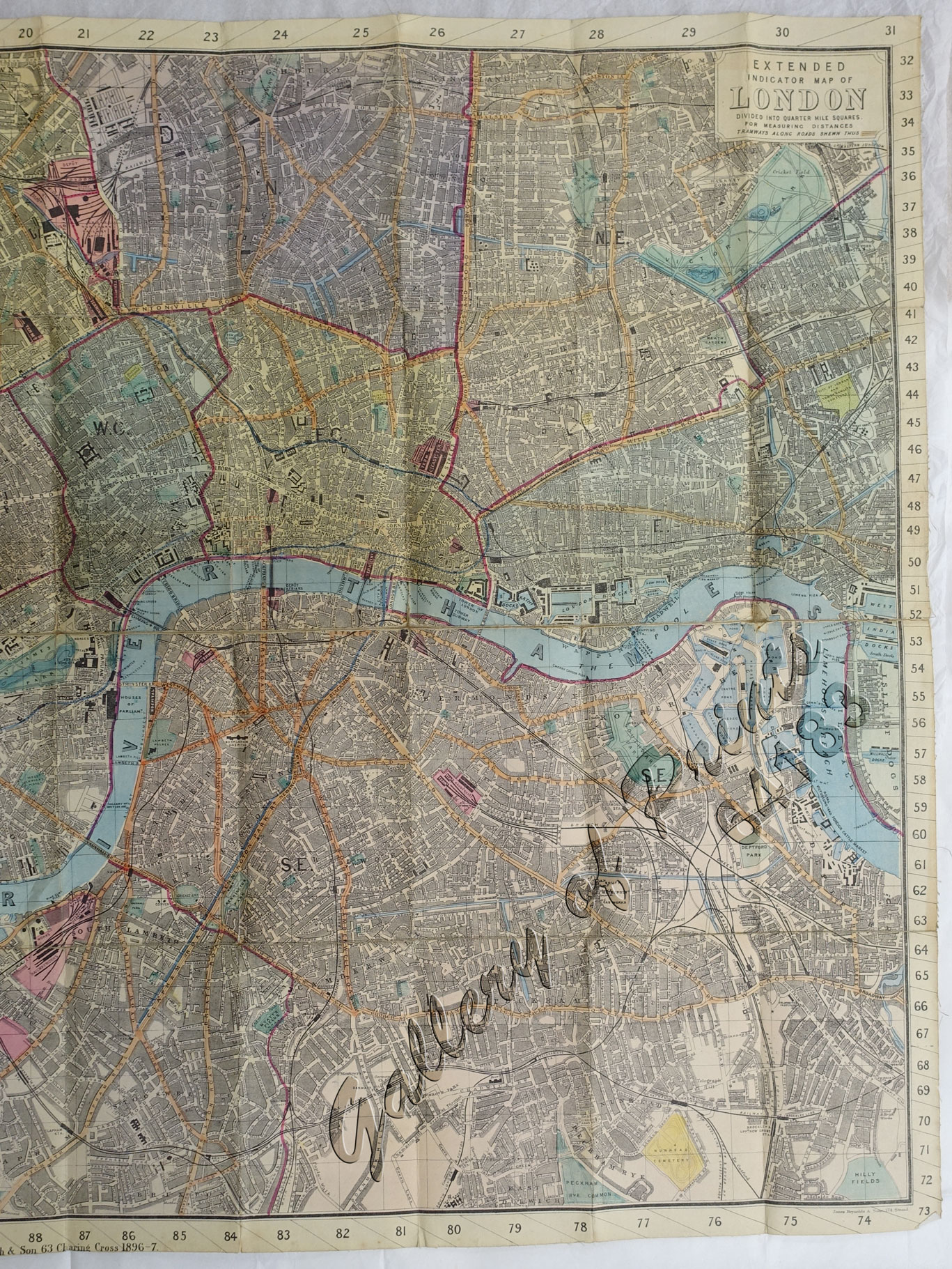
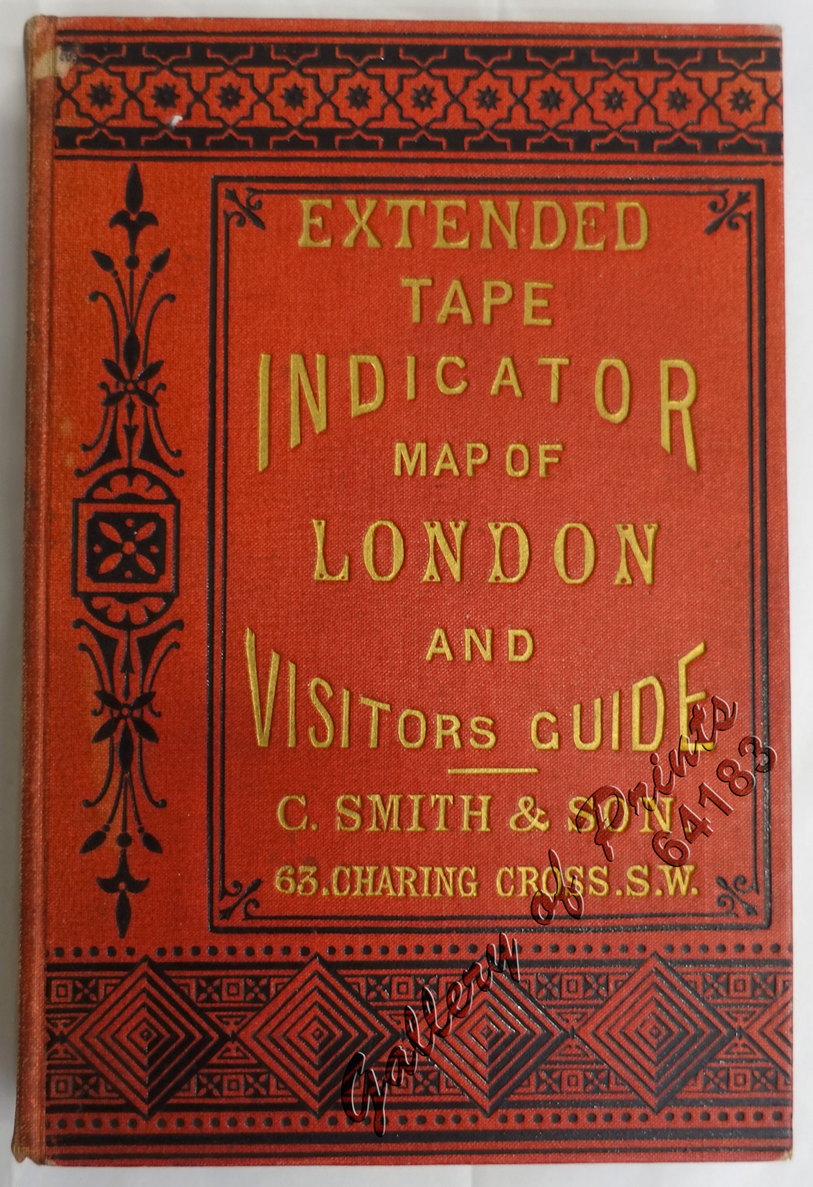
Extended Tape Indicator Map of London.
₱13,200.00
In Stock
In Stock
Description
hardcover, 70pp. alphabetical index, ads, 12mo, red cloth lettered in gilt, decoratively stamped in black, bound with linen backed folding colour map, sectionalised, complete with affixed tape for measuring.
A large and attractive folding pocket map by C. Smith & Son, London.
This map is from the popular “Tape Indicator” series that was published in numerous editions from the 1850s to the early 20th century. This beautiful large format map depicts the streets, waterways, trains and buildings of London in splendid hand-coloured detail.
Charles Smith (1768-1854) was 19th century British publisher of maps, atlases, and charts, most of which focused on England and London. He was appointed map seller to the Prince of Wales in 1809. From 1826 to 1854 the business traded as Charles Smith and Son. After Charles Smith’s death in 1852, it was taken over by his son William Smith, and later his grandson Guildford Smith (1838-1917), who continued to publish maps well into the 20th century. The younger Smith is best known for his introduction of the “Tape Indicator Map”. This map, which came with a tape measure, enabled users to triangulate their location based coordinates given in an attached guide. The firm was taken over by George Philip in 1916.
Condition
very good condition.

