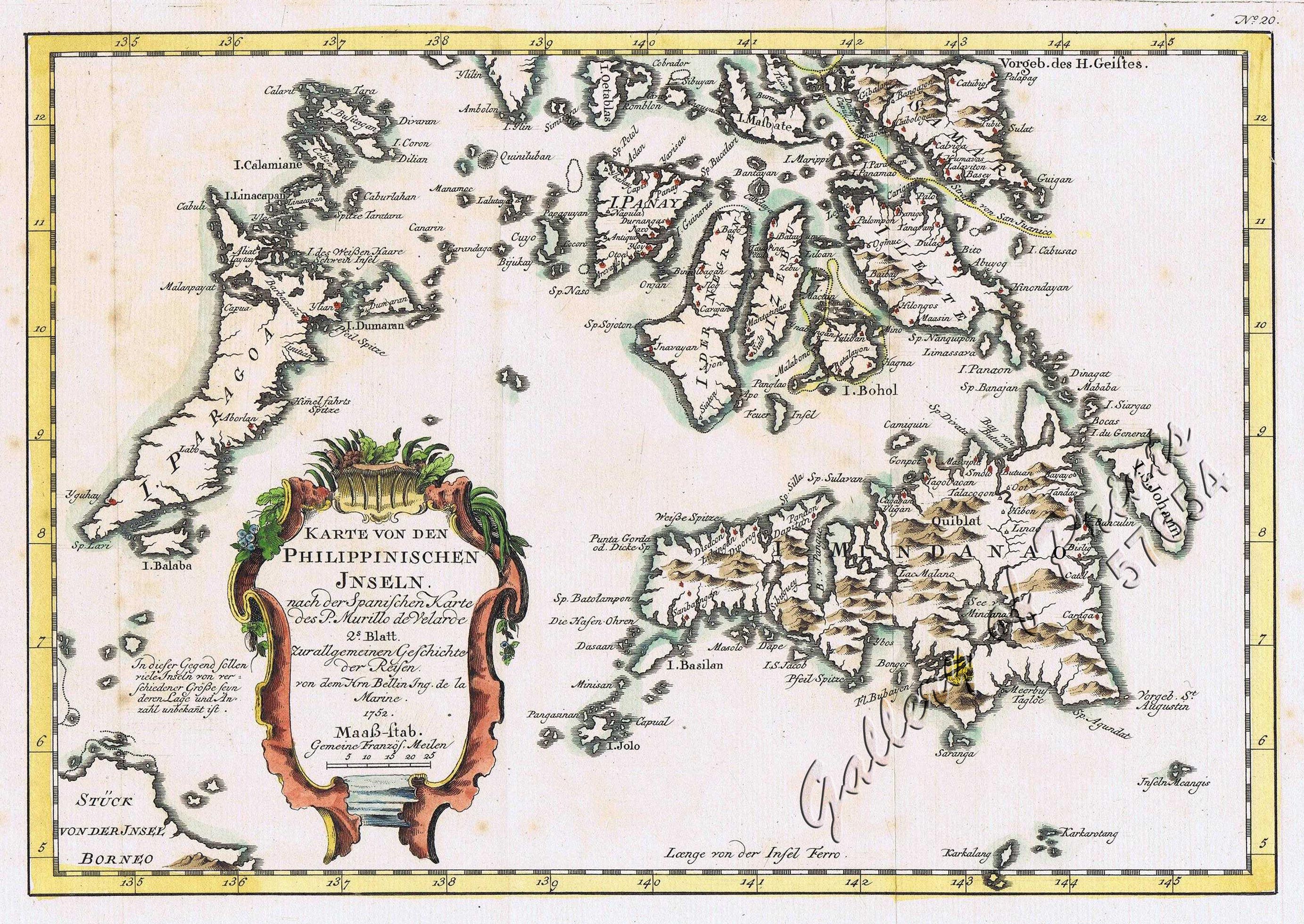
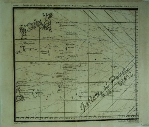
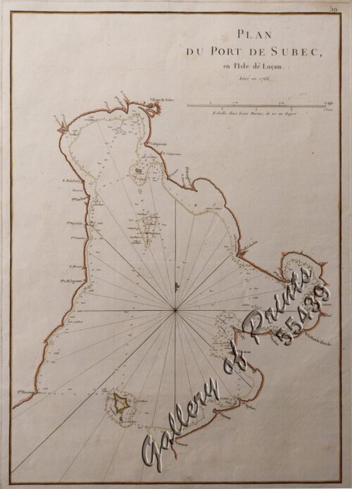
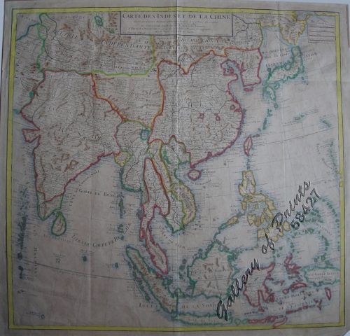
Karte von den Philippinischen Inseln 2. Blatt
₱27,900.00
In Stock
In Stock
Description
hand-coloured copper engraving. RARE German edition. Map from ‘Allg. Historie der Reisen zu Wasser und Land… oder Sammlung aller Reisebeschreibungen… (11. Band); Nr. 20.
Schwabe (1714–1784) translated into German and published Prevost’s 20 volumes of the “Histoire générale des voyages”; its 21 volumes became the most extensive collection of historical voyages in the German language, executed between 1747 to 1774.
This attractive map is based on Father Murillo de Velarde’s map, the ‘Queen of all Philippine Maps’.
Jacques-Nicolas Bellin (1703-1772) was among the most important and prolific mapmakers of the 18th Century. During his term, the Depot became the centre for the publication of sea charts, such as the ‘Neptune François’ and the ‘Atlas Maritime’ and the ‘Hydrographie Francaise’, popular well into the next Century. In 1721, at age 18, he became hydrographer to the French Navy and 20 years later, the First Ingénieur de la Marine of the French Hydrographic Office and Official Hydrographer of the French King.
Condition
with folds as issued.

