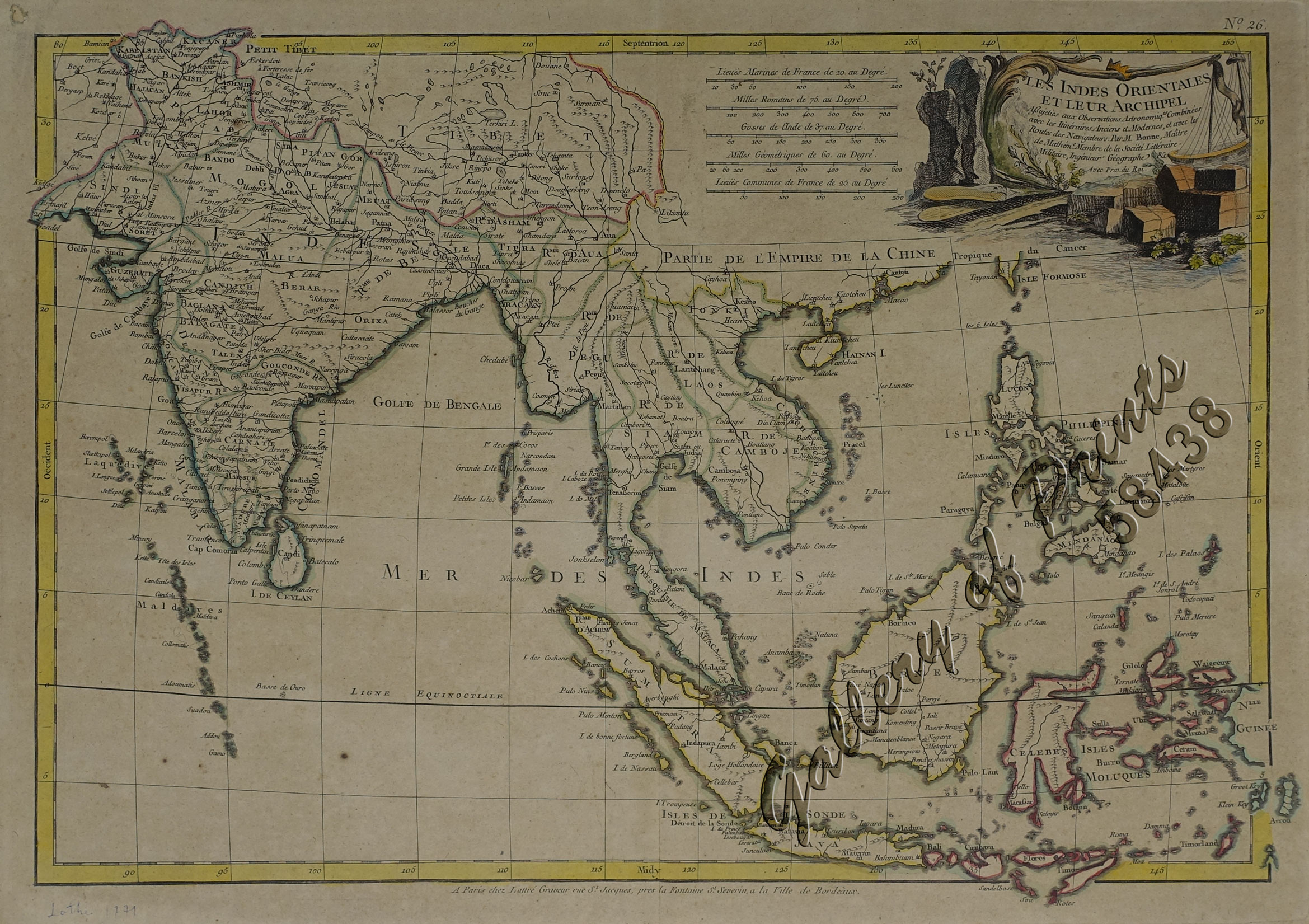
Les Indes Orientales et leur Archipel…
₱14,700.00
In Stock
In Stock
Description
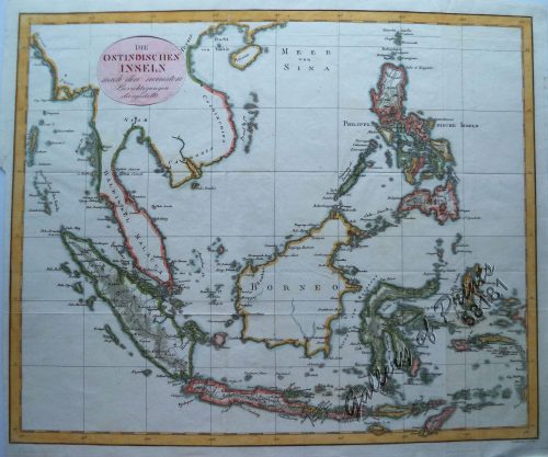
hand-coloured copper engraving map drawn by R. Bonne for Jean Lattre’s ‘Atlas Moderne’.
Shows area from India to the East Indies including the Philippines, the Maldives and part of Taiwan. At the southern end of the Malaysian Peninsula a group of islands includes Sin Capura.
Jean Lattré was a Parisian bookseller and engraver who published many maps, plans, globes, and atlases. He worked closely with other important French cartographers, including Janvier, Bonne, and Delamarche, as well as other European mapmakers, such as William Faden, Santini, and Zannoni. Lattré is also interesting due to his propensity to bring suits against those who copied his work. Map piracy and copyright violations were common in 18th-century cartography and mapmakers in France.
Condition
with centerfold as issued, paper toning, with small repaired hole along top left corner, 4 cropped corners, 4 remnant hinges on verso, with ballpen mark Lattre 1771 at lower left margin, pagination on verso in an old hand “(30), shining through on upper margin, cleaned.

