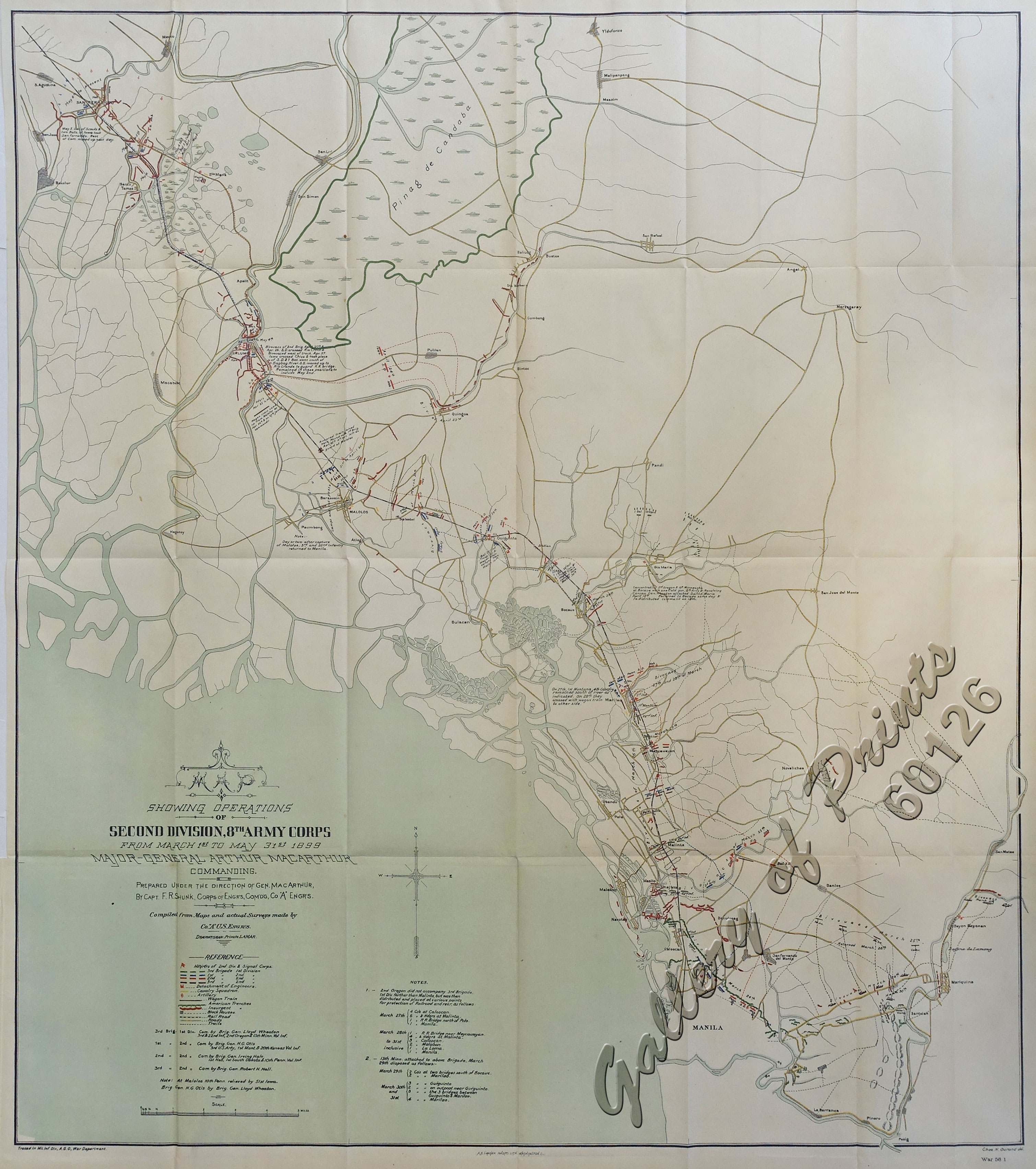
Map Showing Operations of Second Division, 8th Army Corps from March 1st to May 31st 1899
₱18,700.00
In Stock
In Stock
Description
original-colour lithograph.
UNCOMMON map from ‘Annual Report of the War Department’.
This terrific large map shows today’s Greater Manila from the Pasig River northward till Malolos during the Philippine-American War.
This highly detailed map documents the movement of American troops following the Battle of Manila to combat guerilla forces to the north and west of Manila. It lays out 45 miles of troop movement from Manilla to San Fernando covering the period from March 24th to May 5th. A color-coded legend at bottom further identifies troop divisions, artillery, wagon trains, American trenches, insurgents, roads, trails and more. Drawn by Chas. H. Ourand under the direction of F.R. Shunk.
Condition
with folds as issued, tight right margin.

