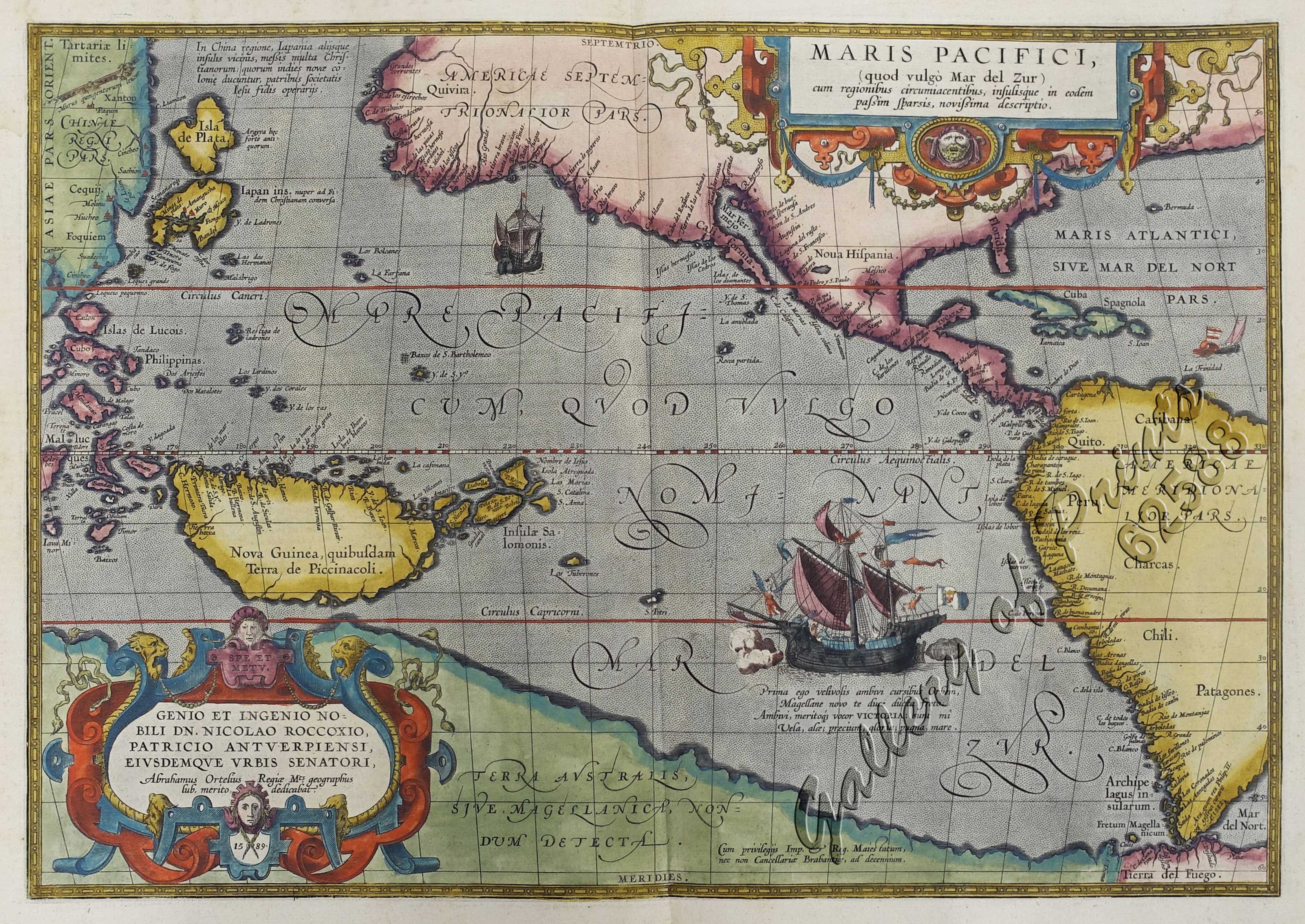
Maris Pacifici
SOLD
Author: Abraham Ortelius
Publisher: published in Antwerp.
Year: c. 1589
Size: 34.2 x 49.3 cm
Reference: Quirino p.17; Koeman III, Ort 29 B; Phillips (Atlases) 396; Tooley, 29-30; Moreland & Bannister, 98 + 100; Karrow, 1/164
Description
original hand-colour copper engraving.
EXTREMELY RARE map from Theatrum Orbis Terrarum, showing the Pacific Ocean, Philippines and the Americas; beautiful drawing of a galleon; published in Antwerp; Latin edition. The first printed map of the Pacific. Acknowledged to be one of the most beautiful and decorative maps which appeared in the Theatrum Orbis Terrarum, it was also one of the most important. It includes an important early depiction of the west coast of North America, Japan and New Guinea, and according to Wagner “constitutes a distinct departure, being unlike any map of the Northwest coast published before 1589”. With Magellan’s ship “Victoria” in the Pacific. The first ship to sail around the world!

