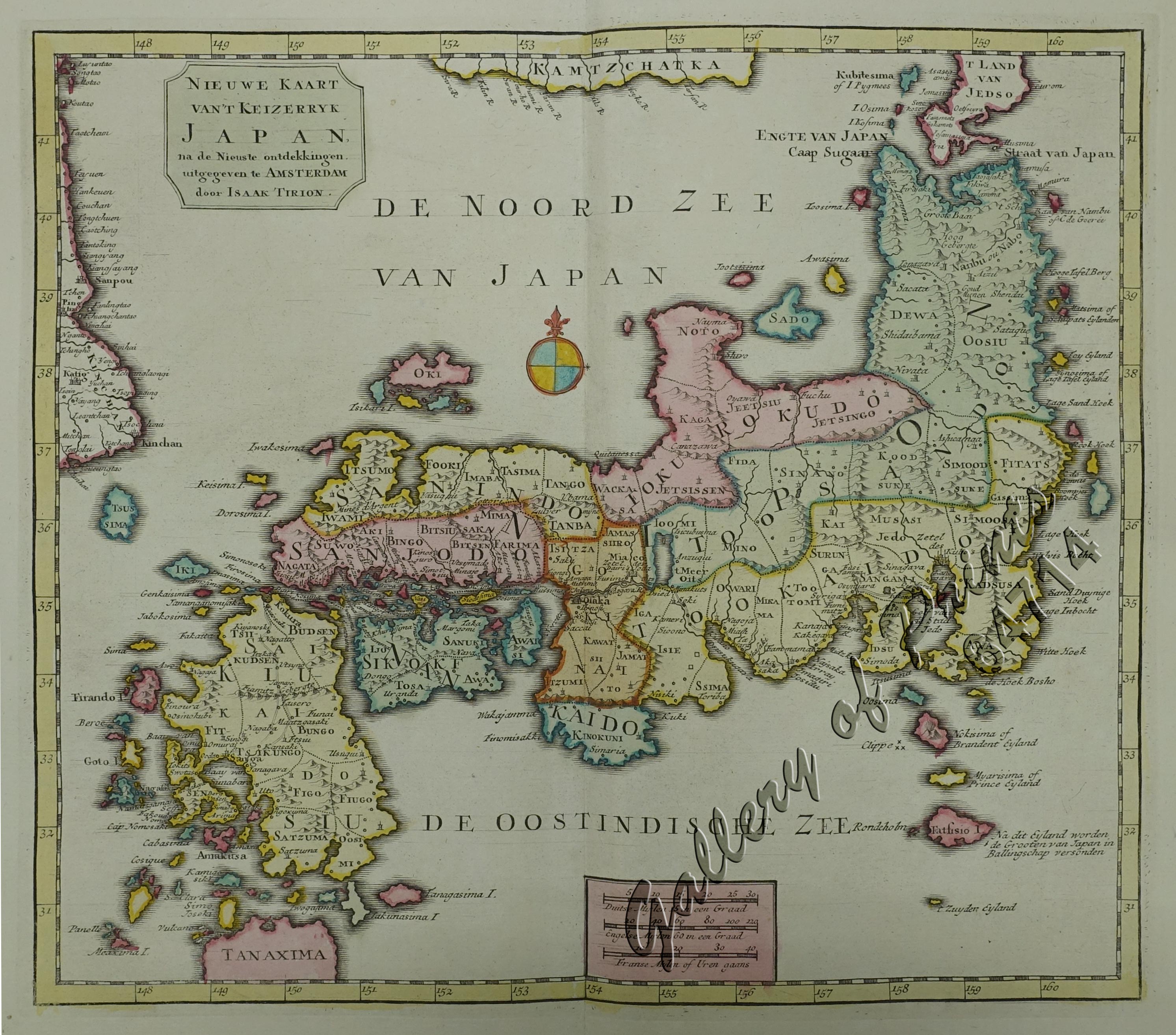
Nieuwe Kaart van’t Keizerryk Japan na de Nieuste ontdekkingen uitgegeven te Amsterdam door Isaak Tirion. [New Map of the Empire of Japan after the New Discoveries published in Amsterdam by Isaak Tirion.]
₱13,200.00
In Stock
In Stock
Description
original hand-colour copper engraving very decorative map of Japan from ‘Nieuwe en beknopte Hand-Atlas, bestaande in eene Verzameling van eenige der algemeenste en noodigste Landkaarten’; [New and Concise Hand Atlas, Consisting of a Collection of some of the most General and Necessary Maps]; published by the Dutch publisher Isaak Tirion (1705-1765) in Amsterdam ca. 1759 (though the printed title reads 1744). His maps are mostly based on Guilaume Delisle – also de L’Isle – (1675-1726), the French cartographer known for his popular and accurate maps of Europe and the New World. Tirion was more of a bookseller and publisher than a geographer or cartographer.
But he must have done very well by the cartographer under his employ as his maps excel in style and exactness.
Condition
with centerfold as issued, very good condition.

