[Philippine]
₱6,600.00
In Stock
In Stock
Description
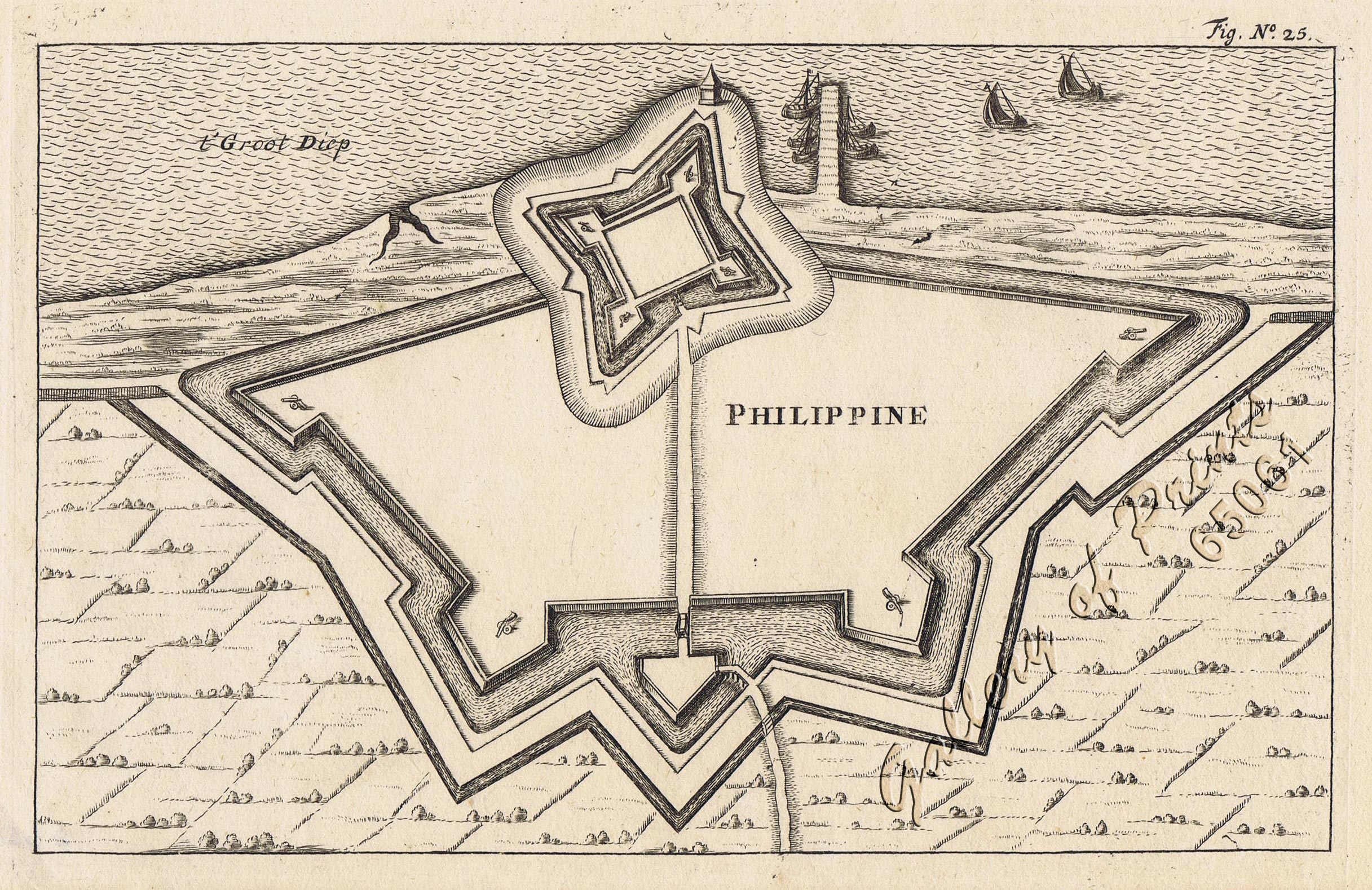
copper engraving. Interesting map from the famous city Atlas: ‘Toneel der Steeden’ pl. 25, published by Joan Blaeu. This plan shows the Dutch Fort Philipppine near the Town of Terneuzen in the province of Zeeland, taken from Jan Jansson’s first publication in 1635. Joan Blaeu (1596-1673) was a Dutch cartographer. Born in Alkmaar, son of Willem Blaeu. In 1635 they published the Atlas Novus (full title: Theatrum orbis terrarum, sive, Atlas novus) in two volumes. Joan and his brother Cornelius took over the studio after their father died in 1638. Joan became the official cartographer of the Dutch East India Company. Around 1649 Joan Blaeu published a collection of Dutch city maps named Tooneel der Steeden (Views of Cities). In 1662 he reissued the atlas with 11 volumes, and one for oceans. It was also known as Atlas Maior. A cosmology was planned as their next project, but a fire destroyed the studio completely in 1672.
Condition
very good condition.

