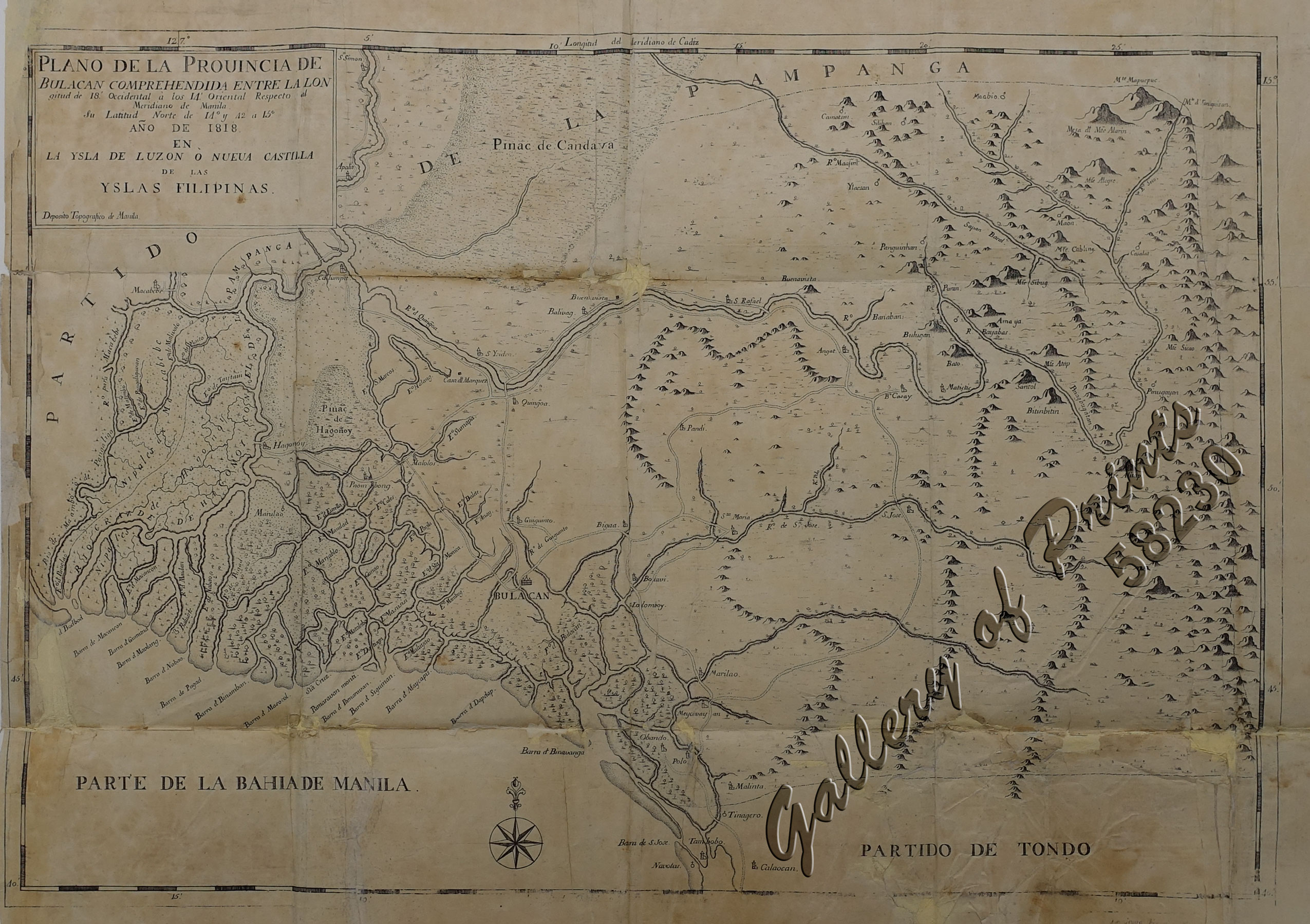
Plano de la Provincia de Bulacan Comprehendida entre la longitud de 18.’ Occidental à los 14.’ Oriental Respecto al Meridiano de Manila. Su Latitud Norte de 14.° y 42 a 15° Año de 1818. En la Ysla de Luzon ò Nueva Castilla de las Yslas Filipinas.
₱425,000.00
In Stock
In Stock
Description
copper engraving. EXTREMELY RARE.
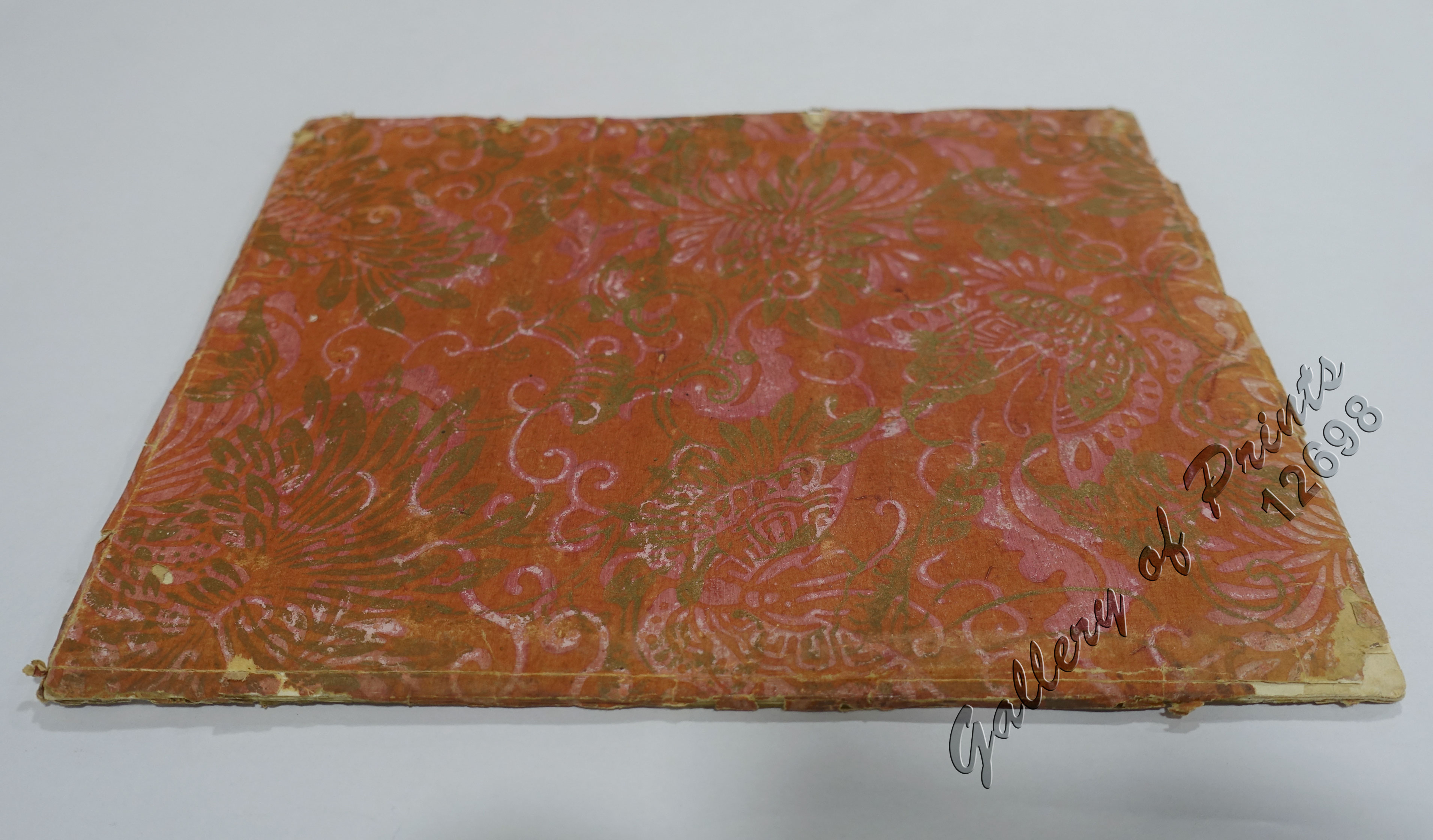
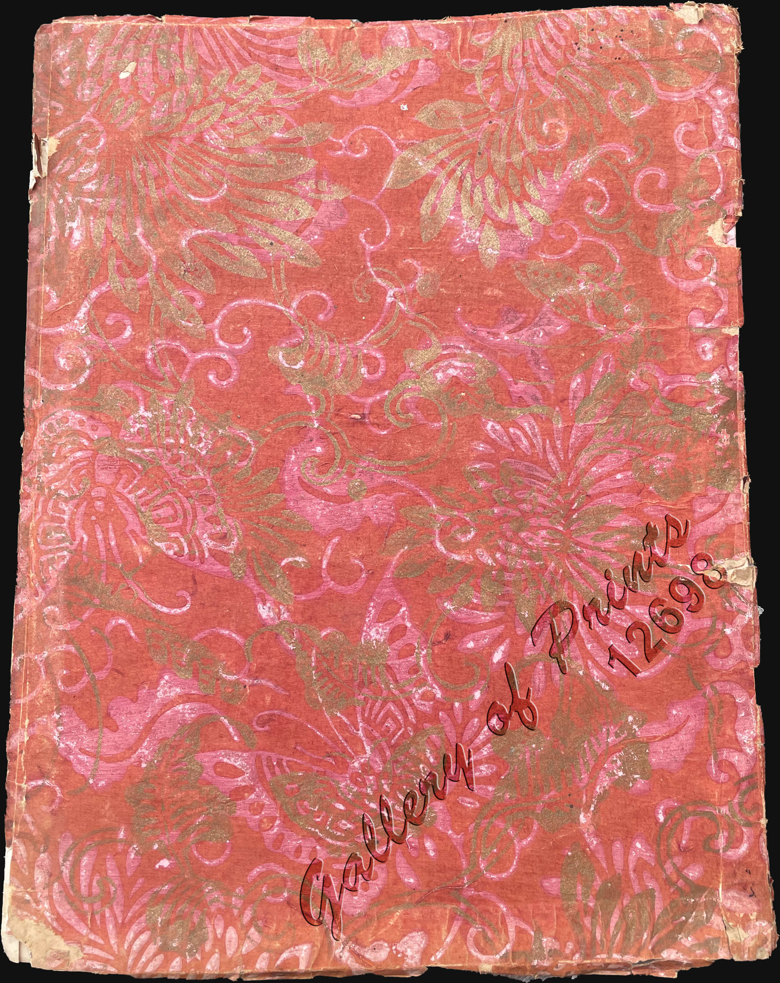
The almost impossible to find map of the ‘Provincia de Bulacan.’ as commercially virtually unavailable in ANY condition, as not offered out of any institution or private collection in decades; more so together with the the equally important find of the accompanying book III. printed by D. Manuel Memije for D. Anastacio Gonzaga on Oct. 5, 1820, and accompanying the 21 pp description of the “Provincia de Bulacan”, published by the Deposito Topografico in 1820. An outstanding example of the 1818 Deposito Topografico / Ildefonso de Aragón map of the province of Bulacan. This is the frist specific map of a Philippine province, compiled as part of Ildefonso, and the Deposito’s flagship effort to bring structed modern survey techniques to the archipelago.
The map embraces Bulacan, the area along Manila Bay northwest of Metro Manila roughly as far as the complex Pampanga River delta. This includes the northernmost regions of Metro Manila, including Valenzuela, Caloocan, Bocaue and Santa Maria, as well as Malolos and Guiguinto. Navigable river networks, as well as established roads, including important bridges, are noted.
Deposito Topografico (1819-1898) was a Spanish mapping agency based in Manila during the Spanish period. The Deposito was founded by Ildefonso de Aragón y Abollado (1760-1838) in 1819 to bring modern surveying and mapmaking techniques to the archipelago. It issued numerous maps of the Philippines and Philippine provinces, as well as textual geographies. Most were engraved and printed locally using fine Philippine rice paper. It remained in operation until 1898, when 300 years of Spanish rule abruptly ended.
Condition
Map: with crude restorations at bottom right portion and along folds, with creases and repaired tears on folds, with the usual toning for this paper type.
Book: professionally repaired wrapper spine, otherwise in outstanding condition for such fragile paper.

