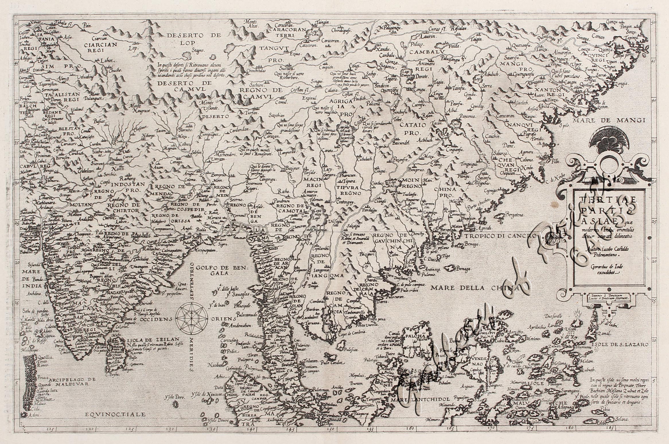
Tertiae Partis Asiae…India orientalis…
₱495,000.00
In Stock
In Stock
Description
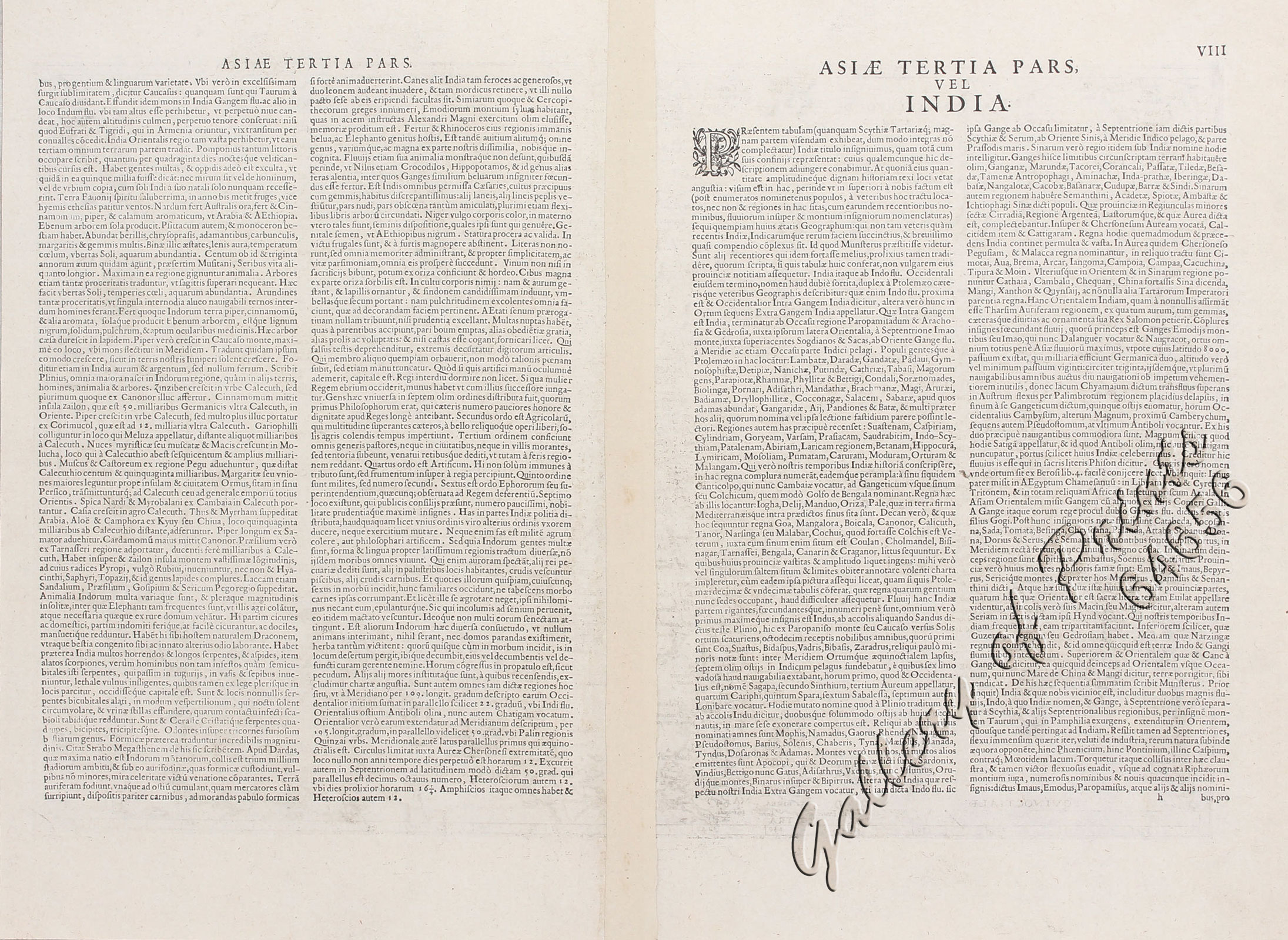
copper engraving, verso text is Latin, ‘Asiae Tertia Pars vel India’.
EXTREMELY RARE map from the first edition (of 2) ‘Speculum orbis terrarum’, With pag. “VIII” and sign. “h”. A very rare and beautiful map of the Far East focusing on the region from India to China. It includes the Malay Peninsula with a large Singapore (Cingatola),the Philippines and the Moluccas. It is based on Gastaldi’s map of Asia (1559) and from Jesuit sources in China. The Philippines Islands have a recognizable configuration, but Borneo is far too small. The map was engraved by Lucas & Jan van Doeticum in circa 1566 and first published in 1578 in De Jode’s Speculum Orbis Terrarum. the only other edition, (Speculum Orbis Terrae) was published in 1593 by his son Cornelis. In 1600 the plates were sold to Vrients, who had also acquired the Ortelius plates, merely to stop their re-issue. Strapwork cartouche and compass rose.
Condition
somewhat toned, cleaned and sized, 1 slight spot at right of image, light shine-through of text in places.

