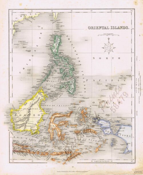
- View cart You cannot add another "Oriental Islands." to your cart.
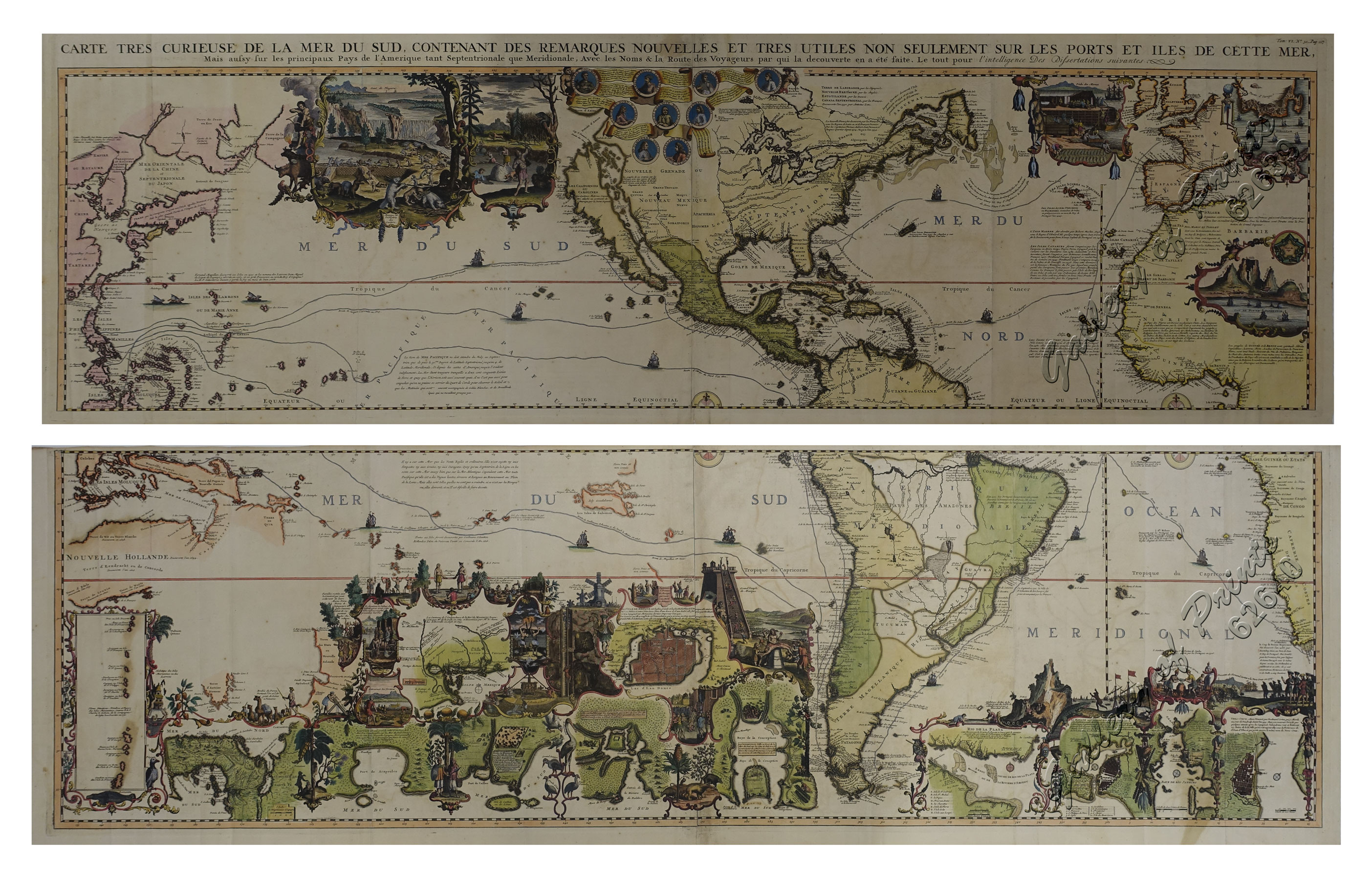
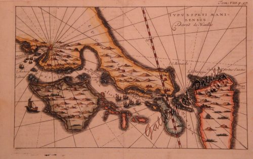
Carte tres curieuse de la mer du sud, contenant des remarques Nouvelles et tres utiles non Seulement sur les ports et iles de cette mer. [1st and 2nd Sheet] [A Very Special Map of the Southern Sea, Containing New and Very Useful Descriptions not Only of its Ports and Islands.]
₱790,000.00
In Stock
In Stock
Description
original outline-colour copper engravings, enhanced hand-colour. EXTREMELY RARE.
Stunning World map in 2 sheets, from the extensive multi-volume ‘Atlas Historique’, vol. 6, no. 30, p. 117; published by Chatelain, Amsterdam.
One of the most informative, decorative and impressive maps centered on the Pacific available. Printed on four large sheets, the overall map is of wall-chart proportions and a veritable pictorial encyclopaedia of the World, including the Philippines; many famous voyagers’ tracks/routes are indicated. A great example of early 18th Century craftsmanship!
Condition
1st sheet – folds as issued, small tear on lower centrefold; 2nd sheet – folds as issued; due to imperfect printing, the neatlines are not perfectly parallel, neither horizontally nor vertically. Otherwise Excellent condition.

