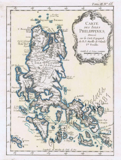
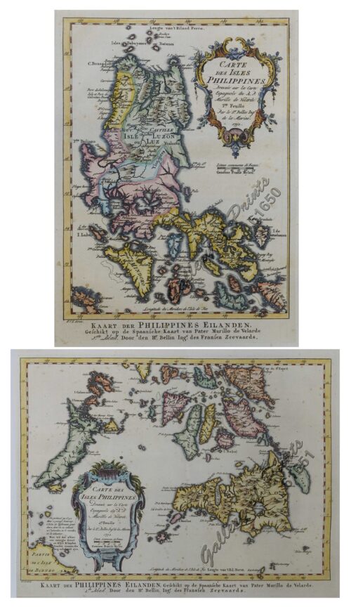
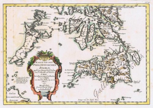
- View cart You cannot add another "1) Carte des Isles Philippines (1e feuille) Kaart der Philippines Eilanden, Geschikt op de Spaansche Kaart van Pater Murillo de Velarde 1.ste Blad. Door den Hr. Bellin Ingr. des Fransen Zeevaards. 2) Carte des Isles Philippines (2e feuille) Kaart der Philippines Eilanden, Geschikt op de Spaansche Kaart van Pater Murillo de Velarde 2.de Blad. Door den Hr. Bellin Ingr. des Fransen Zeevaards." to your cart.
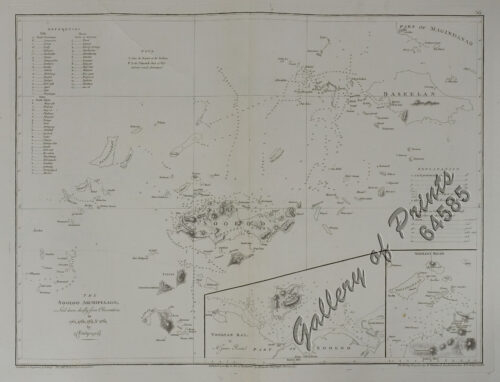
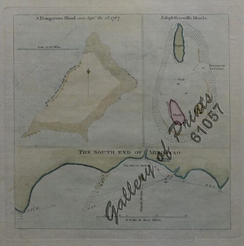
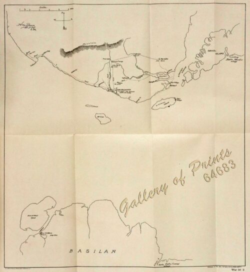
View cart “1) A Dangerous Shoal… 2) Joseph Freewills Island. 3) The South End of Mindanao.” has been added to your cart.
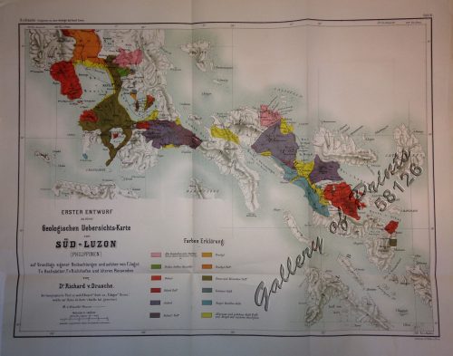
View cart “Erster Entwurf zu einer Geologischen Uebersichts-Karte von Süd-Luzon [Initial Draft for a Geological Map of Southern Luzon]” has been added to your cart.
View cart “1) Carte des Isles Philippines (1e feuille) Kaart der Philippines Eilanden, Geschikt op de Spaansche Kaart van Pater Murillo de Velarde 1.ste Blad. Door den Hr. Bellin Ingr. des Fransen Zeevaards. 2) Carte des Isles Philippines (2e feuille) Kaart der Philippines Eilanden, Geschikt op de Spaansche Kaart van Pater Murillo de Velarde 2.de Blad. Door den Hr. Bellin Ingr. des Fransen Zeevaards.” has been added to your cart.
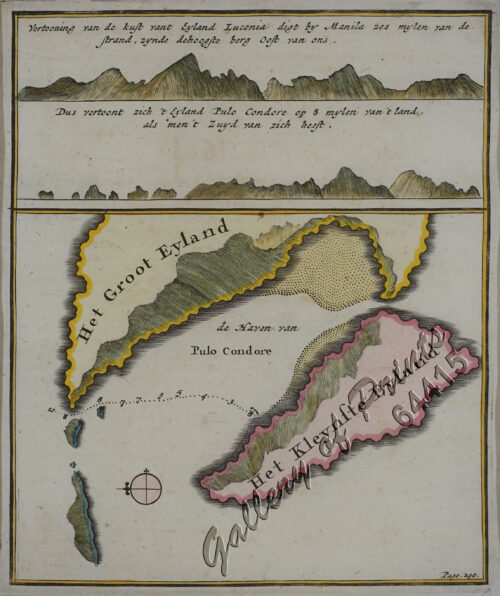
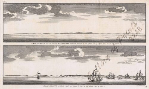
View cart “Vertooning van de kust vant Eyland Luconia digt by Manila.’ & ‘t Eyland Pulo Condore op 8 mylen van t land’. [Relief of the coast of Luconia Island nearby Manila & Map of Pulo Condore Island 8 miles away from the coast]” has been added to your cart.
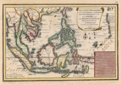
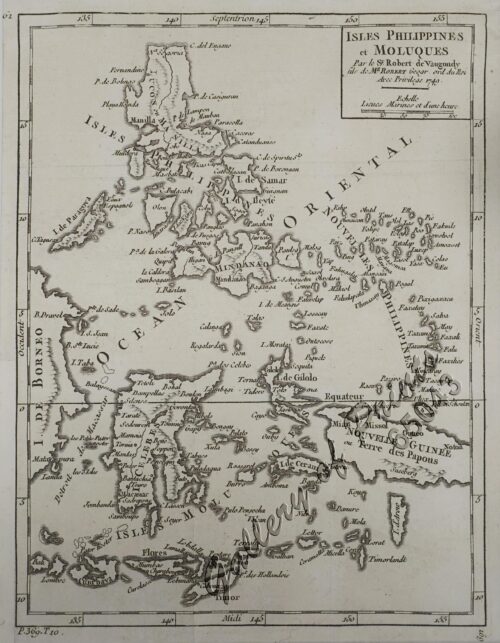
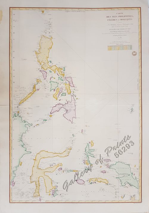
View cart “Isles Philippines et Moluques” has been added to your cart.
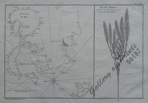
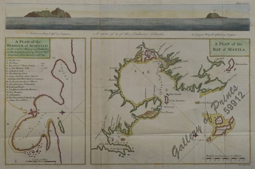
View cart “1) [Lagune de Bay] [Baye de Manille]. 2) Plante Marine…” has been added to your cart.
View cart “1) Carte des Isles Philippines (1e feuille); 2) Carte des Isles Philippines (2e feuille)” has been added to your cart.

