A Sales Exhibition of original maps, prints, and books by the GALLERY OF PRINTS.
Opens on Thursday March 20th, 2014 at the 3rd floor Art Space, Glorietta IV, Ayala Center, Makati City, MM, at 6.00 p.m. – Exhibit runs until Wednesday, April 30th, 2014.
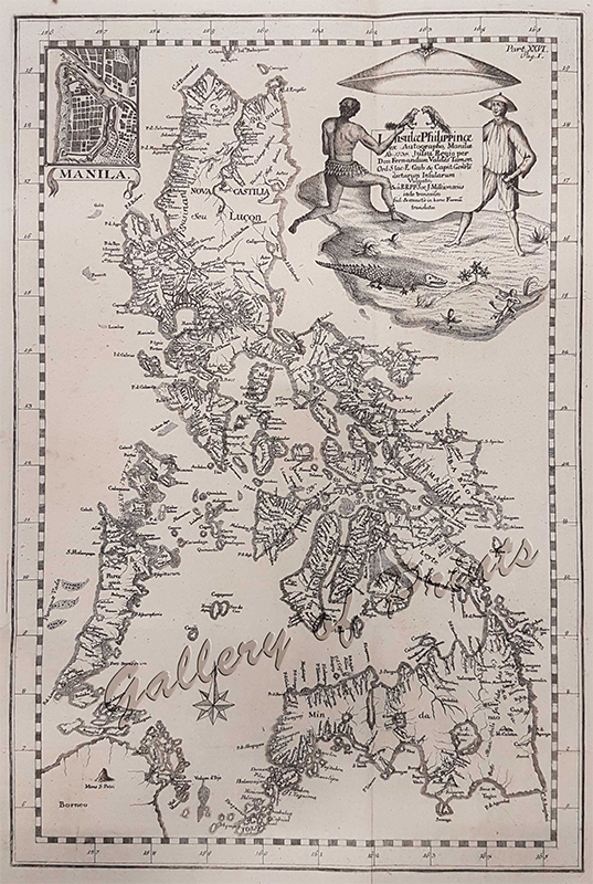
The 18th Century saw the great achievements of cartographers outlining the Philippines in detail never seen before to an astonishing accuracy by today’s standards.
The most famous map made in the Philippines by Father Murillo de Velarde was engraved by Filipino artists Nicolas Cruz de Bagay and Francisco Suarez, then first published in 1734, with several smaller versions to follow, two of which are on exhibit.
Many cartographers in France, Germany, Italy and other countries copied this map, some with attribution, some without – ignoring what we today would term “copyrights”.
Beautiful renditions of Manila and other parts of the country reflect the age of the Galleon Trade and emphasize the Philippines as a prime target by the other World Power England: Snatch whatever you can get from Spain: Precious Metals and Spices….. Freebooters criss-crossed the Oceans, specially the Pacific.
Exhibit Period: 20 March – 30 April 2014

