- View cart You cannot add another "Map of the United States showing the Territorial Expansion of a Century 1804 to 1904 insets: 1) The World. 2) Wake Island. 3) Territory of Alaska. 4) Guam Island. 5) Porto Rico. 6) Philippine Islands. 7) Hawaiian Islands. 8) Tutuila, Manua and Smaller Islands of the Samoan Group. 9) Plan of Panama Canal Zone. 10) Plan showing the Thirteen Original States." to your cart.
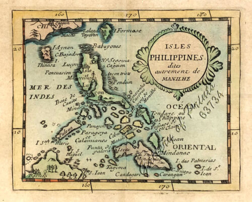
View cart “Isles Philippines dites autrement de Manilhe” has been added to your cart.
View cart “[Sailing Boat] [illegible title]” has been added to your cart.
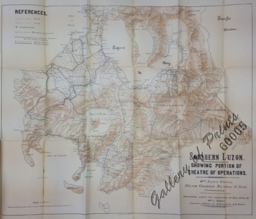
View cart “Southern Luzon. Showing portion of Theatre of Operations. 8th Army Corps, Major Gen. Elwell S. Otis, commanding. – Prepared under the direction of Gen. Otis by Wm L. Sibert, Captain, Corps of Engineers, U.S. Army.” has been added to your cart.
View cart “Environs of Manila” has been added to your cart.
View cart “Harper’s Weekly – A Journal of Civilization with frontispiece: The End of the Coast. – Drawn by A. B. Frost.” has been added to your cart.
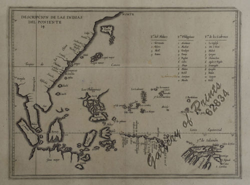
View cart “A New Map of the East Indies, Taken from Mr. de Fer’s Map of Asia, Shewing their Chief Divisions, Cities, Towns, Ports, Rivers, Mountains & c. Dedicated to His Highness William Duke of Glocester.” has been added to your cart.
View cart “Harper’s Weekly – A Journal of Civilization with frontispiece: Ice-Yachting-Hard-A-Lee! Drawn by W. P. Snyder.” has been added to your cart.
View cart “Isla de Negros pl. 21, with Inset of Bacolod & Surroundings” has been added to your cart.
View cart “Manila Harbor Complimentary Map of the City of Manila.” has been added to your cart.
View cart “The Inhabitants of the Philippines” has been added to your cart.
View cart “Mosque in the Town of Sooloo” has been added to your cart.
View cart “Carte des Iles Philippines Pour servirà l’intelligence de l’ouvrage sur les Possessions Espagnoles dans l’Océanie, par Mr. J. Mallat. inset: Iles Batanes” has been added to your cart.