- View cart You cannot add another "Map of the United States showing the Territorial Expansion of a Century 1804 to 1904 insets: 1) The World. 2) Wake Island. 3) Territory of Alaska. 4) Guam Island. 5) Porto Rico. 6) Philippine Islands. 7) Hawaiian Islands. 8) Tutuila, Manua and Smaller Islands of the Samoan Group. 9) Plan of Panama Canal Zone. 10) Plan showing the Thirteen Original States." to your cart.
View cart “Harper’s Weekly – A Journal of Civilization with frontispiece: The Sovereigns at the with frontispiece: In The Bitter Cold.” has been added to your cart.
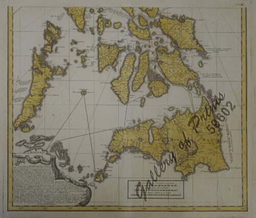
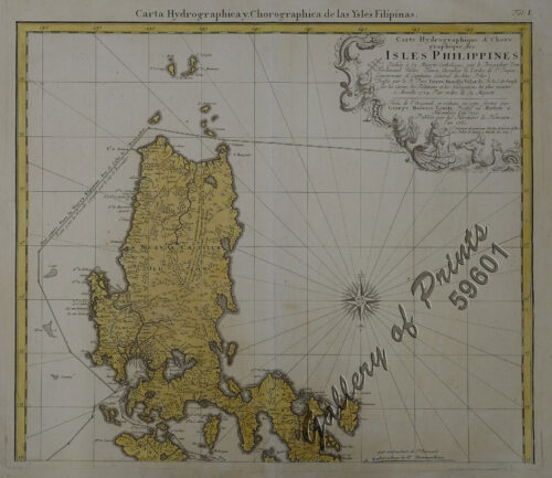
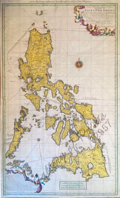
View cart “Carte Hydrographique & Chorographique des Isles Philippines (Carta Hydrographica y Chorographica de las Ysles Filipinas)” has been added to your cart.
View cart “The Illustrated London News Vol. 32 – No. 897” has been added to your cart.
View cart “Carte des Isles Philippines, Celebes et Moluques [Kaart van de Filippynse, Celebes, en Molukse-Eilanden]” has been added to your cart.