- View cart You cannot add another "La Naturaleza en Filipinas. - Las Orillas del Rio de San Juan del Monte, Cerca de Mariquina. [Nature in the Philippines. - The River Banks of San Juan del Monte, near Marikina.]" to your cart.
- View cart You cannot add another "Map of the United States showing the Territorial Expansion of a Century 1804 to 1904 insets: 1) The World. 2) Wake Island. 3) Territory of Alaska. 4) Guam Island. 5) Porto Rico. 6) Philippine Islands. 7) Hawaiian Islands. 8) Tutuila, Manua and Smaller Islands of the Samoan Group. 9) Plan of Panama Canal Zone. 10) Plan showing the Thirteen Original States." to your cart.
- View cart You cannot add another "La Guerra en Filipinas. - Sellos del "Katipunán" y de varias logias Masónicas del Archipiélago. [The War in the Philippines. - Seals of the "Katipunan" and of several Masonic lodges of the Archipelago.]" to your cart.
View cart “Philippine Islands. Anchorages in Northern Luzon and the Babuyan Islands. Insets: 1) Babuyan Is. – Fuga I. Musa Bay. From the United States Government Chart to 1931. 2) Babuyan Is. – Camiguin I. Port San Pio Quinto. From the United States Government Chart to 1931. 3) Luzon-North-East Coast Port San Vicente. From the United States Government Chart to 1938. 4) Luzon – East Coast Mauban Anchorage. From the Philippine Government Chart of 1957. 5) Luzon – West Coast. Salomague Harbour and Lapog Bay. From the United States Government Chart of 1934. 6) Luzon – West Coast Port Currimao and Gan Bay. From the United States Government Chart of 1934. 7) Luzon – West Coast Solvec Cove. From the United States Government Chart of 1934. 8) Luzon – West Coast Lingayen Gulf. Port Sual with Cabalitian Bay. From the United States Government Chart of 1922. 9) Luzon – West Coast San Fernando Harbour. From the United States Government Chart of 1936.” has been added to your cart.
View cart “Bibliography of the Philippine Islands. Printed and Manuscript. Preceded by a Descriptive Account of the most important Archives and Collections containing Philippina” has been added to your cart.
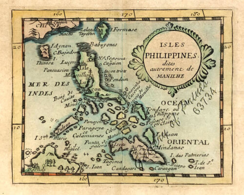
View cart “1) Carte des Isles Philippines (1e feuille) Kaart der Philippines Eilanden, Geschikt op de Spaansche Kaart van Pater Murillo de Velarde 1.ste Blad. Door den Hr. Bellin Ingr. des Fransen Zeevaards. 2) Carte des Isles Philippines (2e feuille) Kaart der Philippines Eilanden, Geschikt op de Spaansche Kaart van Pater Murillo de Velarde 2.de Blad. Door den Hr. Bellin Ingr. des Fransen Zeevaards.” has been added to your cart.
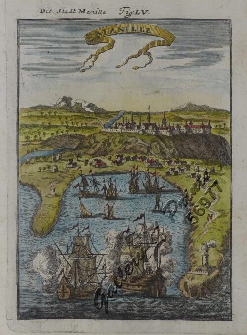
View cart “Manila [Sketch and Description of Manila Port] [with a fleet of Adm. Joris van Spilberghen & a smoking Taal]” has been added to your cart.
View cart “Chart of Port IloIlo and Panay” has been added to your cart.