- View cart You cannot add another "The Bontoc Igorot. The Ethnological Survey Publications vol. 1." to your cart.
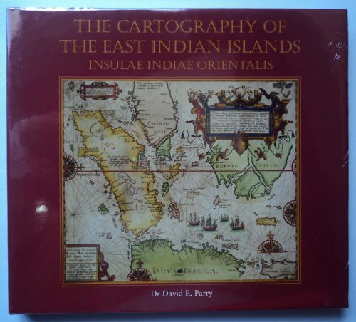
View cart “The Cartography of the East Indian Islands, Insulae Indiae Orientalis.” has been added to your cart.
View cart “A view of Cape Espiritu Santo, on Samal, one of the Phillippine Islands… Centurion engag’d and took the Spanish Galeon call’d Nostra Seigniora de Cabadonga, from Acapulco bound to Manila.” has been added to your cart.
View cart “Caboteur et Pirogues de la Laguna pres de Manille. [Coasters and canoes from La Laguna, near Manila]” has been added to your cart.
View cart “China in Those Days. Insights into Historical China through Postcards of the Time” has been added to your cart.
View cart “Map of the United States showing the Territorial Expansion of a Century 1804 to 1904 insets: 1) The World. 2) Wake Island. 3) Territory of Alaska. 4) Guam Island. 5) Porto Rico. 6) Philippine Islands. 7) Hawaiian Islands. 8) Tutuila, Manua and Smaller Islands of the Samoan Group. 9) Plan of Panama Canal Zone. 10) Plan showing the Thirteen Original States.” has been added to your cart.
View cart “Geologie der Insel Luzon” has been added to your cart.
View cart “The Bontoc Igorot. The Ethnological Survey Publications vol. 1.” has been added to your cart.
View cart “Shipwrecks & Sunken Treasures in Southeast Asia” has been added to your cart.
View cart “1) Carta dell’Isole Filippine [1st sheet]. 2) Carta dell’Isole Filippine di Mr. Bellin Ingegnere della Marine Foglio 1 mo [2nd sheet]” has been added to your cart.
View cart “La Guerra en Filipinas. – Un Reducto en los Alrededores de Balayán, Base de Operaciones de la Brigada Jaramillo. [The War in the Philippines. – “A Redoubt in the Surroundings of Balayán, Base of Operations of the Brigade Jaramillo.” of Balayán, Base of Operations of the Jaramillo Brigade.]” has been added to your cart.