- View cart You cannot add another "Map of the United States showing the Territorial Expansion of a Century 1804 to 1904 insets: 1) The World. 2) Wake Island. 3) Territory of Alaska. 4) Guam Island. 5) Porto Rico. 6) Philippine Islands. 7) Hawaiian Islands. 8) Tutuila, Manua and Smaller Islands of the Samoan Group. 9) Plan of Panama Canal Zone. 10) Plan showing the Thirteen Original States." to your cart.
- View cart You cannot add another "Location of Troops in the Philippine Islands March 31, 1900." to your cart.
View cart “Katalog des Ethnographischen Reichsmuseums Band XX Philippinen [Catalog of the Ethnographic Reichsmuseum Volume XX Philippines]” has been added to your cart.
View cart “The Philippines: A Summary Account of their Ethnographical, Historical and Political Conditions [translation of “Die Philippinen. Eine übersichtliche Darstellung der ethnographischen und historisch=politischen Verhältnisse des Archipels” with an Appendix containing The Constitution of the Philippine Republic [translation of “Mit einem Anhange – Die wichtigsten Paragraphen der Verfassung der philippinischen Republik.”” has been added to your cart.
View cart “Location of Troops in the Philippine Islands March 31, 1900.” has been added to your cart.
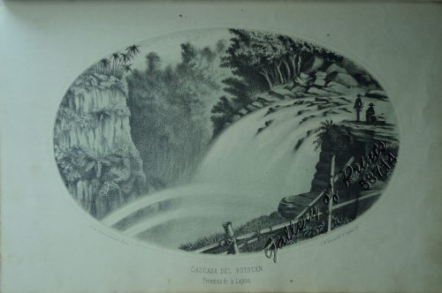
View cart “The Philippines in the 19th Century (A Collection of Prints)” has been added to your cart.
View cart “Souvenirs d’un Voyage aux Iles Philippines par J. de Man” has been added to your cart.
View cart “Carte des Iles Philippines Pour servirà l’intelligence de l’ouvrage sur les Possessions Espagnoles dans l’Océanie, par Mr. J. Mallat. inset: Iles Batanes” has been added to your cart.
View cart “San Miguel (Filipinas). – Camarin de Azúcar. La República Tagala. [Sugar Preparation Area]” has been added to your cart.