- Sorry, this product cannot be purchased.
- Sorry, this product cannot be purchased.
View cart “Map of the United States showing the Territorial Expansion of a Century 1804 to 1904 insets: 1) The World. 2) Wake Island. 3) Territory of Alaska. 4) Guam Island. 5) Porto Rico. 6) Philippine Islands. 7) Hawaiian Islands. 8) Tutuila, Manua and Smaller Islands of the Samoan Group. 9) Plan of Panama Canal Zone. 10) Plan showing the Thirteen Original States.” has been added to your cart.
View cart “Cascos de la Laguna, a la voile. [“Cascos” from La Laguna, under Sail]” has been added to your cart.
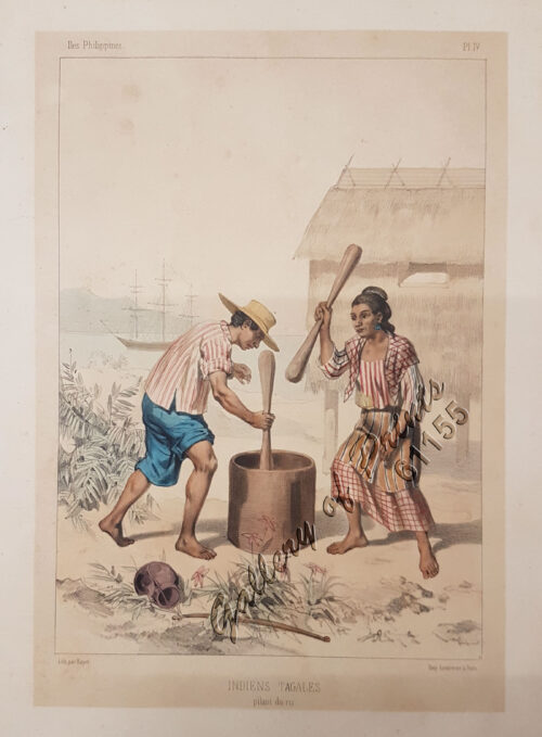
View cart “Indiens Tagales pilant du riz [Tagal Indians pounding rice.]” has been added to your cart.
View cart “Iles Philippines. Depart de Chasseurs Tagales. [Departure of Tagal Hunters] [after de la Touanne]” has been added to your cart.