Tel : +63(2)-7729-8168
|
Email Us : gallery@gop.com.ph
My Account
Remember Me
Register
17 Item(s)
-
₱
433,500.00
Insulae Philippinae
1 x
₱
220,000.00
Memorias de la Real Academia de Ciencias Exactas, Fisicas y Naturales de Madrid Tomo XIV. - Atlas Estudios Preliminares Sobre La Fauna Malacológica de las Islas Filipinas.
1 x
₱
13,200.00
Carayas ou machines a pecher et Banka de Manille. ["Tarayas" (correctly called "Salambas") or fishing contraptions; and "Banka" from Manila]
1 x
₱
99,000.00
[Emperor Moth]
1 x
₱
6,600.00
Eene audiente bij den Sultan van Soeloe
1 x
₱
11,000.00
Sticklebacks 1. Rough - tailed 2. Half - armed 3. Smooth - tailed 4. Short - spined 5. Four - spined 6. Ten - spined
1 x
₱
5,500.00
Harper's Weekly - A Journal of Civilization with frontispiece: The Sovereigns at the with frontispiece: In The Bitter Cold.
1 x
₱
11,000.00
The Story of Maps. Putting the World in Perspective
1 x
₱
3,900.00
Harper's Weekly - A Journal of Civilization with frontispiece: Ice-Yachting-Hard-A-Lee! Drawn by W. P. Snyder.
1 x
₱
7,700.00
China Sea - Macclesfield Bank. Surveyed by Commander W.U. Moore and the Officers of H.M. Surveying Ship Penguin, 1892. and by Commander A. Mostyn Field and the Officers of H.M. Surveying Ship Egeria,1893.
1 x
₱
6,600.00
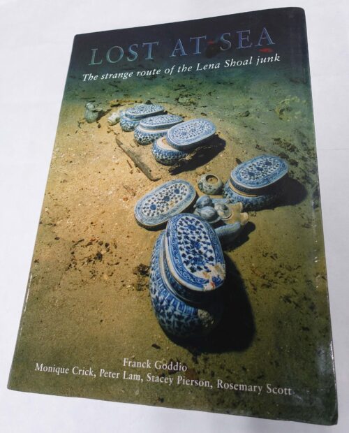
Lost at Sea. The strange route of the Lena Shoal junk
1 x
₱
5,900.00
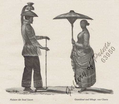
Malaien der Insel Luzon [Malay of Luzon Island]
1 x
₱
6,600.00
A Boat Girl at Canton
1 x
₱
4,400.00
Philippine Islands. Tablas Strait with Part of Sibuyan Sea. From the United States Government Charts of 1935.
1 x
₱
11,000.00
Philippine Islands. Anchorages in Northern Luzon and the Babuyan Islands. Insets: 1) Babuyan Is. - Fuga I. Musa Bay. From the United States Government Chart to 1931. 2) Babuyan Is. - Camiguin I. Port San Pio Quinto. From the United States Government Chart to 1931. 3) Luzon-North-East Coast Port San Vicente. From the United States Government Chart to 1938. 4) Luzon - East Coast Mauban Anchorage. From the Philippine Government Chart of 1957. 5) Luzon - West Coast. Salomague Harbour and Lapog Bay. From the United States Government Chart of 1934. 6) Luzon - West Coast Port Currimao and Gan Bay. From the United States Government Chart of 1934. 7) Luzon - West Coast Solvec Cove. From the United States Government Chart of 1934. 8) Luzon - West Coast Lingayen Gulf. Port Sual with Cabalitian Bay. From the United States Government Chart of 1922. 9) Luzon - West Coast San Fernando Harbour. From the United States Government Chart of 1936.
1 x
₱
11,000.00
China Sea - Palawan - East Coast - Port Royalist (P.to Princesa de Asturias of the Spanish). Surveyed by Comr. W.T. Bate R.N. Assisted by Lt C. Pasco, C. Bullock, Mate & W.B. Colver 2nd Master H.M.S/ Royalist 1850
1 x
₱
6,600.00
Lost Islands : The Story of Islands That Have Vanished from Nautical Charts
1 x
₱
3,500.00
View Cart
Checkout
Home
About Us
Publications
Shop Online
Framing Services
Exhibits
Picture Hanging System
Contact Us
View cart
“Lost Islands : The Story of Islands That Have Vanished from Nautical Charts” has been added to your cart.
Sort by
Date
Sort by
Default Order
Sort by
Name
Sort by
Price
Sort by
Date
Sort by
Popularity
Show
30 Products
Show
30 Products
Show
60 Products
Show
90 Products
Philippine Cartography
₱
6,600.00
Add to cart
Details
The Philippines in the 19th Century (A Collection of Prin...
₱
3,500.00
Add to cart
Details
The Hakluyt Society. The Travels and Controversies of Friar ...
₱
6,600.00
Add to cart
Details
Postcards
₱
990.00
Add to cart
Details
The Charting of the Oceans; Ten Centuries of Maritime Maps
₱
3,700.00
Add to cart
Details
China in Those Days. Insights into Historical China through ...
₱
7,700.00
Add to cart
Details
French Consular Dispatches on the Philippine Revolution.
₱
1,100.00
Add to cart
Details
Collecting Old Maps. Revised and Expanded Edition
₱
6,900.00
Add to cart
Details
Die Chinesen, Japaner und Inder auf den Philippinen [The Chi...
₱
2,500.00
Add to cart
Details
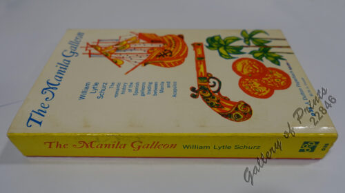
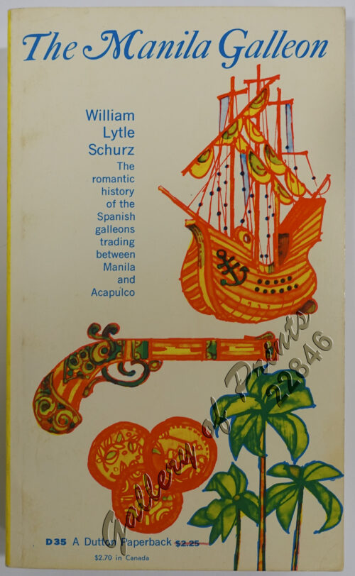
The Manila Galleon
₱
7,700.00
Add to cart
Details
El Sitio de Manila (1898). Memorias de un voluntario
₱
6,600.00
Add to cart
Details
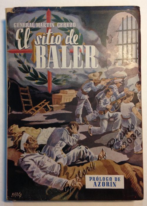
El Sitio de Baler. Prologo de Azorin
₱
9,900.00
Add to cart
Details
Discovering Antique Maps
₱
1,500.00
Add to cart
Details
Documents Illustrating the British Conquest of Manila 1762-1...
₱
3,700.00
Add to cart
Details
Antique Maps – Christie’s Collectors Guide
₱
2,500.00
Add to cart
Details
The First Philippine Republic & the United States. 1898-...
₱
990.00
Add to cart
Details
Brains of the Nation. Pedro Paterno, T.H. Pardo de Tavera, I...
₱
1,200.00
Add to cart
Details
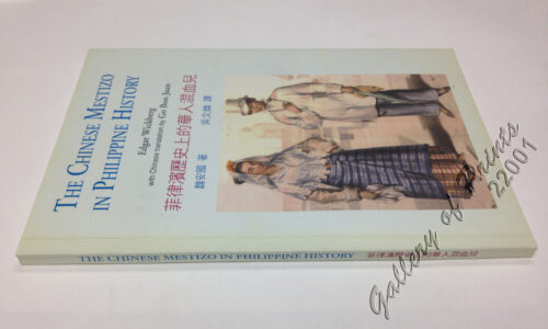
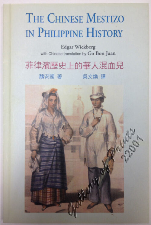
The Chinese Mestizo in Philippine History
₱
3,300.00
Add to cart
Details
The Devil’s Causeway. The True Story of America’...
₱
2,900.00
Add to cart
Details
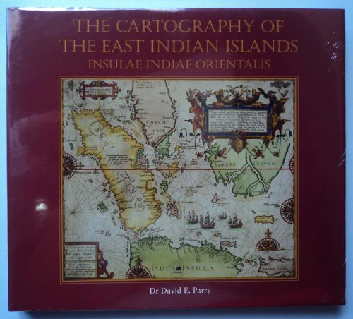
The Cartography of the East Indian Islands, Insulae Indiae O...
₱
6,600.00
Add to cart
Details
The Philippines in Ancient Chinese Maps
₱
2,400.00
Add to cart
Details
Shipwrecks & Sunken Treasures in Southeast Asia
₱
4,400.00
Add to cart
Details
Nachrichten von den Pelew-Inseln -in der Westgegend des Stil...
₱
2,200.00
Add to cart
Details
In the Shape of Tradition. Indigenous Art of the Northern Ph...
₱
9,500.00
Add to cart
Details
Two Ethnographic Collectors in the Late Spanish Philippines:...
₱
3,300.00
Add to cart
Details
Great Maps. the world’s masterpieces explored and expl...
₱
3,300.00
Add to cart
Details
Early Amercian Cartographies
₱
5,500.00
Add to cart
Details
1
2
3
4
5
Next
Shopping Cart
Lost Islands : The Story of Islands That Have Vanished from Nautical Charts
1
China Sea - Palawan - East Coast - Port Royalist (P.to Princesa de Asturias of the Spanish). Surveyed by Comr. W.T. Bate R.N. Assisted by Lt C. Pasco, C. Bullock, Mate & W.B. Colver 2nd Master H.M.S/ Royalist 1850
1
Philippine Islands. Anchorages in Northern Luzon and the Babuyan Islands. Insets: 1) Babuyan Is. - Fuga I. Musa Bay. From the United States Government Chart to 1931. 2) Babuyan Is. - Camiguin I. Port San Pio Quinto. From the United States Government Chart to 1931. 3) Luzon-North-East Coast Port San Vicente. From the United States Government Chart to 1938. 4) Luzon - East Coast Mauban Anchorage. From the Philippine Government Chart of 1957. 5) Luzon - West Coast. Salomague Harbour and Lapog Bay. From the United States Government Chart of 1934. 6) Luzon - West Coast Port Currimao and Gan Bay. From the United States Government Chart of 1934. 7) Luzon - West Coast Solvec Cove. From the United States Government Chart of 1934. 8) Luzon - West Coast Lingayen Gulf. Port Sual with Cabalitian Bay. From the United States Government Chart of 1922. 9) Luzon - West Coast San Fernando Harbour. From the United States Government Chart of 1936.
1
Philippine Islands. Tablas Strait with Part of Sibuyan Sea. From the United States Government Charts of 1935.
1
A Boat Girl at Canton
1
Malaien der Insel Luzon [Malay of Luzon Island]
1
Lost at Sea. The strange route of the Lena Shoal junk
1
China Sea - Macclesfield Bank. Surveyed by Commander W.U. Moore and the Officers of H.M. Surveying Ship Penguin, 1892. and by Commander A. Mostyn Field and the Officers of H.M. Surveying Ship Egeria,1893.
1
Harper's Weekly - A Journal of Civilization with frontispiece: Ice-Yachting-Hard-A-Lee! Drawn by W. P. Snyder.
1
The Story of Maps. Putting the World in Perspective
1
Harper's Weekly - A Journal of Civilization with frontispiece: The Sovereigns at the with frontispiece: In The Bitter Cold.
1
Sticklebacks 1. Rough - tailed 2. Half - armed 3. Smooth - tailed 4. Short - spined 5. Four - spined 6. Ten - spined
1
Eene audiente bij den Sultan van Soeloe
1
[Emperor Moth]
1
Carayas ou machines a pecher et Banka de Manille. ["Tarayas" (correctly called "Salambas") or fishing contraptions; and "Banka" from Manila]
1
Memorias de la Real Academia de Ciencias Exactas, Fisicas y Naturales de Madrid Tomo XIV. - Atlas Estudios Preliminares Sobre La Fauna Malacológica de las Islas Filipinas.
1
Insulae Philippinae
1
Cart
Checkout
Continue Shopping
17