Tel : +63(2)-7729-8168
|
Email Us : gallery@gop.com.ph
My Account
Remember Me
Register
28 Item(s)
-
₱
2,119,600.00
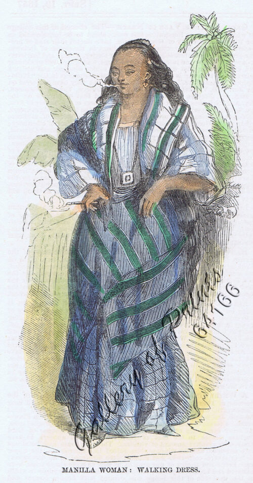
Manilla Woman: Walking Dress.
1 x
₱
4,400.00
Mapa General Atlas Geografico Descriptivo de la Peninsula Ibérica Yslas Baleares, Canarias y posesiones Españolas de Ultramar por el Comandte Capn de Infa auxiliar que ha sido del Deposito de la Guerra D. Emilio Valverde Y Alvarez. [insets]: 1. Islas Filipinas 2. Posesiones Españolas de golfo del Guinea 3. Antillas Españolas 4. Islas Canarias
1 x
₱
17,700.00
Early Maps of South-East Asia
1 x
₱
5,500.00
Anona Muricata. L. [English: Soursop Local Name: Guyabano]
1 x
₱
39,600.00
Cartographia, Mapping Civilizations
1 x
₱
4,900.00
Carayas ou machines a pecher et Banka de Manille. ["Tarayas" (correctly called "Salambas") or fishing contraptions; and "Banka" from Manila]
1 x
₱
99,000.00
Plans in the Philippine Island. insets: 1) Luzon - North Coast. Aparri. From the Philippine Government Chart of 1954. 2) Bataan I. Basco. From the Philippine Government Chart of 1954. 3) Luzon - West Coast. Santa Cruz. From the Philippine Government Chart of 1952. 4) Bataan I. Balugan Bay. From the Philippine Government Chart of 1953.
1 x
₱
11,000.00
1. Oriolus Vulneratus (female) [Black-and-crimson Oriole] 2. Prioniturus Cyaneiceps (female) [Blue Racket-Tailed Parakeet]
1 x
₱
13,200.00
The Philippine Journal of Science Vol. 1, No.8 The Non-Christian Tribes of Northern Luzon
1 x
₱
9,900.00
Leyte, East Coast, Tacloban Harbor San Pedro and San Pablo Bay
1 x
₱
8,800.00
Schlacht for Manille [Battle for Manila] ( Oliver van Noort at Manila against Antonio de Morga)
1 x
₱
49,500.00
Die Ostindischen Inseln...
1 x
₱
39,600.00
[Carte Reduite] Carte Réduite des Isles Philippines Pour Servir Aux Vaisseaux du Roy Dressée au Dépost des Cartes Plans et Journaux de la Marine
1 x
₱
425,000.00
Luzon Island. inset : Vicinity of Manila
1 x
₱
5,500.00
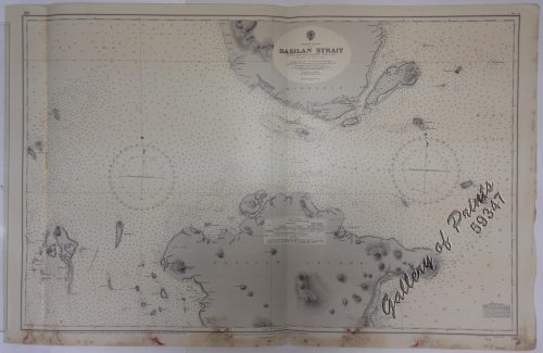
Philippine Islands. Basilan Strait. From the United States Government Charts to 1930. With additions and corrections to 1933.
1 x
₱
11,000.00
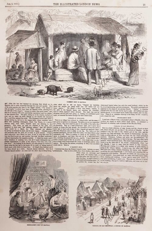
Sketches in Manilla. 1. Barber's shop in Manilla; 2. Shoemaker's Shop in Manilla; 3. Calzada de San Sebastian, a suburb of Manilla
1 x
₱
7,700.00
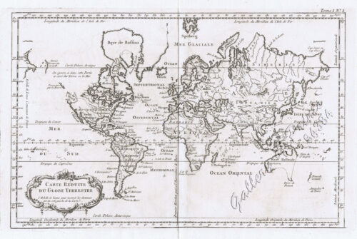
Carte Reduite du Globe Terrestre
1 x
₱
55,900.00
The Mysteries of Taal: A Philippine Volcano and Lake, Her Sea Life and Lost Towns
1 x
₱
900.00
Cadavres des juramentados réunis après l'attaque
1 x
₱
6,600.00
Insulae Philippinae… [inset: Manila]
1 x
₱
1,250,000.00
Sketches in Manilla. 1. A Macadamised Road in Manilla; 2. After Breakfast in Manilla
1 x
₱
11,000.00
[Sailing Boat] Starlined canvas(?) [untitled]
1 x
₱
5,500.00
The Cartography of the East Indian Islands, Insulae Indiae Orientalis.
1 x
₱
6,600.00
Cavite (Islas Filipinas). - La Calle del Arsenal.
1 x
₱
6,600.00
Philippine Islands. Samar and Leyte. San Juanico Strait and Approaches. From the United States Government Surveys to 1935. With Additions and Corrections from the Philippine Gov't. Charts to 1957. inset: 1) Northern Entrance to San Juanico Strait. From the United States Government Surveys of 1925. With Additions and Corrections from the Philippine Gov't. Charts to 1957.
1 x
₱
11,000.00
The Trouble in the Philippines: American Troops Entering San Fernando
1 x
₱
7,700.00
Igorote dance Bontoc P. J.
1 x
₱
3,300.00
Sea Monsters on Medieval and Renaissance Maps
1 x
₱
2,200.00
View Cart
Checkout
Home
About Us
Publications
Shop Online
Framing Services
Exhibits
Picture Hanging System
Contact Us
View cart
“Sea Monsters on Medieval and Renaissance Maps” has been added to your cart.
Sort by
Price
Sort by
Default Order
Sort by
Name
Sort by
Price
Sort by
Date
Sort by
Popularity
Show
30 Products
Show
30 Products
Show
60 Products
Show
90 Products
Vingboons-Atlas
₱
49,500.00
Add to cart
Details
Bikol Annals. A collection of Vignettes of Philippine histor...
₱
44,600.00
Add to cart
Details
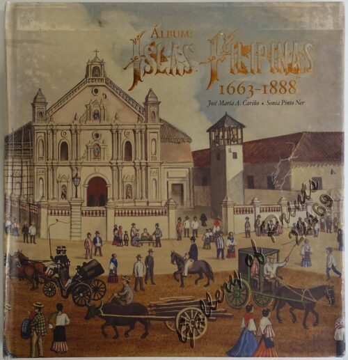
Album: Islas Filipinas 1663-1888
₱
35,400.00
Add to cart
Details
Blue Book of the First Year of the Republic of the Philippin...
₱
24,500.00
Add to cart
Details
Doctrina Christiana: The First Book Printed in the Philippin...
₱
22,000.00
Add to cart
Details
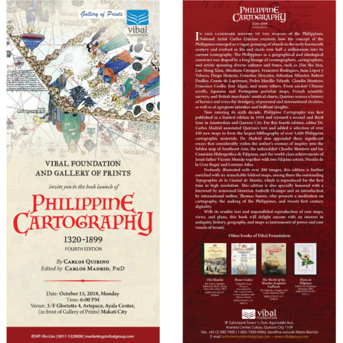
Philippine Cartography
₱
22,000.00
Add to cart
Details
Being Filipino
₱
16,500.00
Add to cart
Details
Planos de ciudades Iberoamericanas y Filipinas existentes en...
₱
15,600.00
Add to cart
Details
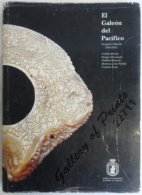
El Galeón del Pacífico Manila Acapulco-Manila 1565-1815
₱
15,000.00
Add to cart
Details
Manila and the Philippines
₱
11,000.00
Add to cart
Details
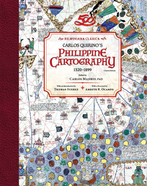
Philippine Cartography 1320-1899
₱
11,000.00
Add to cart
Details
The Chinese in Philippine Life 1850-1898
₱
9,900.00
Add to cart
Details
Old Manila
₱
9,900.00
Add to cart
Details
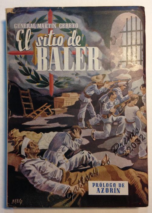
El Sitio de Baler. Prologo de Azorin
₱
9,900.00
Add to cart
Details
Early Mapping of Southeast Asia
₱
9,600.00
Add to cart
Details
In the Shape of Tradition. Indigenous Art of the Northern Ph...
₱
9,500.00
Add to cart
Details
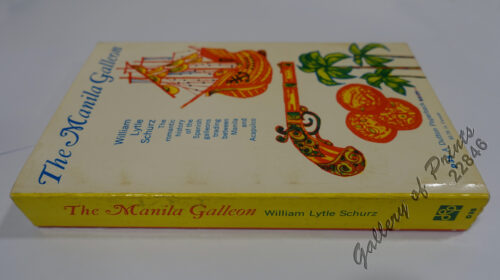
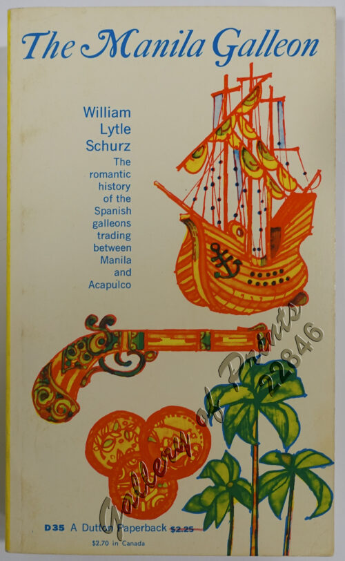
The Manila Galleon
₱
7,700.00
Add to cart
Details
China in Those Days. Insights into Historical China through ...
₱
7,700.00
Add to cart
Details
Iloilo, A Rich and Noble Land
₱
7,500.00
Add to cart
Details
Collecting Old Maps. Revised and Expanded Edition
₱
6,900.00
Add to cart
Details
The Jesuits in the Philippines 1581-1768
₱
6,600.00
Add to cart
Details
The Cartography of the East Indian Islands, Insulae Indiae O...
₱
6,600.00
Add to cart
Details
El Sitio de Manila (1898). Memorias de un voluntario
₱
6,600.00
Add to cart
Details
The Hakluyt Society. The Travels and Controversies of Friar ...
₱
6,600.00
Add to cart
Details
Philippine Cartography
₱
6,600.00
Add to cart
Details
The Age of Trade. The Manila Galleons and the Dawn of the Gl...
₱
5,900.00
Add to cart
Details
Lost at Sea. The strange route of the Lena Shoal junk
₱
5,900.00
Add to cart
Details
Mapping the Philippine Seas
₱
5,900.00
Add to cart
Details
All Over the Map. A Cartographic Odyssey
₱
5,800.00
Add to cart
Details
Mapping the World: Maps and Their History
₱
5,500.00
Add to cart
Details
1
2
3
4
5
Next
Shopping Cart
Sea Monsters on Medieval and Renaissance Maps
1
Igorote dance Bontoc P. J.
1
The Trouble in the Philippines: American Troops Entering San Fernando
1
Philippine Islands. Samar and Leyte. San Juanico Strait and Approaches. From the United States Government Surveys to 1935. With Additions and Corrections from the Philippine Gov't. Charts to 1957. inset: 1) Northern Entrance to San Juanico Strait. From the United States Government Surveys of 1925. With Additions and Corrections from the Philippine Gov't. Charts to 1957.
1
Cavite (Islas Filipinas). - La Calle del Arsenal.
1
The Cartography of the East Indian Islands, Insulae Indiae Orientalis.
1
[Sailing Boat] Starlined canvas(?) [untitled]
1
Sketches in Manilla. 1. A Macadamised Road in Manilla; 2. After Breakfast in Manilla
1
Insulae Philippinae… [inset: Manila]
1
Cadavres des juramentados réunis après l'attaque
1
The Mysteries of Taal: A Philippine Volcano and Lake, Her Sea Life and Lost Towns
1
Carte Reduite du Globe Terrestre
1
Sketches in Manilla. 1. Barber's shop in Manilla; 2. Shoemaker's Shop in Manilla; 3. Calzada de San Sebastian, a suburb of Manilla
1
Philippine Islands. Basilan Strait. From the United States Government Charts to 1930. With additions and corrections to 1933.
1
Luzon Island. inset : Vicinity of Manila
1
[Carte Reduite] Carte Réduite des Isles Philippines Pour Servir Aux Vaisseaux du Roy Dressée au Dépost des Cartes Plans et Journaux de la Marine
1
Die Ostindischen Inseln...
1
Schlacht for Manille [Battle for Manila] ( Oliver van Noort at Manila against Antonio de Morga)
1
Leyte, East Coast, Tacloban Harbor San Pedro and San Pablo Bay
1
The Philippine Journal of Science Vol. 1, No.8 The Non-Christian Tribes of Northern Luzon
1
1. Oriolus Vulneratus (female) [Black-and-crimson Oriole] 2. Prioniturus Cyaneiceps (female) [Blue Racket-Tailed Parakeet]
1
Plans in the Philippine Island. insets: 1) Luzon - North Coast. Aparri. From the Philippine Government Chart of 1954. 2) Bataan I. Basco. From the Philippine Government Chart of 1954. 3) Luzon - West Coast. Santa Cruz. From the Philippine Government Chart of 1952. 4) Bataan I. Balugan Bay. From the Philippine Government Chart of 1953.
1
Carayas ou machines a pecher et Banka de Manille. ["Tarayas" (correctly called "Salambas") or fishing contraptions; and "Banka" from Manila]
1
Cartographia, Mapping Civilizations
1
Anona Muricata. L. [English: Soursop Local Name: Guyabano]
1
Early Maps of South-East Asia
1
Mapa General Atlas Geografico Descriptivo de la Peninsula Ibérica Yslas Baleares, Canarias y posesiones Españolas de Ultramar por el Comandte Capn de Infa auxiliar que ha sido del Deposito de la Guerra D. Emilio Valverde Y Alvarez. [insets]: 1. Islas Filipinas 2. Posesiones Españolas de golfo del Guinea 3. Antillas Españolas 4. Islas Canarias
1
Manilla Woman: Walking Dress.
1
Cart
Checkout
Continue Shopping
28