Tel : +63(2)-7729-8168
|
Email Us : gallery@gop.com.ph
My Account
Remember Me
Register
33 Item(s)
-
₱
597,460.00
Chart of the East India Islands...
1 x
₱
6,600.00
Chart of Zamboanga
1 x
₱
4,400.00
Filipinas. Distrito de Lepanto Description general accompañada de itinerario y croquis del territorio,…
1 x
₱
99,000.00
Early Amercian Cartographies
1 x
₱
5,500.00
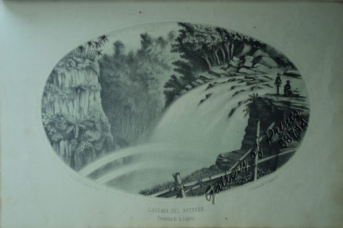
Cascada del Botocan. Provincia de la Laguna. [Botocan Falls]
1 x
₱
49,500.00
Philippine Islands. Western Part of Mindanao Sea with Bohol Strait and Part of Tañon Strait. From the United States Government Charts to 1937.
1 x
₱
11,000.00
Manila (Islas Filipinas). - Una calle de Caloocán.
1 x
₱
3,300.00
Sketches in China. - Hong-Kong Races, 1858. 1. The One-Schilling Stand 2. The Road
1 x
₱
6,600.00
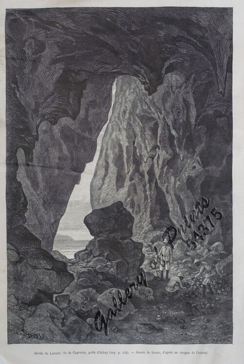
Grotte du Levant; Ile de Cagraray, Golfe d'Albay
1 x
₱
9,900.00
1) Merops Bicolor [Rufous-crowned Bee-eater]; 2) Merops Sumatranus [Blue-throated Bee-eater]
1 x
₱
14,960.00
Annual Reports of the War Department for the Fiscal Year Ended June 30, 1899. Report of the Major-General Commanding the Army. Part 2 [of 3]
1 x
₱
18,700.00
The Philippines in Ancient Chinese Maps
1 x
₱
2,400.00
Girls Bathing
1 x
₱
6,600.00
Marché de Maïbun
1 x
₱
5,500.00
Interior of the Crater of the Volcano at Taal
1 x
₱
8,800.00
The Philipine Isles
1 x
₱
77,000.00
The Bontoc Igorot. The Ethnological Survey Publications vol. 1.
1 x
₱
14,700.00
Discovering America. Journeys in Search of the New World
1 x
₱
4,400.00
Sketches in Manilla. 1. Chinese Chow-chow sellers at Manilla; 2. The Meat Market at Manilla.
1 x
₱
7,700.00
Intérieur d'une case bicole [Interior of a Bicolano House]
1 x
₱
6,600.00
Plan de La Baie de Manille
1 x
₱
39,600.00
Waterfall of the Botocan (Laguna, Luzon)
1 x
₱
5,500.00
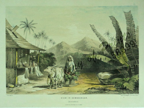
View in Samboangan. (Mindanao)
1 x
₱
17,200.00
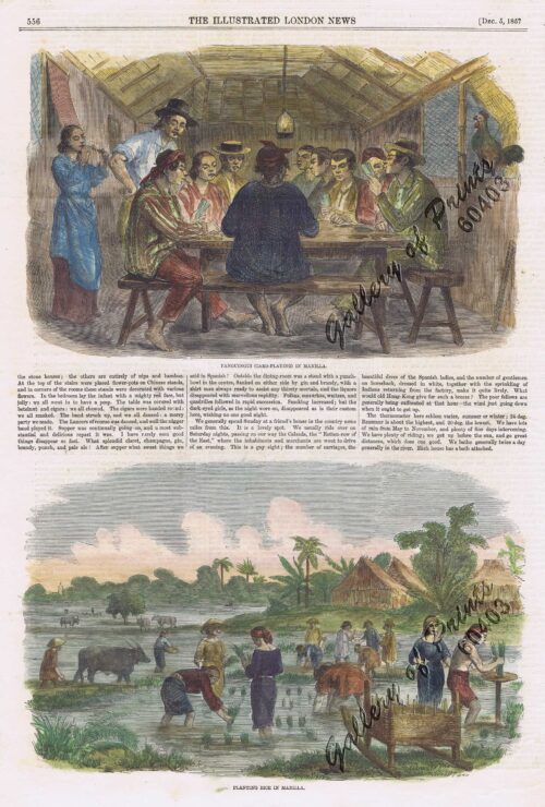
1. Panguingui (Card-playing) in Manilla; 2. Planting Rice in Manilla
1 x
₱
11,000.00
City of Manilla
1 x
₱
4,400.00
The New America and the Far East: Philippines, Japan
1 x
₱
3,300.00
Brachyurus Steerii, ad. et jur. (Steere's Pitta)
1 x
₱
22,000.00
'XIV. Von Schanghai nach Guaham und Puynipet. [Carolinen Archipel].
1 x
₱
3,300.00
Map of the United States showing the Territorial Expansion of a Century 1804 to 1904 insets: 1) The World. 2) Wake Island. 3) Territory of Alaska. 4) Guam Island. 5) Porto Rico. 6) Philippine Islands. 7) Hawaiian Islands. 8) Tutuila, Manua and Smaller Islands of the Samoan Group. 9) Plan of Panama Canal Zone. 10) Plan showing the Thirteen Original States.
1 x
₱
33,100.00
Ñora Goya.
1 x
₱
49,500.00
East India Archipelago [Eastern Passages to China and Japan][Chart No.5] London, Published by James Imray and Son, 89 & 89a Minories, 1898
1 x
₱
36,000.00
El Periodismo Filipino, 1811-1910 The First Century of Philippine Journalism Volume III Aparato Bibliografico de la Historia General de Filipinas
1 x
₱
3,500.00
Mapping the Philippine Seas
1 x
₱
5,900.00
View Cart
Checkout
Home
About Us
Publications
Shop Online
Framing Services
Exhibits
Picture Hanging System
Contact Us
View cart
“Mapping the Philippine Seas” has been added to your cart.
Sort by
Default Order
Sort by
Default Order
Sort by
Name
Sort by
Price
Sort by
Date
Sort by
Popularity
Show
30 Products
Show
30 Products
Show
60 Products
Show
90 Products
Philippine Cartography
₱
6,600.00
Add to cart
Details
The Philippines in the 19th Century (A Collection of Prin...
₱
3,500.00
Add to cart
Details
The Hakluyt Society. The Travels and Controversies of Friar ...
₱
6,600.00
Add to cart
Details
Postcards
₱
990.00
Add to cart
Details
The Charting of the Oceans; Ten Centuries of Maritime Maps
₱
3,700.00
Add to cart
Details
China in Those Days. Insights into Historical China through ...
₱
7,700.00
Add to cart
Details
French Consular Dispatches on the Philippine Revolution.
₱
1,100.00
Add to cart
Details
Collecting Old Maps. Revised and Expanded Edition
₱
6,900.00
Add to cart
Details
Die Chinesen, Japaner und Inder auf den Philippinen [The Chi...
₱
2,500.00
Add to cart
Details
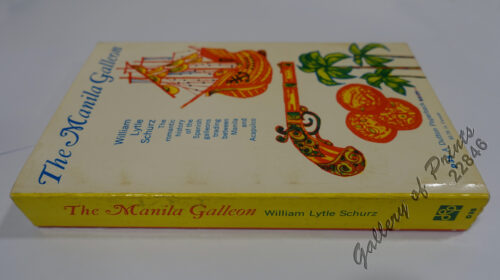
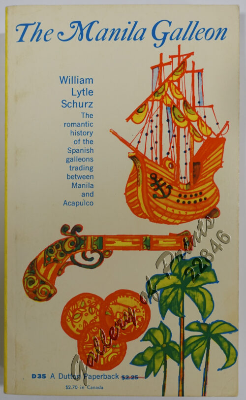
The Manila Galleon
₱
7,700.00
Add to cart
Details
El Sitio de Manila (1898). Memorias de un voluntario
₱
6,600.00
Add to cart
Details
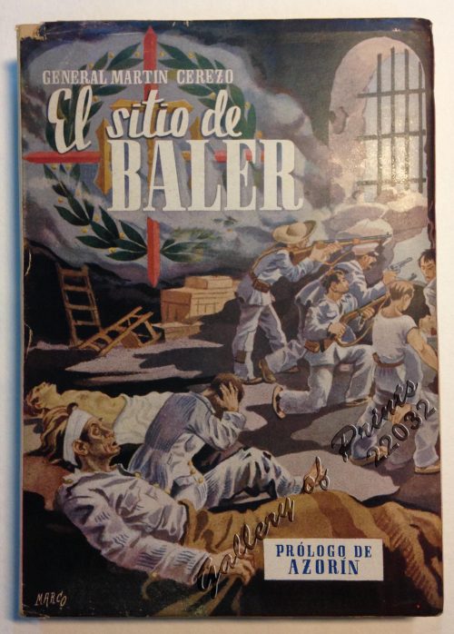
El Sitio de Baler. Prologo de Azorin
₱
9,900.00
Add to cart
Details
Discovering Antique Maps
₱
1,500.00
Add to cart
Details
Documents Illustrating the British Conquest of Manila 1762-1...
₱
3,700.00
Add to cart
Details
Antique Maps – Christie’s Collectors Guide
₱
2,500.00
Add to cart
Details
The First Philippine Republic & the United States. 1898-...
₱
990.00
Add to cart
Details
Brains of the Nation. Pedro Paterno, T.H. Pardo de Tavera, I...
₱
1,200.00
Add to cart
Details
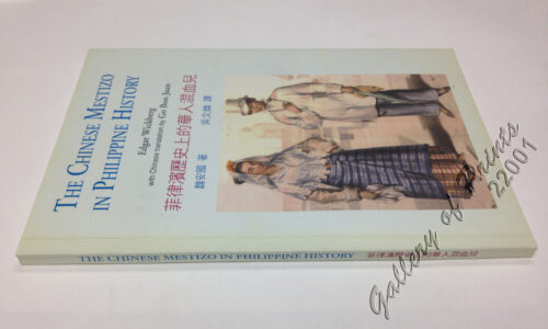
The Chinese Mestizo in Philippine History
₱
3,300.00
Add to cart
Details
The Devil’s Causeway. The True Story of America’...
₱
2,900.00
Add to cart
Details
The Cartography of the East Indian Islands, Insulae Indiae O...
₱
6,600.00
Add to cart
Details
The Philippines in Ancient Chinese Maps
₱
2,400.00
Add to cart
Details
Shipwrecks & Sunken Treasures in Southeast Asia
₱
4,400.00
Add to cart
Details
Nachrichten von den Pelew-Inseln -in der Westgegend des Stil...
₱
2,200.00
Add to cart
Details
In the Shape of Tradition. Indigenous Art of the Northern Ph...
₱
9,500.00
Add to cart
Details
Two Ethnographic Collectors in the Late Spanish Philippines:...
₱
3,300.00
Add to cart
Details
Great Maps. the world’s masterpieces explored and expl...
₱
3,300.00
Add to cart
Details
Early Amercian Cartographies
₱
5,500.00
Add to cart
Details
1
2
3
4
5
Next
Shopping Cart
Mapping the Philippine Seas
-
Quantity
+
El Periodismo Filipino, 1811-1910 The First Century of Philippine Journalism Volume III Aparato Bibliografico de la Historia General de Filipinas
1
East India Archipelago [Eastern Passages to China and Japan][Chart No.5] London, Published by James Imray and Son, 89 & 89a Minories, 1898
1
Ñora Goya.
1
Map of the United States showing the Territorial Expansion of a Century 1804 to 1904 insets: 1) The World. 2) Wake Island. 3) Territory of Alaska. 4) Guam Island. 5) Porto Rico. 6) Philippine Islands. 7) Hawaiian Islands. 8) Tutuila, Manua and Smaller Islands of the Samoan Group. 9) Plan of Panama Canal Zone. 10) Plan showing the Thirteen Original States.
1
'XIV. Von Schanghai nach Guaham und Puynipet. [Carolinen Archipel].
1
Brachyurus Steerii, ad. et jur. (Steere's Pitta)
1
The New America and the Far East: Philippines, Japan
1
City of Manilla
1
1. Panguingui (Card-playing) in Manilla; 2. Planting Rice in Manilla
1
View in Samboangan. (Mindanao)
1
Waterfall of the Botocan (Laguna, Luzon)
1
Plan de La Baie de Manille
1
Intérieur d'une case bicole [Interior of a Bicolano House]
1
Sketches in Manilla. 1. Chinese Chow-chow sellers at Manilla; 2. The Meat Market at Manilla.
1
Discovering America. Journeys in Search of the New World
1
The Bontoc Igorot. The Ethnological Survey Publications vol. 1.
1
The Philipine Isles
1
Interior of the Crater of the Volcano at Taal
1
Marché de Maïbun
1
Girls Bathing
1
The Philippines in Ancient Chinese Maps
1
Annual Reports of the War Department for the Fiscal Year Ended June 30, 1899. Report of the Major-General Commanding the Army. Part 2 [of 3]
1
1) Merops Bicolor [Rufous-crowned Bee-eater]; 2) Merops Sumatranus [Blue-throated Bee-eater]
1
Grotte du Levant; Ile de Cagraray, Golfe d'Albay
1
Sketches in China. - Hong-Kong Races, 1858. 1. The One-Schilling Stand 2. The Road
1
Manila (Islas Filipinas). - Una calle de Caloocán.
1
Philippine Islands. Western Part of Mindanao Sea with Bohol Strait and Part of Tañon Strait. From the United States Government Charts to 1937.
1
Cascada del Botocan. Provincia de la Laguna. [Botocan Falls]
1
Early Amercian Cartographies
1
Filipinas. Distrito de Lepanto Description general accompañada de itinerario y croquis del territorio,…
1
Chart of Zamboanga
1
Chart of the East India Islands...
1
Cart
Checkout
Continue Shopping
33