References:
Bergreen: Over the Edge of the World, Magellan’s Terrifying Circumnavigation of the Globe, 2003.
Koelliker: Kurs der Magellanischen Flotte …[The Route of Magellan’s Fleet…] , 1912
Wionzek: Another Report About Magellan’s Circumnavigation of the World, 2000.
http://vcentenario.es/ – the official Spanish website for the 500 year Anniversary
https://en.wikipedia.org/wiki/Magellan%27s_circumnavigation
Magellan – 500 years Arrival Anniversary –
An Exhibit of Antique Prints and Books.
Ferdinand Magellan fought for Portugal in India and in Malacca from where he brought with him his servant Enrique who is considered by some as the first to circumnavigate the Globe, taking Malacca as the starting point of his “voyage”.
Magellan left the Army after having fought in Morocco and settled in Lisbon with a small “pension” which he adamantly described as a pittance and in an audience with Manuel I. demanded a substantial increase which was refused.
This prompted him to offer his services to the great rival SPAIN, proposing to King Carlos I. to sail westward to the Spice Islands (Moluccas) to initiate a lucrative Spanish Spice Trade. There was no talk about conquest and colonization – no instructions to be a missionary.
“Simply”: beat the Portuguese monopoly of trading spices on the Eastern Route and circumvent the Treaty of Tordesillas.
Magellan – with a typical superiority complex – believed otherwise when he offered his Cebu-host to defeat the Ruler of Mactan LAPULAPU – and paid the ultimate price for obstinance, jeopardizing the entire mission in the process.
Magellan et al actually did not know where he was when he hit our shores that he named the Islas de San Lazaro; they only found out during the course of the first few weeks and months when sailing around and talking to people through Enrique that he was far north of the Spices area and had to sail more southward past a big island (Mindanao)…
Juan Sebastian Elcano – after several others failed – eventually became the new Capitan General who would lead the remaining crew to the Moluccas and ultimately home. 1522 or more than one year after FM’s death, he, Antonio Pigafetta (a Venetian scholar and traveller who kept the only Travel Journal), and 16 others of the original complement of 270+ sailors arrived back in Spain on the “Victoria” (the only ship of the original 5 ) having accomplished what nobody had done before them: The Circumnavigation of the Earth.
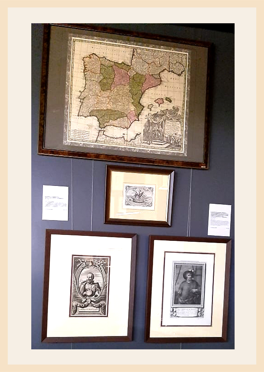
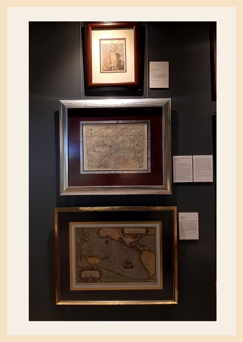
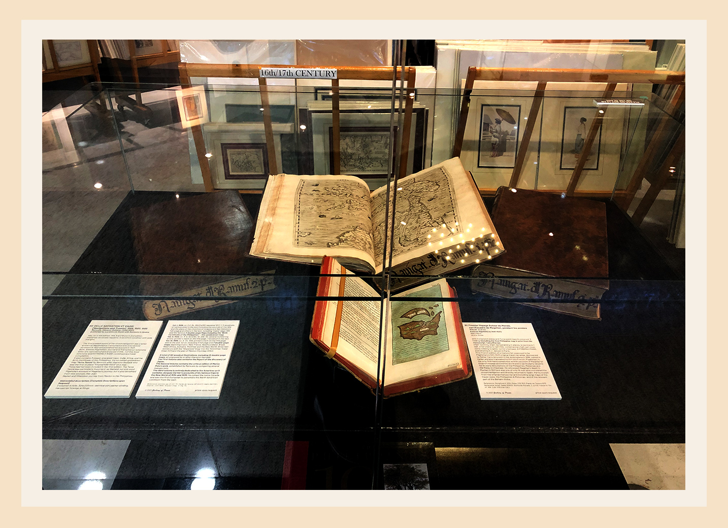
Featured Rarities
The first printed report of the circumnavigation was a letter written
by Maximilianus Transylvanus who interviewed survivors in 1522
and published his account in 1523.
Both, Pigafetta’s Journal and Transylvanus extensive letter
are reproduced and analysed in the most extensive and EXTREMELY RARE
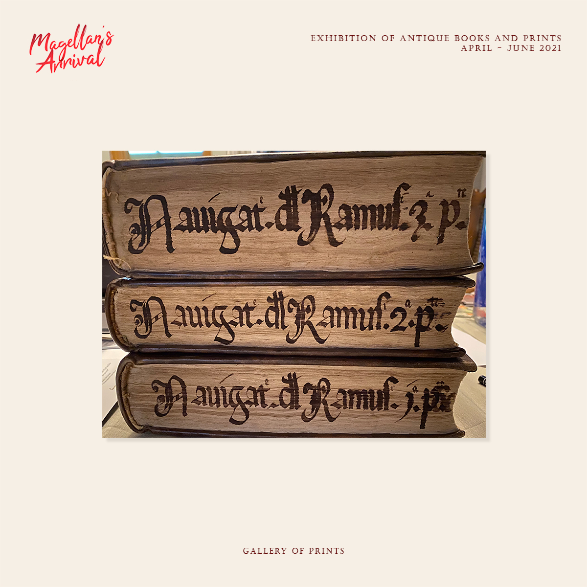
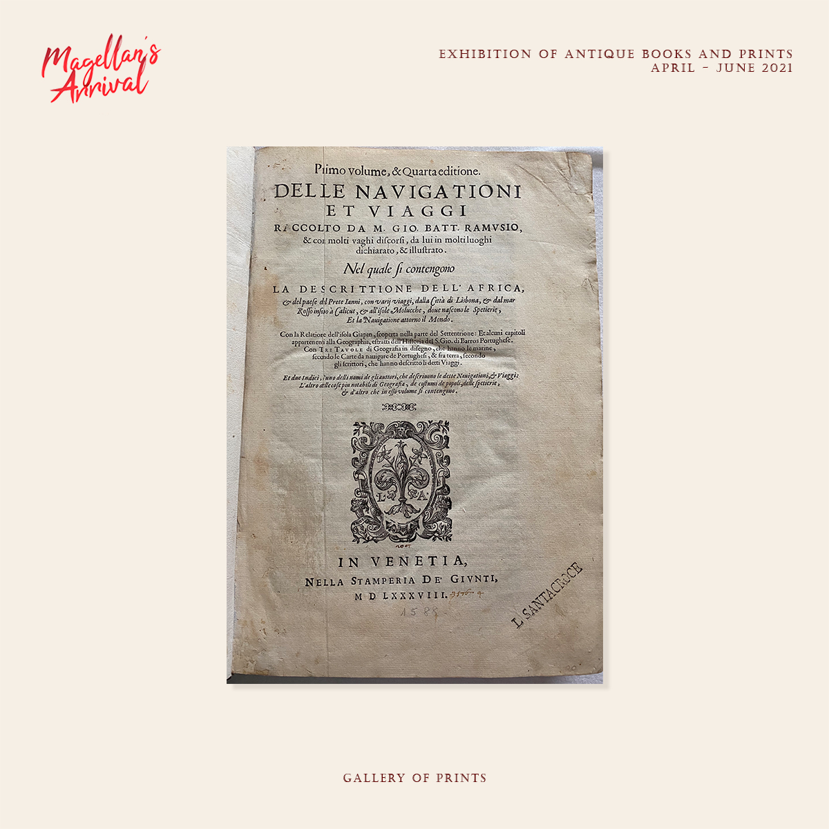
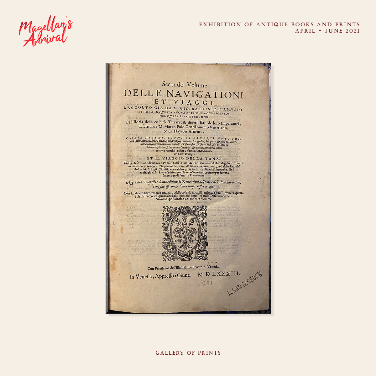
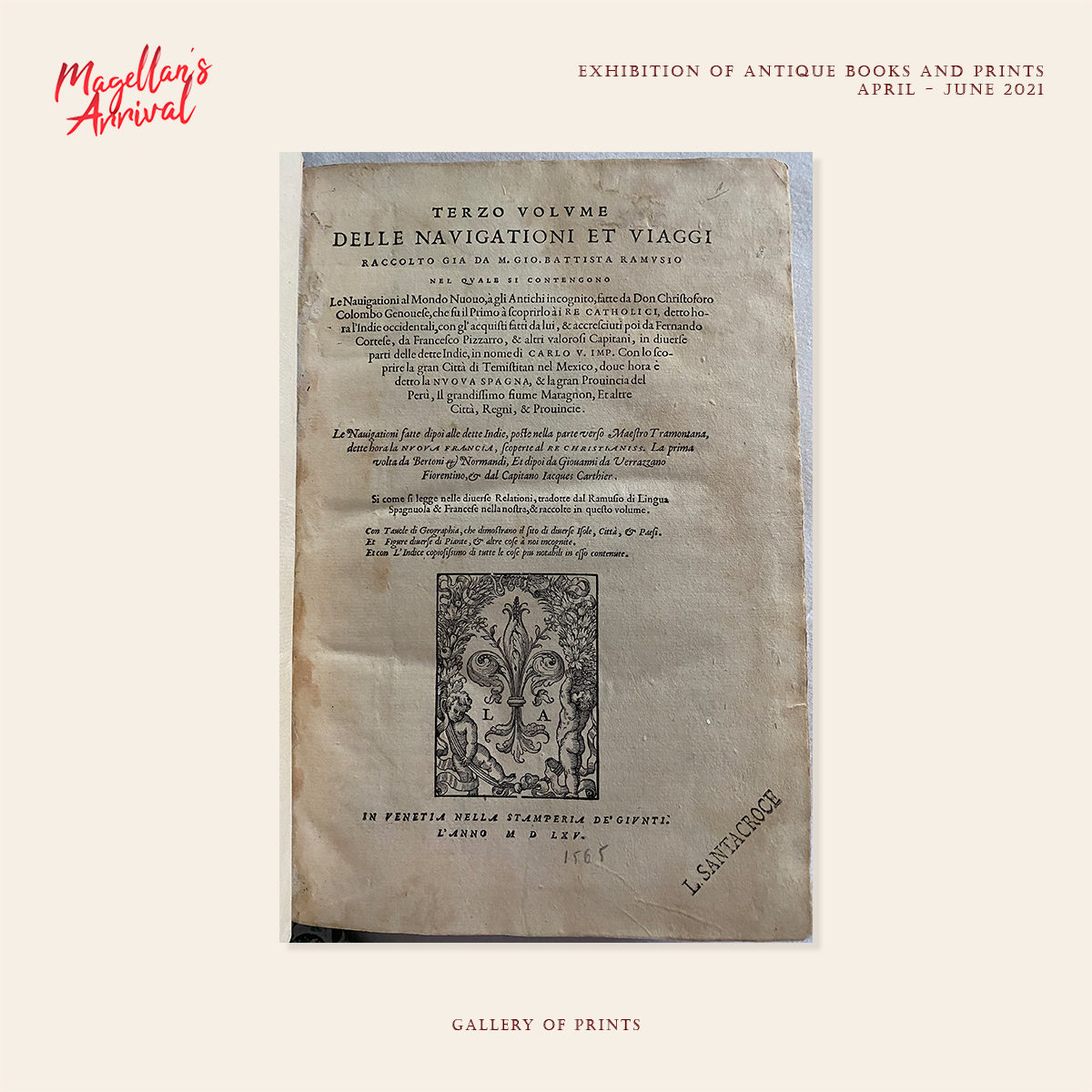
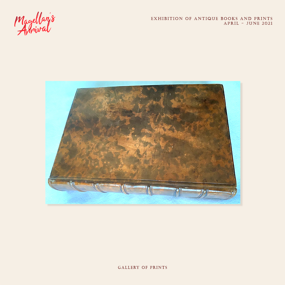
contemporary travel compilation, Giovanni Battista Ramusio’s 3-volume
Delle Navigationi et Viaggi (Navigations and Travels),
published from 1550 onwards
(price upon request).
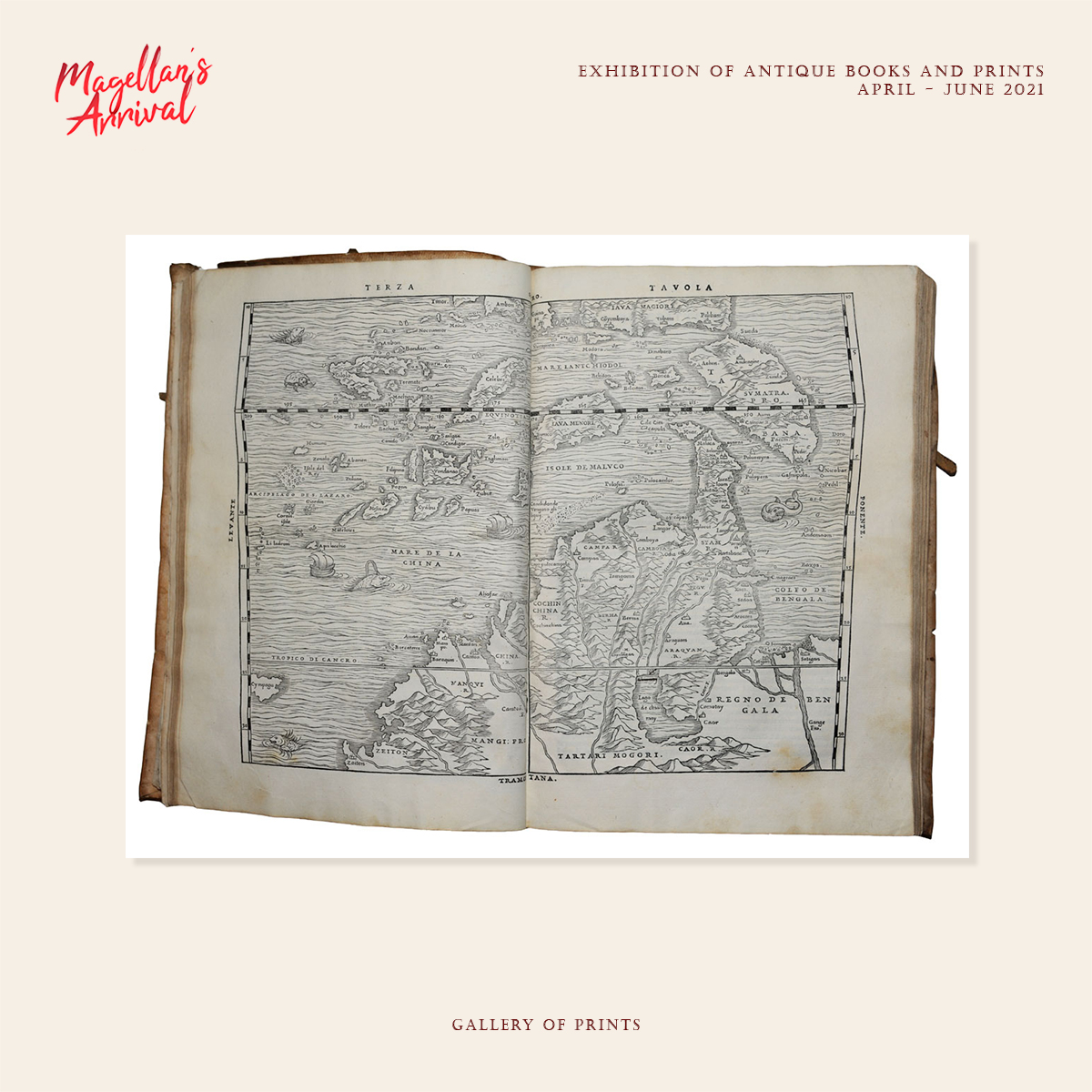
This 3-volume publication contains the
Birth Certificate of the Philippines, the so-called upsidedown map
“Terza Tavola”
by Ramusio after Giacomo Gastaldi.
We also offer the map separately.
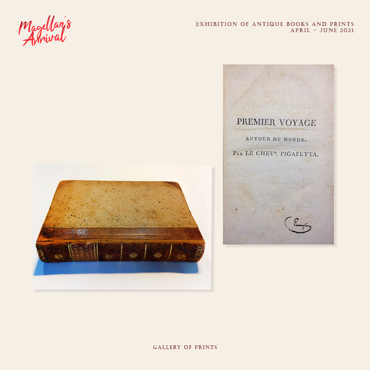
Antonio Pigafetta:
“Relazione del primo viaggio intorno al mondo”,
held in manuscript including translations but appeared in print including
the map drawings only in 1801 – an EXTREMELY RARE volume –
(price upon request).
More Exhibit Items
Aside from these highlights, the Exhibit shows prints and books in relation to Magellan’s exploits, published over several centuries; they can all be viewed in our “brickstore” in Glorietta 4, and under our website links which provide the captions and prices:

Adventurous Armada The Story of Legazpi’s Expedition – 1961
The Image of the World 20 Centuries of World Maps – 1994
Antonio Pigafetta The First Voyage Around the World An Account of Magellan’s Expedition – 1995
The Image of the World. 20 Centuries of World Maps – 1997
Another Report About Magellan’s Circumnavigation of the World. – 2000
Over the Edge of the World Magellan’s Terrifying Circumnavigation of the Globe -2003

[untitled] Terza Tavola [India Orientalis] [plate 3] [untitled] – 1563
Tabula orientalis regionis, Asiae Scilicet extremas complectens terras & regna. – 1550
Die Länder Asie nach ihrer gelegenheit… [The Countries of Asia as Situated till….] – 1580
Asia wie es jetziger Zeit… – 1580
Ladmiral surmonte s’en allant au fond a nostre veúe – 1602
Descripcion de las Indias del Poniente (14) – 1622
Les Isles Philippines – Islas de los Ladrones… – 1652
Ferdinand Magellanus [portrait] – 1671
Fernand Magellan, Portugais [portrait] – 1682
Les Isles Philippines – Islas de los Ladrones… ou Isles des Larrons – 1683
Troisieme Partie de L’Asie ou Partie de la Chine les Isles de Borneo et Philippines – 1720
Hispania ex Archetypo . . . – 1730
Carte de L’Ocean Meridional (Atlantic Ocean) – 1746/7
Carte de la Mer du Sud on Mer Pacifique… Kaart van de Zuyd-Zee of Stille Oceaan… – 1749

