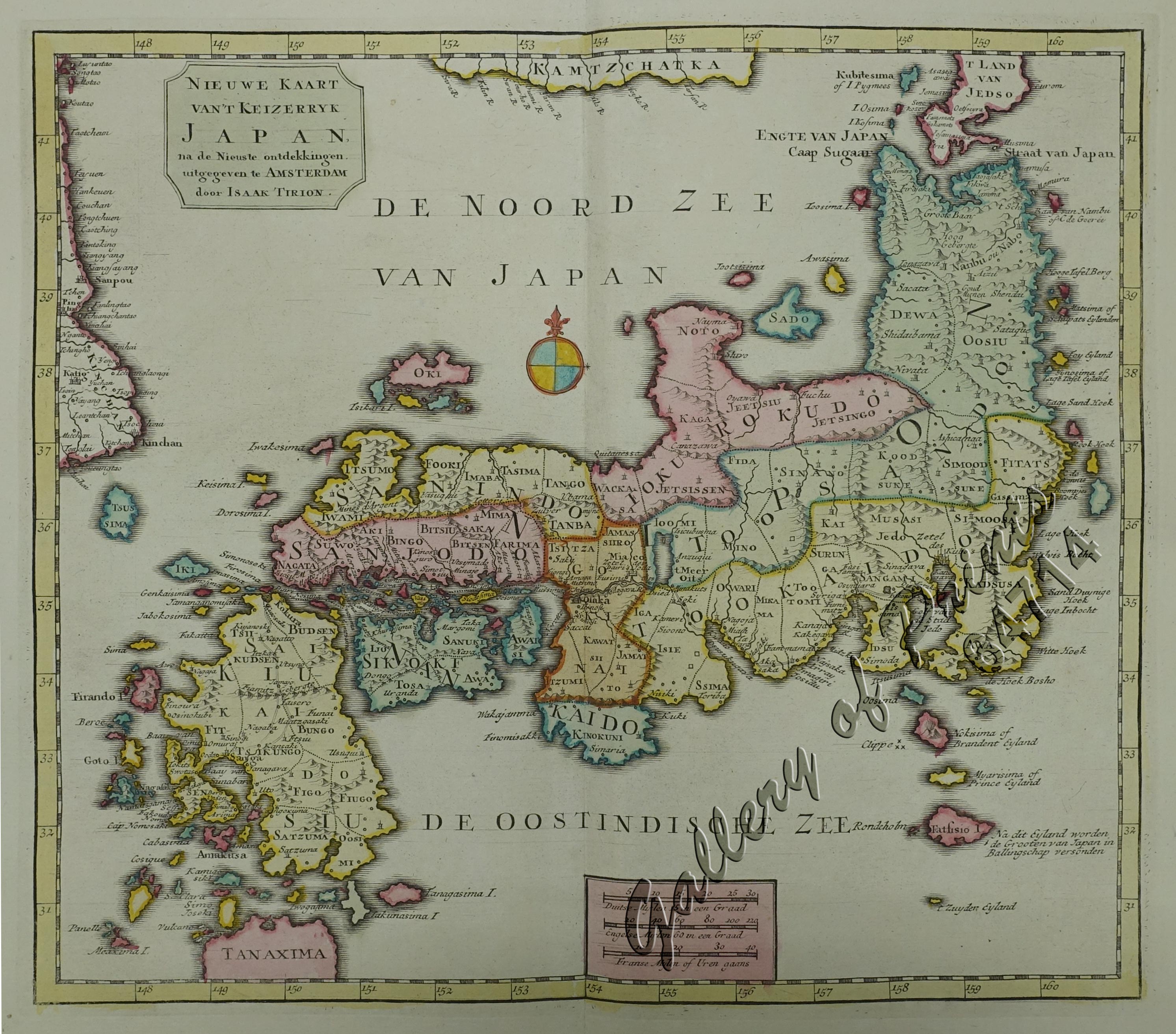
Nieuwe Kaart van’t Keizerryk Japan na de Nieuste ontdekkingen uitgegeven te Amsterdam door Isaak Tirion. [New Map of the Empire of Japan after the New Discoveries published in Amsterdam by Isaak Tirion.]
₱13,200.00
In Stock
In Stock
Description
original hand-colour copper engraving very decorative map of Japan from ‘Nieuwe en beknopte Hand-Atlas, bestaande in eene Verzameling van eenige der algemeenste en noodigste Landkaarten’; [New and Concise Hand Atlas, Consisting of a Collection of some of the most General and Necessary Maps]; published by the Dutch publisher Isaak Tirion (1705-1765) in Amsterdam ca. 1759 (though the printed title reads 1744). His maps are mostly based on Guilaume Delisle – also de L’Isle – (1675-1726), the French cartographer known for his popular and accurate maps of Europe and the New World. Tirion was more of a bookseller and publisher than a geographer or cartographer.
But he must have done very well by the cartographer under his employ as his maps excel in style and exactness.

