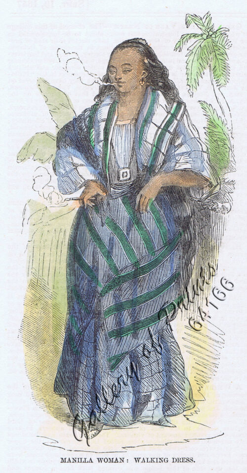
- View cart You cannot add another "Manilla Woman: Walking Dress." to your cart.
View cart “Plans in the Philippine Island. insets: 1) Luzon – North Coast. Aparri. From the Philippine Government Chart of 1954. 2) Bataan I. Basco. From the Philippine Government Chart of 1954. 3) Luzon – West Coast. Santa Cruz. From the Philippine Government Chart of 1952. 4) Bataan I. Balugan Bay. From the Philippine Government Chart of 1953.” has been added to your cart.
View cart “Anchorages of Luzon, Mindoro and Marinduque. insets: 1) Luzon – West Coast. Bolinao Harbour. From the United States Government Survey of 1904. With additions and corrections from Philippine Gov’t. Charts to 1964. 2) Luzon – West Coast. Port Masinloc and Port Matalvi. From the United States Government Surveys of 1937. With additions and corrections from Philippine Gov’t. Charts to 1964. 3) Luzon – West Coast. Mariveles Harbour. From the United States Government Chart of 1940. With additions and corrections from Philippine Gov’t. Charts to 1964. 4) Luzon – South – West Coast. Batangas. From the Philippine Government Chart of 1956. With additions and corrections to 1964. 5) Luzon – South – West Coast. Nasugbu Bay. From the Philippine Government Chart of 1956. 6) Marinduque. Port Balanacan. From the United States Government Survey of 1908. With additions and corrections from Philippine Gov’t. Charts to 1964. 7) Marinduque. Santa Cruz Harbour. From the United States Government Survey of 1908. With additions and corrections from Philippine Gov’t. Charts to 1964. 8) Mindoro – North Coast. Port Galera and Varadero Bay. From the United States Government Surveys to 1939. With additions and corrections from Philippine Gov’t. Charts to 1964.” has been added to your cart.
View cart “Philippine Islands. Western Part of Mindanao Sea with Bohol Strait and Part of Tañon Strait. From the United States Government Charts to 1937.” has been added to your cart.