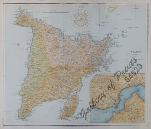
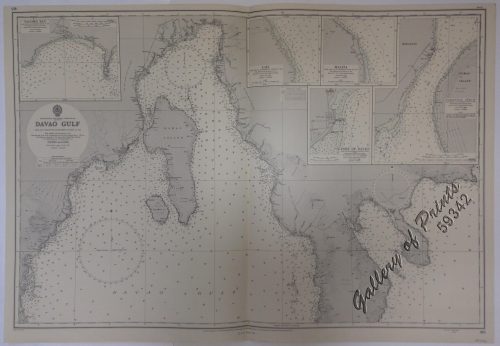
- View cart You cannot add another "Philippine Islands - Mindanao. Davao Gulf. From the Philippine Government Charts to 1956. With additions and corrections to 1962. insets: 1) Talomo Bay. From U.S Government Chart of 1933. With additions and corrections to 1962. 2) Lais. From U.S Government Chart of 1933. With additions and corrections to 1962. 3) Malita. From U.S Government Chart of 1933. With additions and corrections to 1962. 4) Port of Davao. From the Philippine Government Chart of 1956. With additions and corrections to 1962. 5) Pakiputan Strait. From U.S Government Chart of 1933. With additions and corrections to 1962." to your cart.
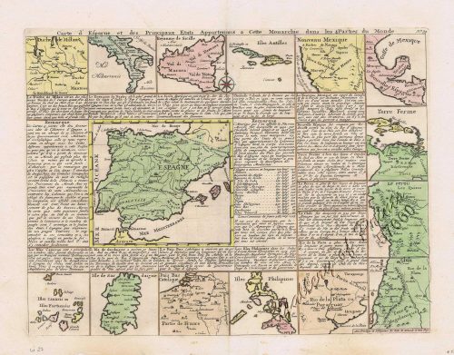
- View cart You cannot add another "Carte d' Espagne et des principaux etats appartments a Cette Monarchie dans les Parties du Monde. 1. Isles Philipines. 2. Duche de Millan. 3. Royaume de Naples. 4. Royaume de Sicille. 5. Isles Antilles. 6. Nouveau Mexique. 7. Nouvelle Espagne. 8. Terre Ferme. 9. Le Perou. 10. Chili. 11. Rio de Plata ou Paraguay. 12. Pais Bas Catolique. 13. Isles de Sardaigne. 14. Isles Canaries ou Isles Fortunees. 15. Espagne." to your cart.
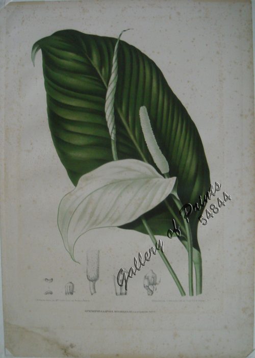
View cart “Spathiphyllopsis Minahassae. T. et B. [Spathiphyllum]” has been added to your cart.
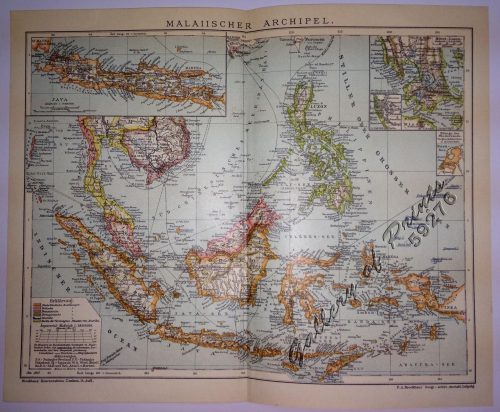
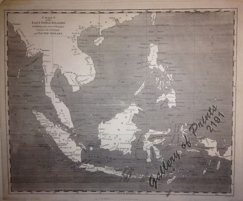
View cart “Malaiischer Archipel. insets: 1. Java, 2. Mittel – Luzon, 3. Manila, 4. Königr. der Niederlande.” has been added to your cart.

