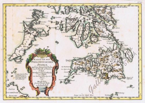
- View cart You cannot add another "Karte von den Philippinischen Inseln 2. Blatt" to your cart.
- View cart You cannot add another "Karte von den Philippinischen Inseln 2. Blatt" to your cart.
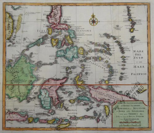
- View cart You cannot add another "Nuova et Accurata Carta dell 'Isole Filippine... Celebes & c." to your cart.
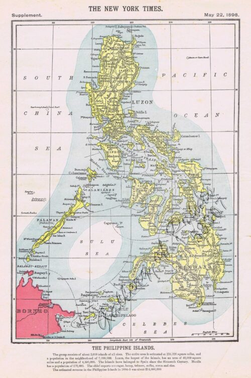
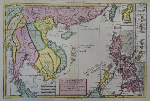
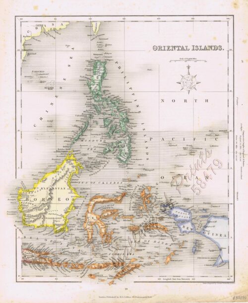
- View cart You cannot add another "The Philippine Islands" to your cart.
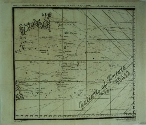
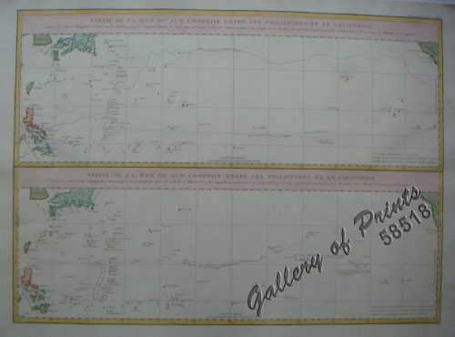
View cart “a) bezeichnet den Lauf der Gallion Nuestra Señora de Cabadongo von Manila nach Acapulco.; b) Lauf der Gallion von Acapulco bis nach Guam, und von da nach den Philippinischen Inseln, wo diese Gallion am 30 Jun. 1743 von dem Ober Befehlshaber Anson erobert ward.” has been added to your cart.
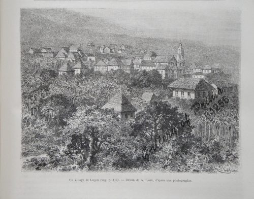
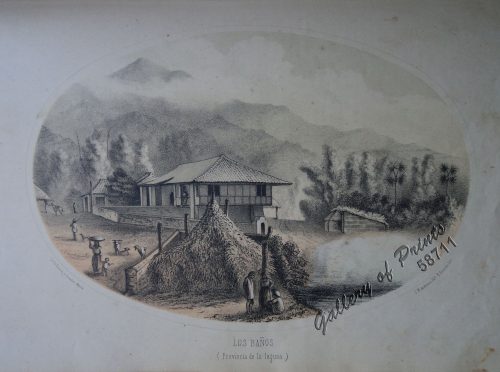
View cart “Un Village de Lucon (voy. p. 114) [Luzon Village] [Naga]” has been added to your cart.
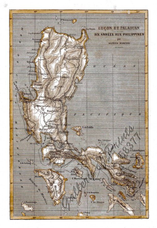
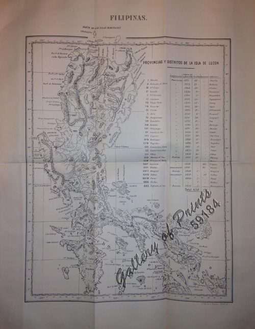
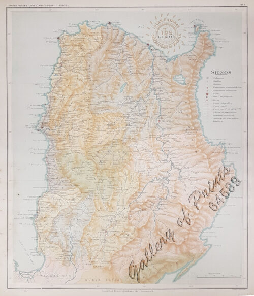
View cart “Lucon et Palaouan [Map of Luzon / Visayas]” has been added to your cart.
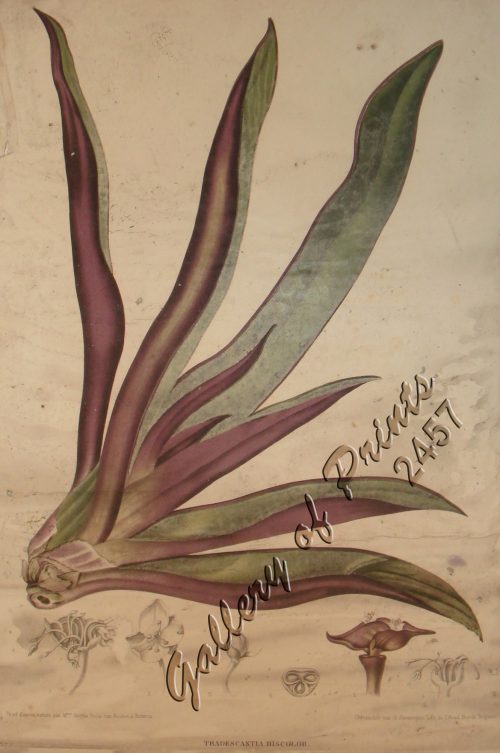
View cart “Tradescantia Discolor. Smith. [Spiderwort, Wandering Jew, (Commelinaceae family)]” has been added to your cart.
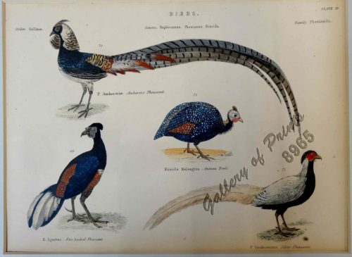
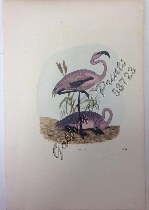
View cart “Birds 69. E. Ignitus. Fire-backed Pheasant 70. P. Amherstiae. Amhewsts Pheasant 71. P. Nycthemerus Silver Pheasant 72. P. Numida Meleagris. -Guinea Fowl” has been added to your cart.
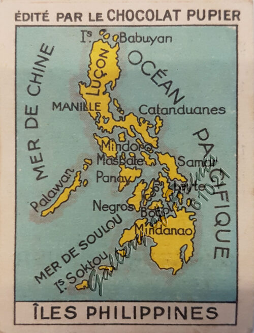
View cart “The Philippine Islands” has been added to your cart.
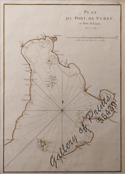
View cart “Plan du Port de Subec, en I’Isle de Lucon [Plan of The Port of Subic on Luzon Island]” has been added to your cart.
View cart “Nuova et Accurata Carta dell ‘Isole Filippine… Celebes & c.” has been added to your cart.
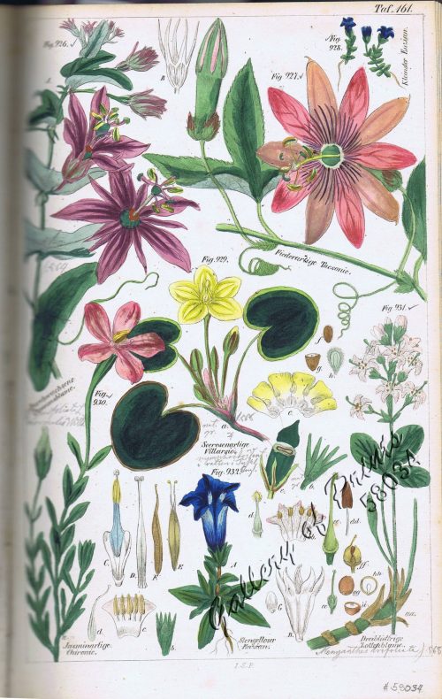
View cart “Durchwachsene Passionblume. Fig. 926. [Marble Passionflower]; Fiederartige Tacsonie. Fig. 927. [Foliage-like Tacsonie]; Kleinster Enzian. Fig. 928. [Smallest Enzian]; Seerosenartige Villarsie. Fig. 929 [Searose-like Villarsie]; Jasminartige Chironie. Fig. 930. [Jasmine-like Chirony]; Dreiblättrige Zottenblume. Fig. 931. [Three-leafed Villi flower]; Stengelloser Enzian. Fig. 932. [Stem-free Enzian]” has been added to your cart.
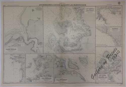
View cart “Anchorages of Luzon, Mindoro and Marinduque. insets: 1) Luzon – West Coast. Bolinao Harbour. From the United States Government Survey of 1904. With additions and corrections from Philippine Gov’t. Charts to 1964. 2) Luzon – West Coast. Port Masinloc and Port Matalvi. From the United States Government Surveys of 1937. With additions and corrections from Philippine Gov’t. Charts to 1964. 3) Luzon – West Coast. Mariveles Harbour. From the United States Government Chart of 1940. With additions and corrections from Philippine Gov’t. Charts to 1964. 4) Luzon – South – West Coast. Batangas. From the Philippine Government Chart of 1956. With additions and corrections to 1964. 5) Luzon – South – West Coast. Nasugbu Bay. From the Philippine Government Chart of 1956. 6) Marinduque. Port Balanacan. From the United States Government Survey of 1908. With additions and corrections from Philippine Gov’t. Charts to 1964. 7) Marinduque. Santa Cruz Harbour. From the United States Government Survey of 1908. With additions and corrections from Philippine Gov’t. Charts to 1964. 8) Mindoro – North Coast. Port Galera and Varadero Bay. From the United States Government Surveys to 1939. With additions and corrections from Philippine Gov’t. Charts to 1964.” has been added to your cart.
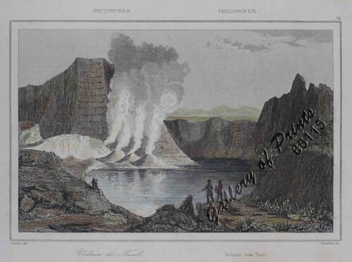
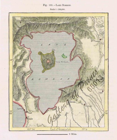
View cart “Philippines – Volcan de Taal Philippinen – Vulcan von Taal” has been added to your cart.

