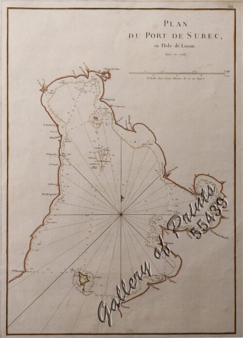
- View cart You cannot add another "Plan du Port de Subec, en I'Isle de Lucon [Plan of The Port of Subic on Luzon Island]" to your cart.
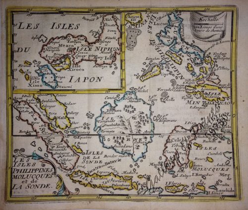
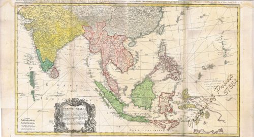
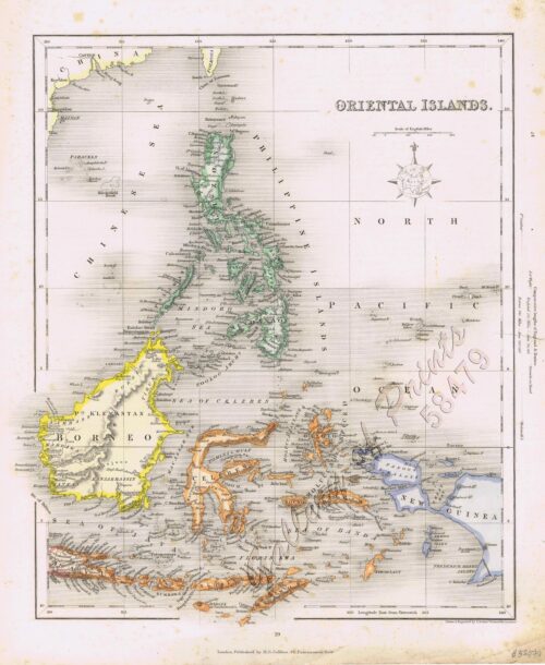
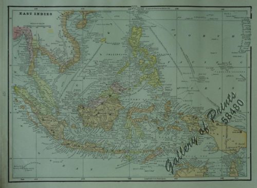
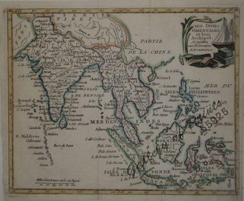
- View cart You cannot add another "East Indies" to your cart.
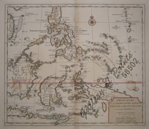
- View cart You cannot add another "Nieuwe Kaart van de Filippynsche, Ladrones, Moluccos of Specery Eilanden, als mede Celebes etc. [New Map of the Philippine, Marianas, Moluccos or Spice Islands, as well as Celebes etc.]" to your cart.
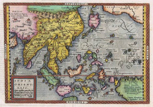
View cart “India Orientalis” has been added to your cart.
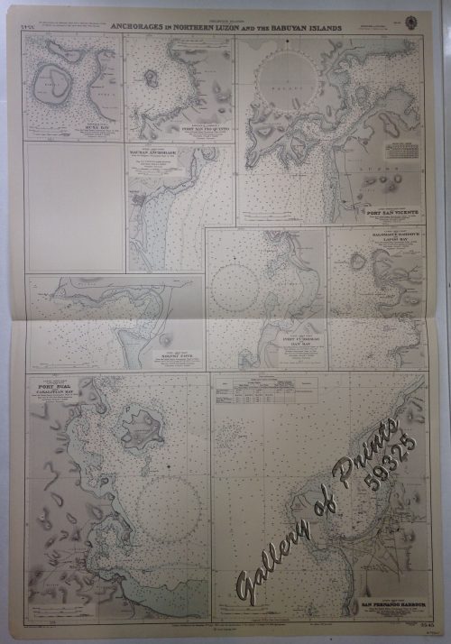
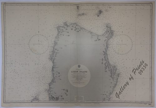
View cart “Philippine Islands. Anchorages in Northern Luzon and the Babuyan Islands. Insets: 1) Babuyan Is. – Fuga I. Musa Bay. From the United States Government Chart to 1931. 2) Babuyan Is. – Camiguin I. Port San Pio Quinto. From the United States Government Chart to 1931. 3) Luzon-North-East Coast Port San Vicente. From the United States Government Chart to 1938. 4) Luzon – East Coast Mauban Anchorage. From the Philippine Government Chart of 1957. 5) Luzon – West Coast. Salomague Harbour and Lapog Bay. From the United States Government Chart of 1934. 6) Luzon – West Coast Port Currimao and Gan Bay. From the United States Government Chart of 1934. 7) Luzon – West Coast Solvec Cove. From the United States Government Chart of 1934. 8) Luzon – West Coast Lingayen Gulf. Port Sual with Cabalitian Bay. From the United States Government Chart of 1922. 9) Luzon – West Coast San Fernando Harbour. From the United States Government Chart of 1936.” has been added to your cart.

