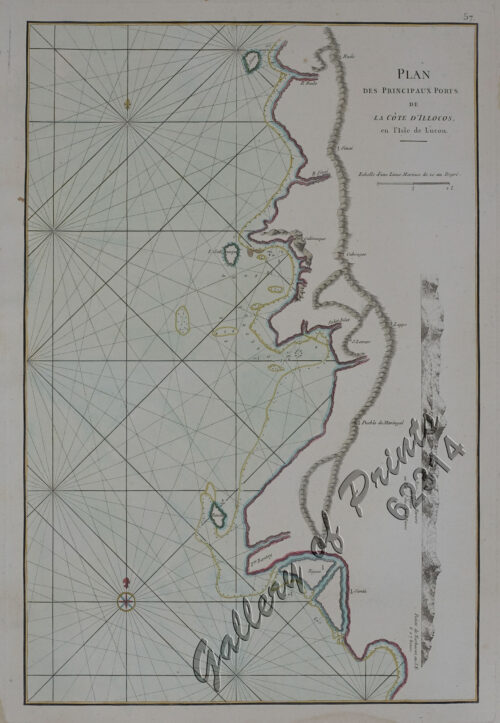
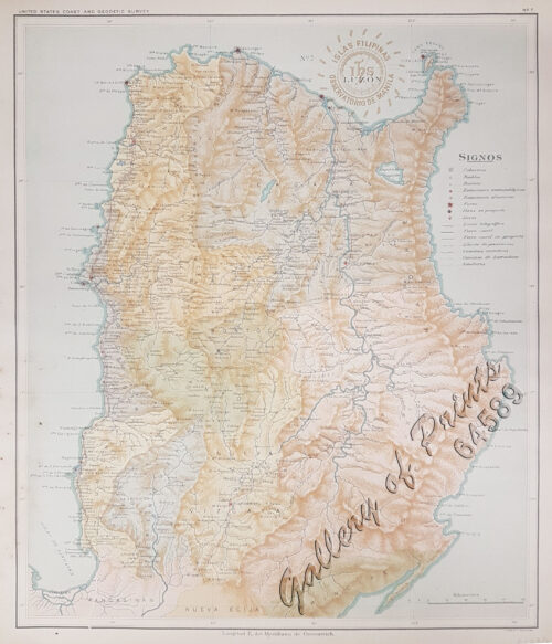
- View cart You cannot add another "Isla de Luzon pl. 7 (Ilocos Norte, Ilocos Sur, La Union, Benguet, Isabela, Nueva Viscaya, Cagayan…)" to your cart.
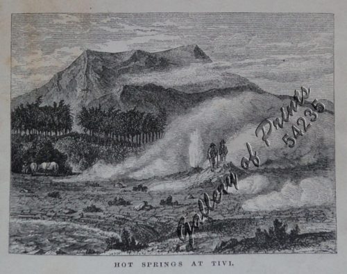
- View cart You cannot add another "Hot Springs at Tivi [Tiwi, Albay]" to your cart.
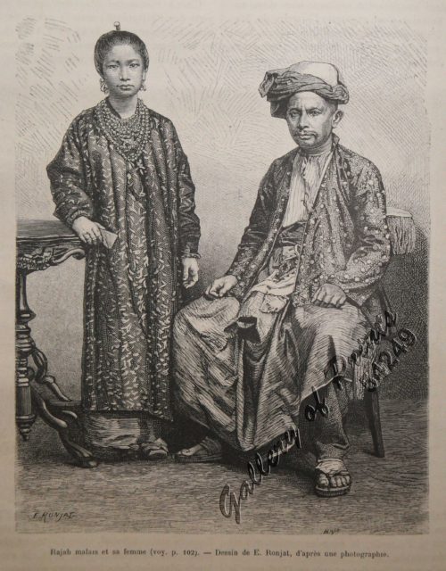
- View cart You cannot add another "Rajah Malais et sa Femme (voy. p. 102) [Malay Rajah and Spouse]" to your cart.
- View cart You cannot add another "Rajah Malais et sa Femme (voy. p. 102) [Malay Rajah and Spouse]" to your cart.
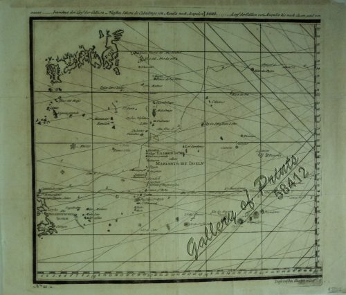
View cart “a) bezeichnet den Lauf der Gallion Nuestra Señora de Cabadongo von Manila nach Acapulco.; b) Lauf der Gallion von Acapulco bis nach Guam, und von da nach den Philippinischen Inseln, wo diese Gallion am 30 Jun. 1743 von dem Ober Befehlshaber Anson erobert ward.” has been added to your cart.
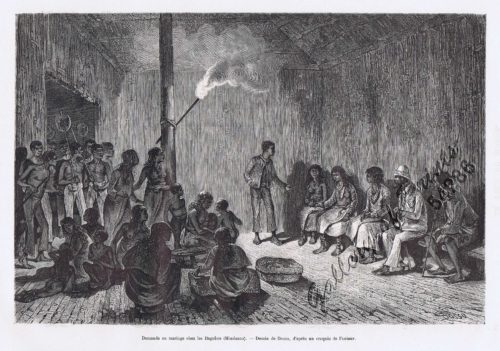
View cart “Demande en mariage chez les Bagobos (Mindanao)” has been added to your cart.
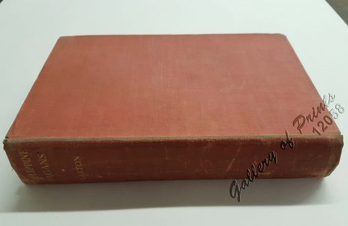
View cart “Philippine Pagans. The Autographies of Three Ifugaos” has been added to your cart.
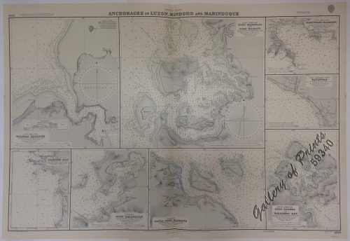
View cart “Anchorages of Luzon, Mindoro and Marinduque. insets: 1) Luzon – West Coast. Bolinao Harbour. From the United States Government Survey of 1904. With additions and corrections from Philippine Gov’t. Charts to 1964. 2) Luzon – West Coast. Port Masinloc and Port Matalvi. From the United States Government Surveys of 1937. With additions and corrections from Philippine Gov’t. Charts to 1964. 3) Luzon – West Coast. Mariveles Harbour. From the United States Government Chart of 1940. With additions and corrections from Philippine Gov’t. Charts to 1964. 4) Luzon – South – West Coast. Batangas. From the Philippine Government Chart of 1956. With additions and corrections to 1964. 5) Luzon – South – West Coast. Nasugbu Bay. From the Philippine Government Chart of 1956. 6) Marinduque. Port Balanacan. From the United States Government Survey of 1908. With additions and corrections from Philippine Gov’t. Charts to 1964. 7) Marinduque. Santa Cruz Harbour. From the United States Government Survey of 1908. With additions and corrections from Philippine Gov’t. Charts to 1964. 8) Mindoro – North Coast. Port Galera and Varadero Bay. From the United States Government Surveys to 1939. With additions and corrections from Philippine Gov’t. Charts to 1964.” has been added to your cart.
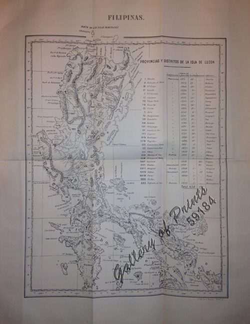
View cart “Filipinas. Provincias y distritos de la isla de Luzon” has been added to your cart.
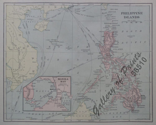
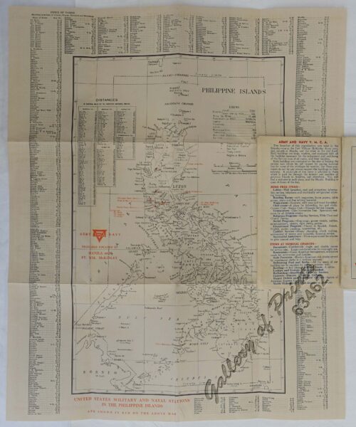
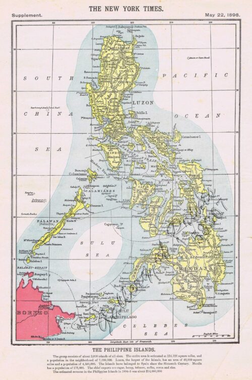
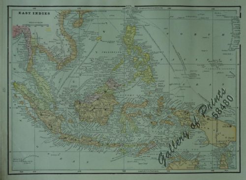
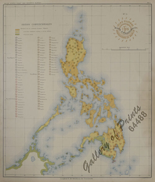
View cart “The Philippine Islands” has been added to your cart.
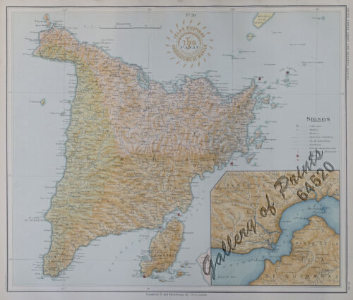
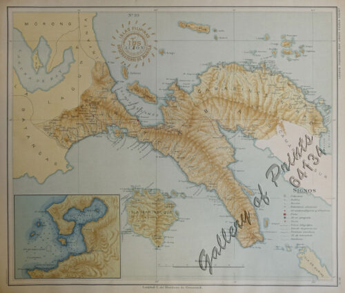
View cart “Isla de Luzon pl. 10, inset: Pto. de Banacalan [Marinduque] (Quezon [or Tayabas], Camarines Norte, Marinduque, Balegin [Balesin], Calbalete [Cagbalete]… )” has been added to your cart.
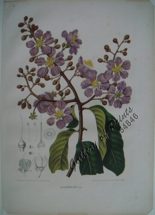
View cart “Lagerstroemia Regia. Roxb. [Tagalog: Banaba Tree]” has been added to your cart.
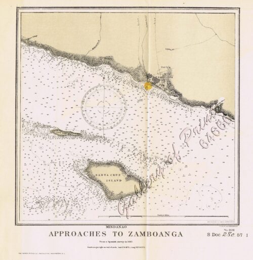
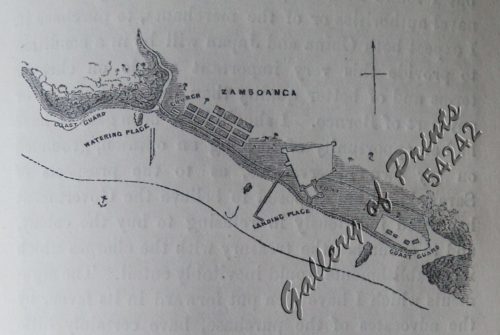
View cart “Chart of Zamboanga” has been added to your cart.
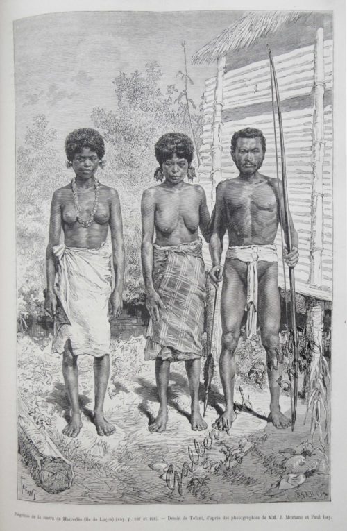
View cart “Négritos de la sierra de Marivelès (île de Luçon) (voy. p. 107 et 108)” has been added to your cart.
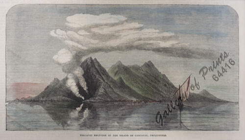
View cart “Volcanic Eruption in the Island of Camiguin, Philippines.” has been added to your cart.
View cart “Islas de Infanta y Polillo pl. 12 [Quezon Prov., Polilio Is., Pananongan I., Jomalig I.]” has been added to your cart.
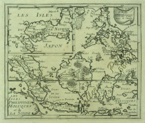
View cart “Les Isles Philippines Molucques et de La Sonde Les Isles du Iapon” has been added to your cart.

