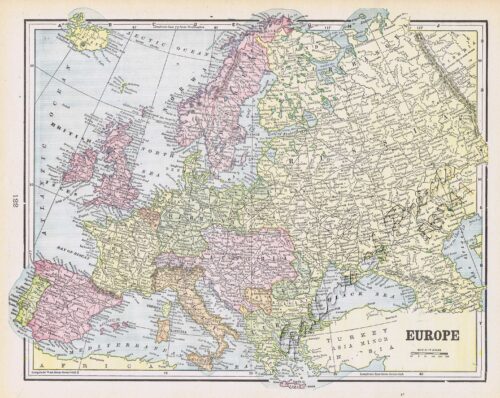
- View cart You cannot add another "Europe" to your cart.
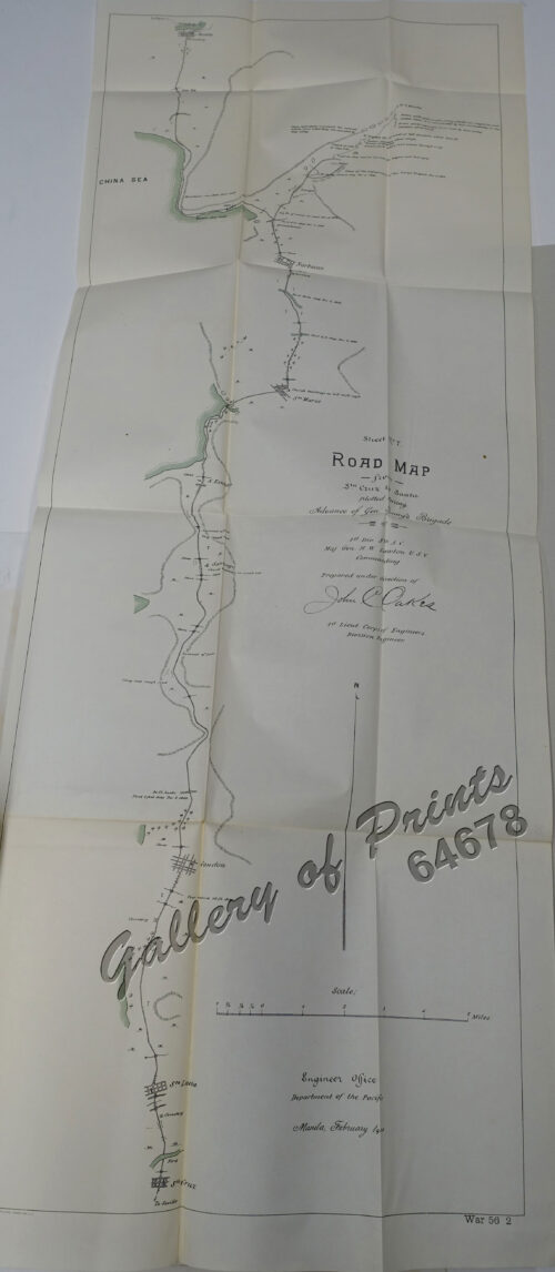
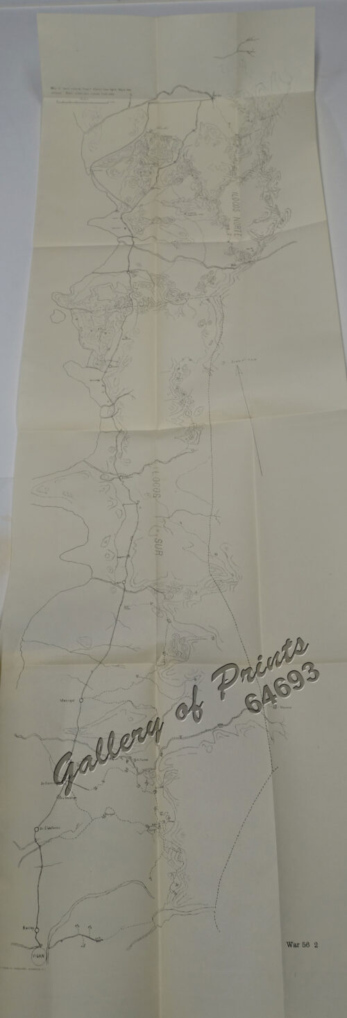
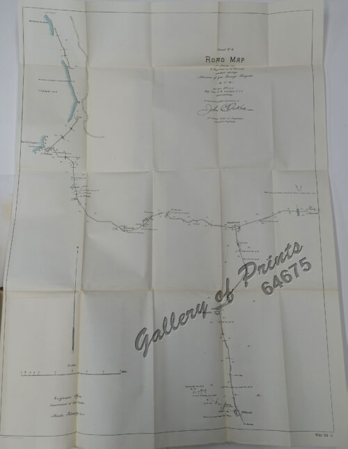
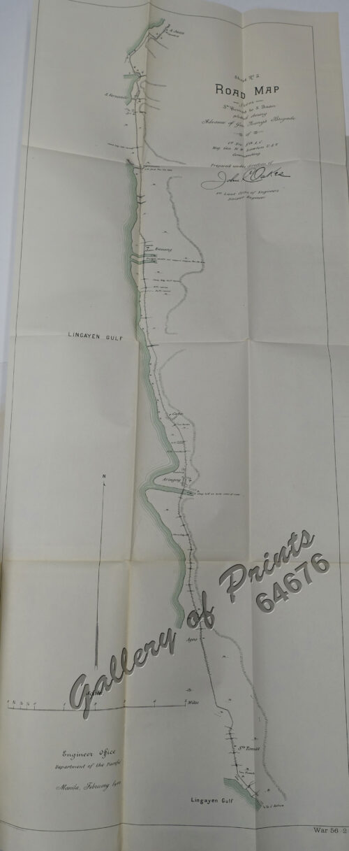
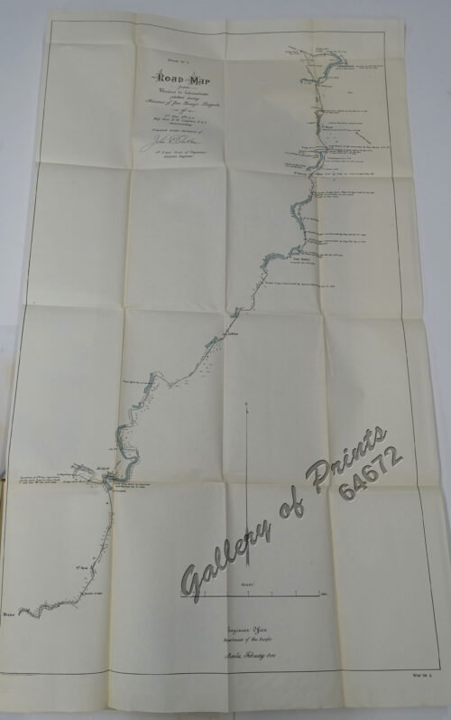
- View cart You cannot add another "Sheet No. 7. Road Map from Sta. Cruz to Santa plotted during Advance of Gen. Young's Brigade of 1st Div. 8th A. C. Maj. Gen. H. W. Lawton U. S. V. Commanding. Prepared under direction of John C. Oakes. 1st Lieut Corps of Engineers Division Engineer." to your cart.
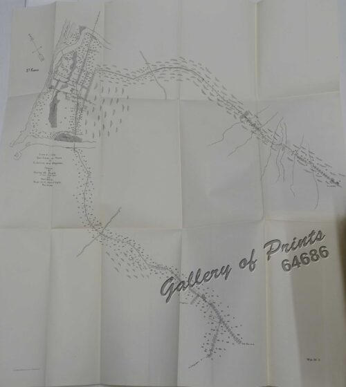
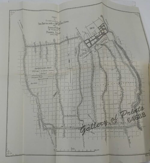
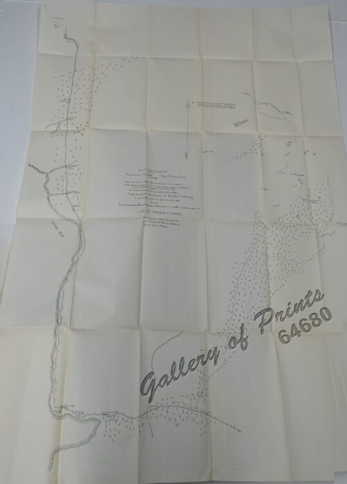
- View cart You cannot add another "Map of Scene of Action of Two Battalions of 28th U.S.V. Inf., 2Guns, and Scouts 4th U.S. Inf. in Vicinity of Puente Julian Jan. 7, 1900" to your cart.
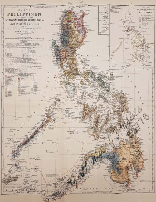
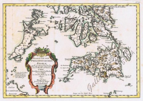
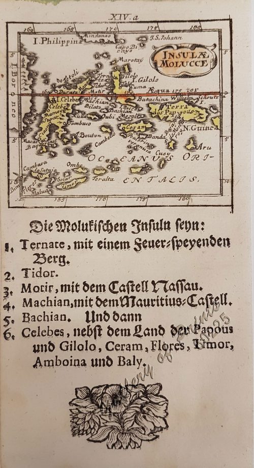
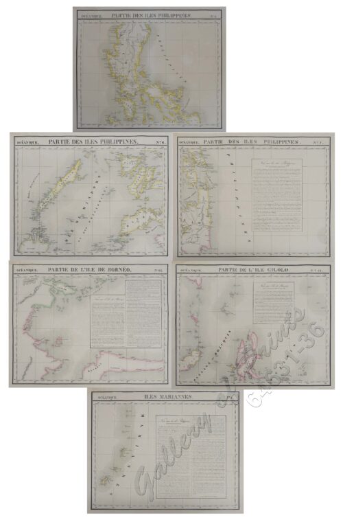
- View cart You cannot add another "Karte von den Philippinischen Inseln 2. Blatt" to your cart.
View cart “San Fabian and Roads to S. Jacinto and Magaldan. Sketch by Horton W. Stickle 2nd Lieut. Corps Engrs. and Paul Bollot, Sergt, Co. A, Batt. Of Engr’s Nov. 18, 1899.” has been added to your cart.
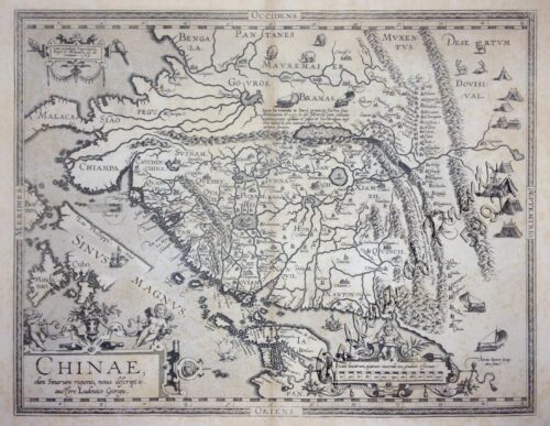
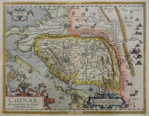
View cart “Chinae, olim Sinarum Regionis, nova descriptio. Auctore Ludovico Georgio. pl. 93” has been added to your cart.
View cart “Sheet No. 7. Road Map from Sta. Cruz to Santa plotted during Advance of Gen. Young’s Brigade of 1st Div. 8th A. C. Maj. Gen. H. W. Lawton U. S. V. Commanding. Prepared under direction of John C. Oakes. 1st Lieut Corps of Engineers Division Engineer.” has been added to your cart.
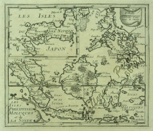
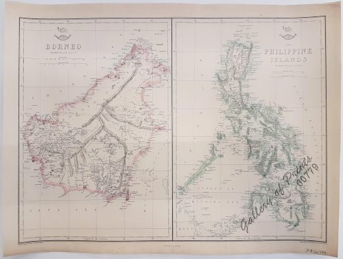
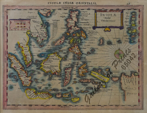
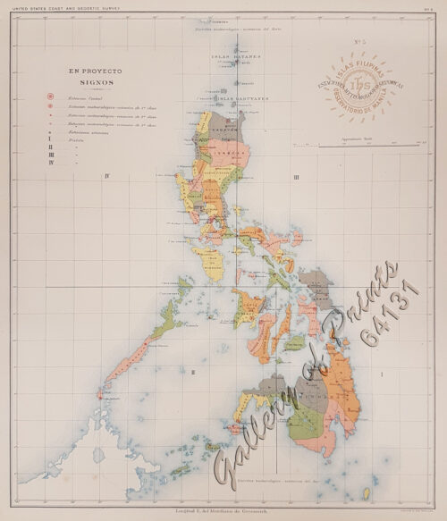
View cart “1. Borneo. 2. The Philippine Islands.” has been added to your cart.
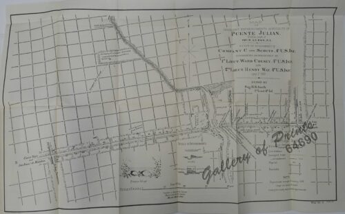
View cart “Map of Insurgent Entrenchments in Vicinity of Puente Julian. 1.2 miles south of Imus. Luzon, P.I. Scene of Engagement of Company C and Scouts, 4th U.S. Inf. commanded, respectively by 1st Lieut. Ward Cheney, 4th U.S. Inf. and 2nd Lieut. Henry Way, 4th U.S. Inf. Jan. 7, 1900” has been added to your cart.
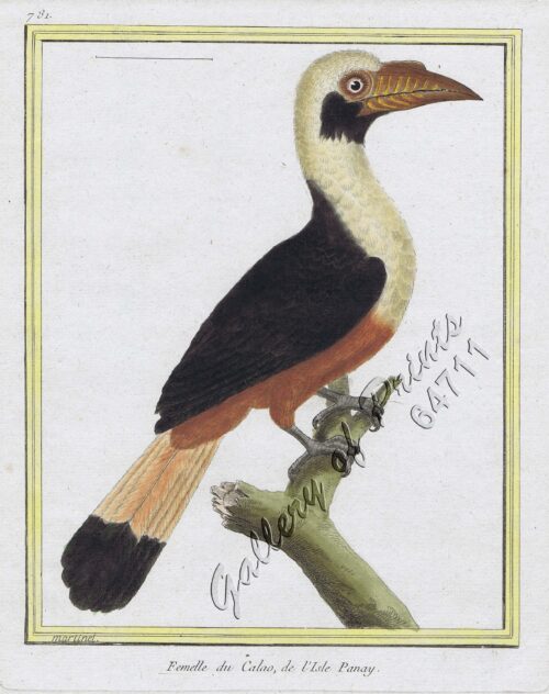
View cart “Femelle du Calao, de I’Isle Panay [Visayan Tarictic Hornbill (Female)]” has been added to your cart.
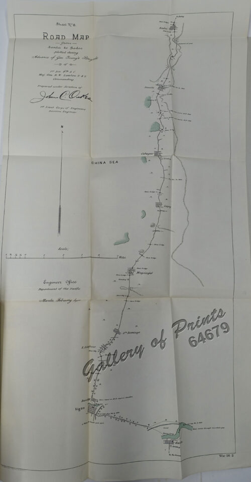
View cart “Sheet No. 8. Road Map from Santa to Badoc plotted during Advance of Gen. Young’s Brigade of 1st Div. 8th A. C. Maj. Gen. H. W. Lawton U. S. V. Commanding. Prepared under direction of John C. Oakes. 1st Lieut Corps of Engineers Division Engineer.” has been added to your cart.
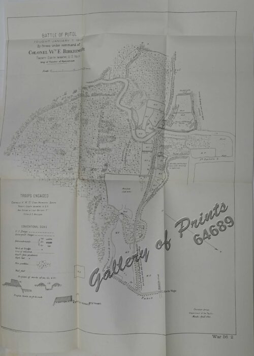
View cart “Battle of Putol fought January 7, 1900 By forces under command of Colonel Wm E. Birkhimer Twenty-Eight Infantry, U. S. Vols. Map of Theater of Operations.” has been added to your cart.
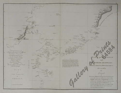
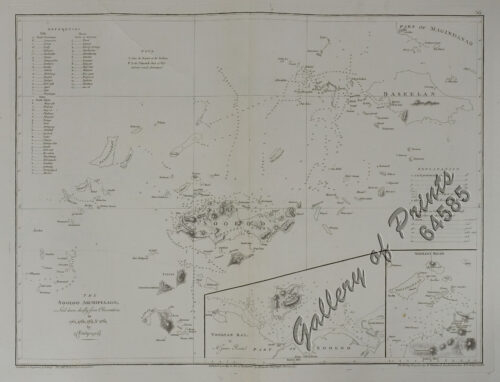
View cart “The Sooloo Archipelago Laid down chiefly from Observations in 1761, 1762, 1763, & 1764 [insets]: 1) Toolyan Bay, by Mr. James Rennel. 2) Sooloo Road” has been added to your cart.
View cart “Karte von den Philippinischen Inseln 2. Blatt” has been added to your cart.
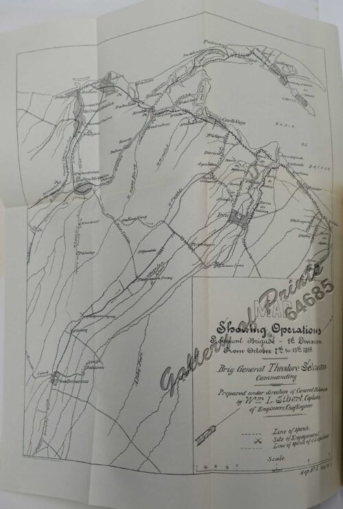
View cart “Map Showing Operations Provisional Brigade – 1st Division from October 7th to 15th 1899. Brig. General Theodore Schwan commanding. Prepared under direction of General Schwan by Wm L. Sibert, Captain of Engineers, Chief Engineer.” has been added to your cart.
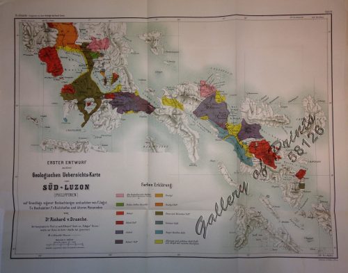
View cart “Erster Entwurf zu einer Geologischen Uebersichts-Karte von Süd-Luzon [Initial Draft for a Geological Map of Southern Luzon]” has been added to your cart.
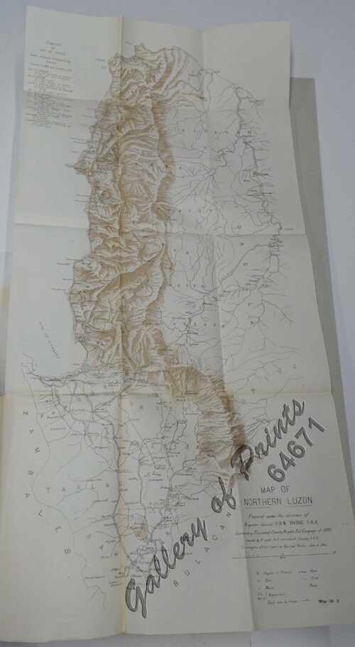
View cart “Map of Northern Luzon Prepared under the direction of Brigadier General S.B.M. Young. U.S.A. Commanding Provisional Cavalry Brigade, Fall Campaign of 1899.” has been added to your cart.
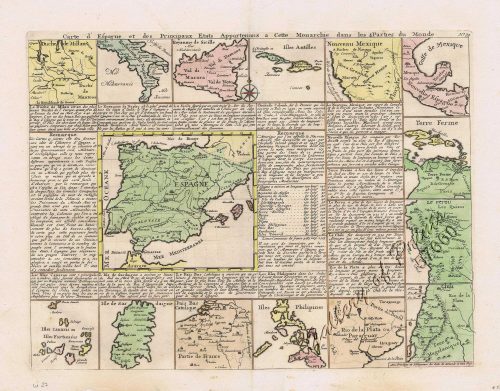
View cart “Carte d’ Espagne et des principaux etats appartments a Cette Monarchie dans les Parties du Monde. 1. Isles Philipines. 2. Duche de Millan. 3. Royaume de Naples. 4. Royaume de Sicille. 5. Isles Antilles. 6. Nouveau Mexique. 7. Nouvelle Espagne. 8. Terre Ferme. 9. Le Perou. 10. Chili. 11. Rio de Plata ou Paraguay. 12. Pais Bas Catolique. 13. Isles de Sardaigne. 14. Isles Canaries ou Isles Fortunees. 15. Espagne.” has been added to your cart.
View cart “A Mar of part of Borneo & The Sooloo [sic] Archipelago: Laid down chiefly from Observations made in 1761, 2, 3, and 4.” has been added to your cart.
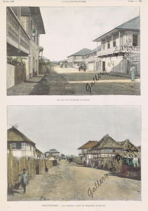
View cart “1) La rue de l’Arsenal, à Cavite. 2) Le chemin royal Nagsubu à Cavite [Royal Road…]” has been added to your cart.

