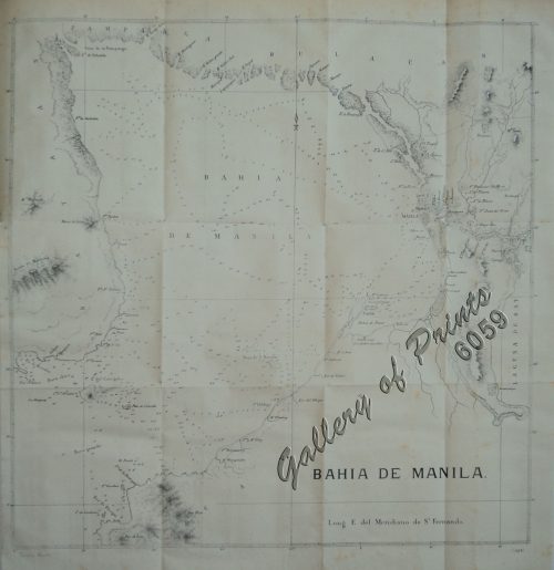
- View cart You cannot add another "Bahia de Manila" to your cart.
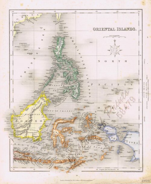
- View cart You cannot add another "Oriental Islands." to your cart.
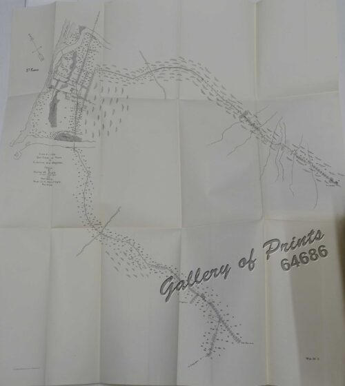
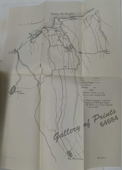
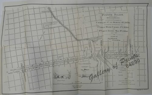
- View cart You cannot add another "Map of Insurgent Entrenchments in Vicinity of Puente Julian. 1.2 miles south of Imus. Luzon, P.I. Scene of Engagement of Company C and Scouts, 4th U.S. Inf. commanded, respectively by 1st Lieut. Ward Cheney, 4th U.S. Inf. and 2nd Lieut. Henry Way, 4th U.S. Inf. Jan. 7, 1900" to your cart.
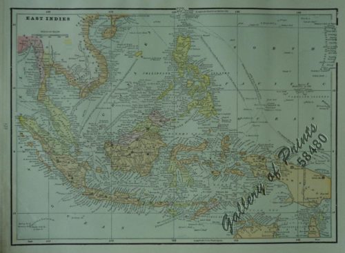
- View cart You cannot add another "East Indies" to your cart.
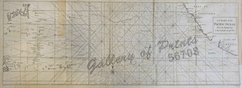
- View cart You cannot add another "Map of the Pacific Ocean" to your cart.
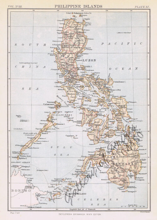
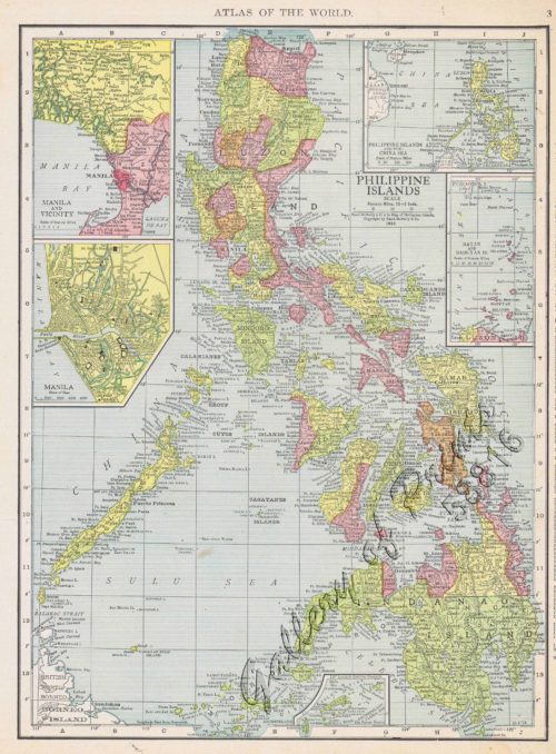
- View cart You cannot add another "Philippine Islands with insets: '1. Manila and Vicinity, 2. Manila, 3. Philippine Islands and the China Sea, 4. Batan and Babuyan Is., 5. Sulu Archipelago" to your cart.
- View cart You cannot add another "East Indies from the Best Authorities" to your cart.
View cart “East Indies” has been added to your cart.
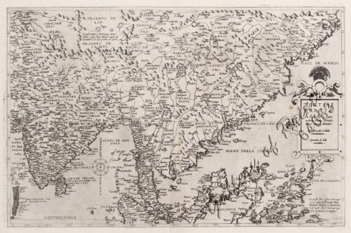
View cart “Tertiae Partis Asiae…India orientalis…” has been added to your cart.
View cart “Oriental Islands.” has been added to your cart.
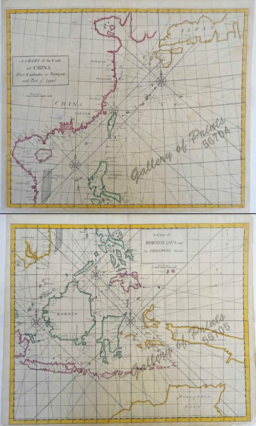
View cart “A Chart of the Coast of China from Cambodia to Nanquam with part of Japan.” has been added to your cart.
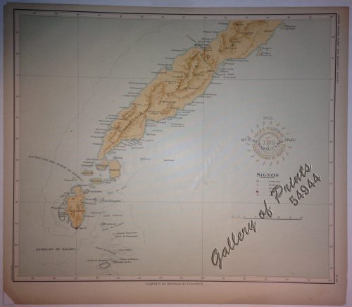
View cart “Isla de Paragua o Palawan Sur pl. 25 (Southern Palawan)” has been added to your cart.
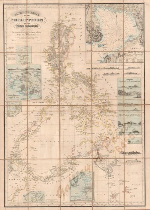
View cart “Reduzirte Karte von den Philippinen und den Sulu Inseln [Reduced Map of the Philippines and the Sulu Islands] {insets:}. inset 1: Plan von der Bucht von Manila [Plan of Manila Bay]. inset 2: Islas Batanes. inset 3: Die Nordseite des Mindoro Kan. mit dem Volcan de Taal [Northern Mindoro Channel with Taal Volcano]. inset 4: Sulu-Gebiet an der NW-Küste von Borneo [Sulu-Area near the NW-Coast of Borneo]. inset 5: Südlicher Theil der Sûlûschen Borneo-Küste [Southern Sulu near Borneo Coast]. inset 6: Plan von der Bongobucht [Plan of Bongo Bay].” has been added to your cart.
View cart “Map of Insurgent Entrenchments in Vicinity of Puente Julian. 1.2 miles south of Imus. Luzon, P.I. Scene of Engagement of Company C and Scouts, 4th U.S. Inf. commanded, respectively by 1st Lieut. Ward Cheney, 4th U.S. Inf. and 2nd Lieut. Henry Way, 4th U.S. Inf. Jan. 7, 1900” has been added to your cart.
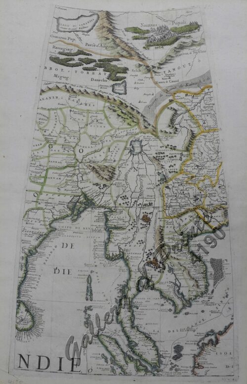
View cart “Indie Orientale [Indochina] [China, Korea, Philippines] [Japan, Guam, Pacific]” has been added to your cart.
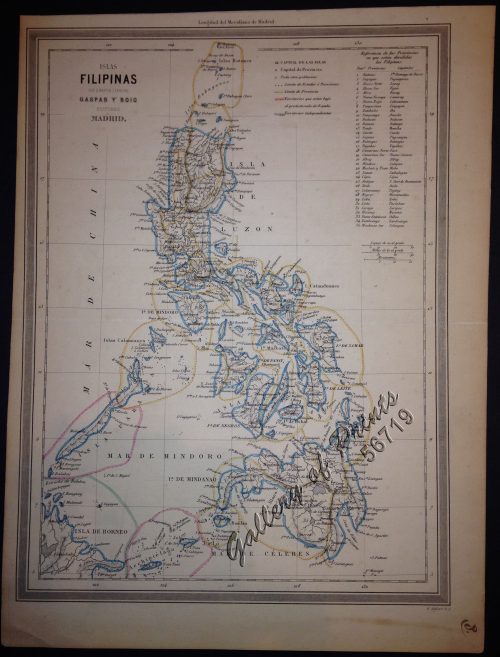
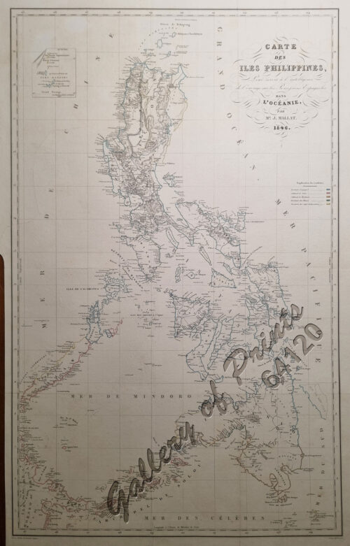
View cart “Islas Filipinas” has been added to your cart.
View cart “Bahia de Manila” has been added to your cart.
View cart “Philippine Islands with insets: ‘1. Manila and Vicinity, 2. Manila, 3. Philippine Islands and the China Sea, 4. Batan and Babuyan Is., 5. Sulu Archipelago” has been added to your cart.
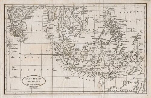
View cart “East Indies from the Best Authorities” has been added to your cart.
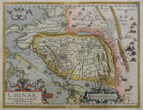
View cart “Chinae, olim Sinarum Regionis, nova descriptio. Auctore Ludovico Georgio. pl. 93” has been added to your cart.
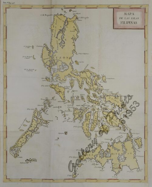
View cart “Mapa de las Islas Filipinas” has been added to your cart.
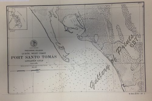
View cart “‘Luzon, West Coast – Port Santo Tomas – Lingayen Gulf” has been added to your cart.
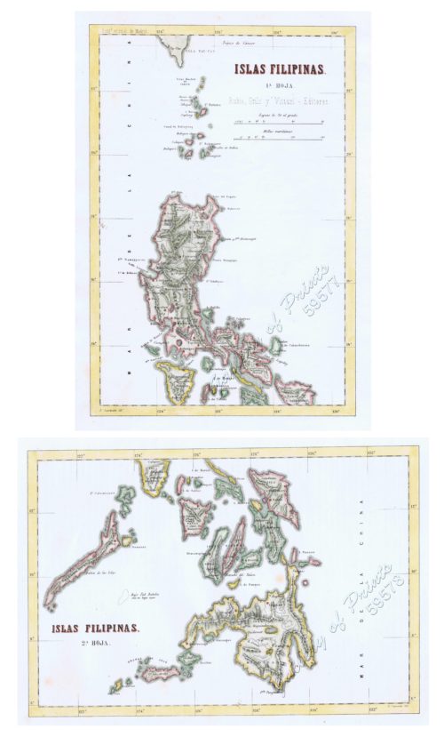
View cart “1) Islas Filipinas 1ª Hoja; 2) Islas Filipinas 2ª Hoja” has been added to your cart.
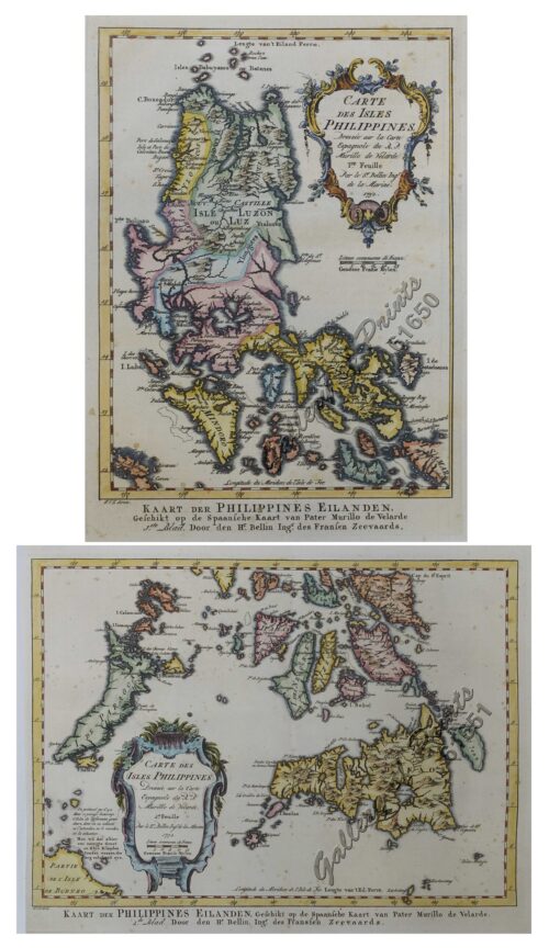
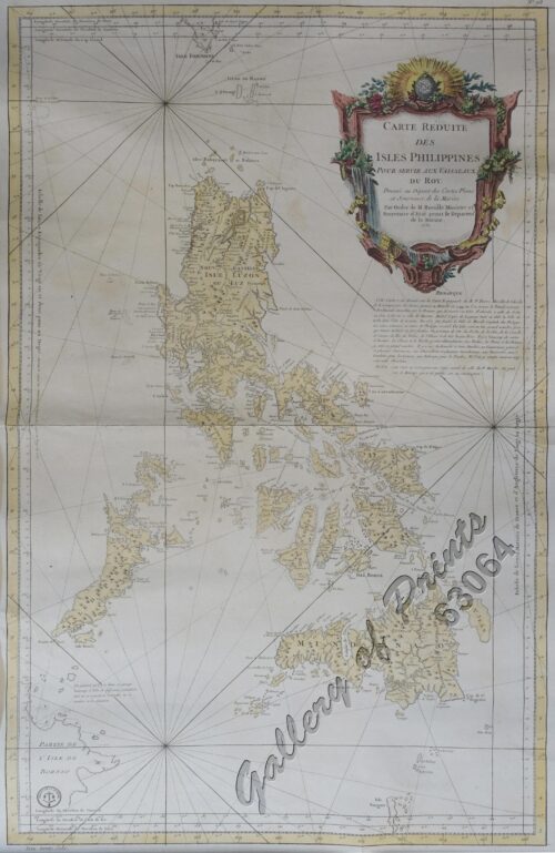
View cart “1) Carte des Isles Philippines (1e feuille) Kaart der Philippines Eilanden, Geschikt op de Spaansche Kaart van Pater Murillo de Velarde 1.ste Blad. Door den Hr. Bellin Ingr. des Fransen Zeevaards. 2) Carte des Isles Philippines (2e feuille) Kaart der Philippines Eilanden, Geschikt op de Spaansche Kaart van Pater Murillo de Velarde 2.de Blad. Door den Hr. Bellin Ingr. des Fransen Zeevaards.” has been added to your cart.
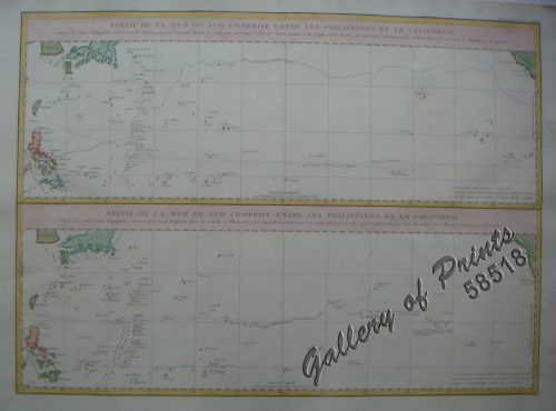
View cart “Partie de la Mer du Sud comprise entre les Philippines et la Californie…..” has been added to your cart.
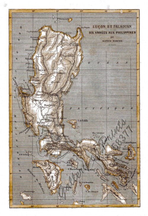
View cart “Lucon et Palaouan [Map of Luzon / Visayas]” has been added to your cart.
View cart “San Fabian and Roads to S. Jacinto and Magaldan. Sketch by Horton W. Stickle 2nd Lieut. Corps Engrs. and Paul Bollot, Sergt, Co. A, Batt. Of Engr’s Nov. 18, 1899.” has been added to your cart.
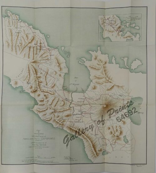
View cart “Map Showing Operations in the Provinces of North and South Camarines Luzon. P.I. under the direction of Maj. Gen. Bates. (Bell’s Exfeditionary Brigade) Feb’y and Mar. 1900. inset: [Albay]” has been added to your cart.
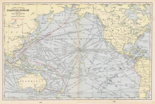
View cart “Map of the Pacific Ocean” has been added to your cart.
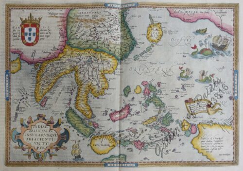
View cart “Indiae Orientalis insularumque adiacientium typus” has been added to your cart.
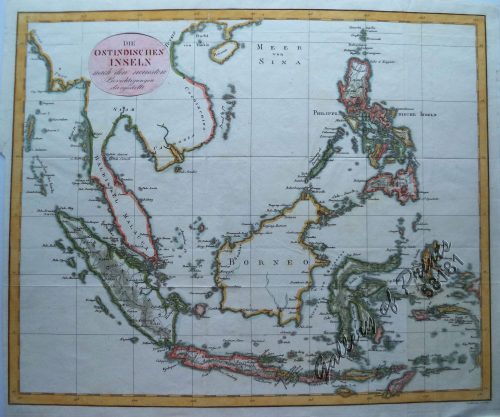
View cart “Die Ostindischen Inseln…” has been added to your cart.
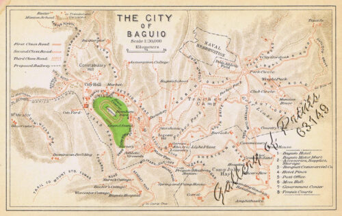
View cart “The City of Baguio” has been added to your cart.
View cart “A Chart of the Pacific Ocean from the Equinoctial to the Latitude of 39 1/2 d. No” has been added to your cart.
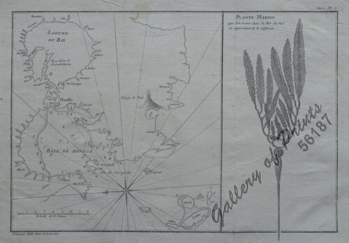
View cart “1) [Lagune de Bay] [Baye de Manille]. 2) Plante Marine…” has been added to your cart.
View cart “Bahia de Bacoor” has been added to your cart.
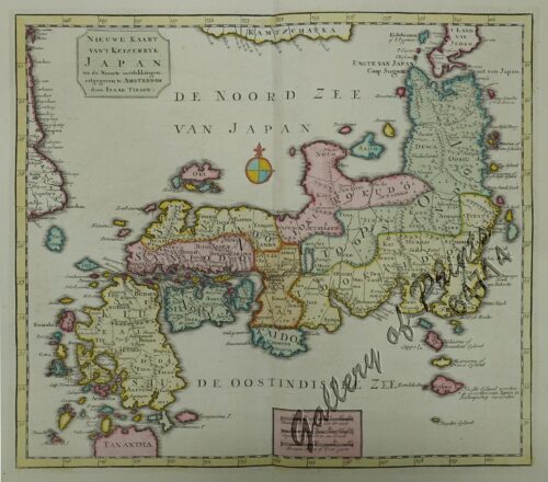
View cart “Nieuwe Kaart van’t Keizerryk Japan na de Nieuste ontdekkingen uitgegeven te Amsterdam door Isaak Tirion. [New Map of the Empire of Japan after the New Discoveries published in Amsterdam by Isaak Tirion.]” has been added to your cart.
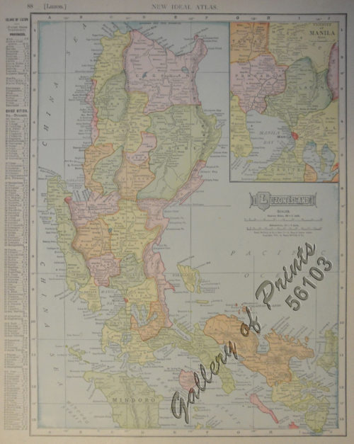
View cart “Luzon Island. inset : Vicinity of Manila” has been added to your cart.
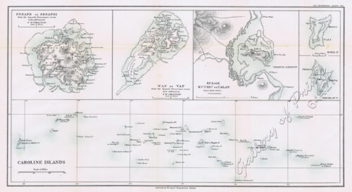
View cart “1) Ponape or Ponapei. 2) Wap or Yap. 3) Kusaie. Kuthiu or Ualan. 4) Mokil Is. 5) Pingelap Is. 6) Caroline Islands.” has been added to your cart.
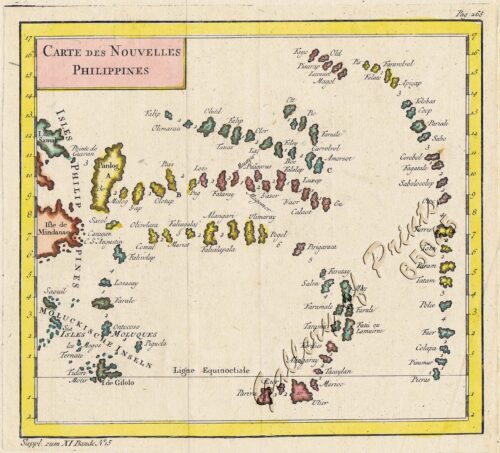
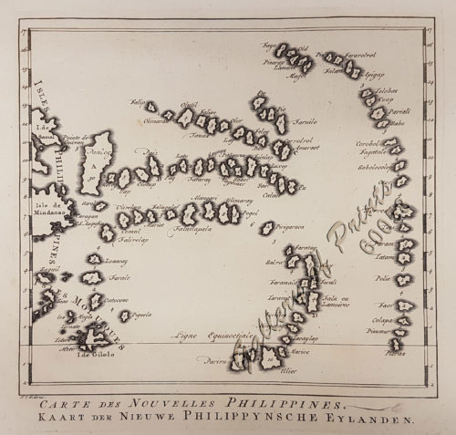
View cart “Carte des Nouvelles Philippines – Kaart der Nieuwe Philippynsche Eylanden. [Map of the New Philippines]” has been added to your cart.
View cart “Map of the World on Mercators Projection” has been added to your cart.
View cart “Topographical Map of the United States” has been added to your cart.
View cart “Filipinas, lám.I Filipinas” has been added to your cart.

