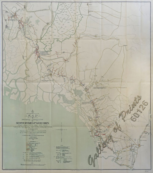
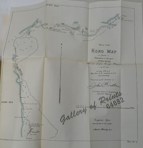
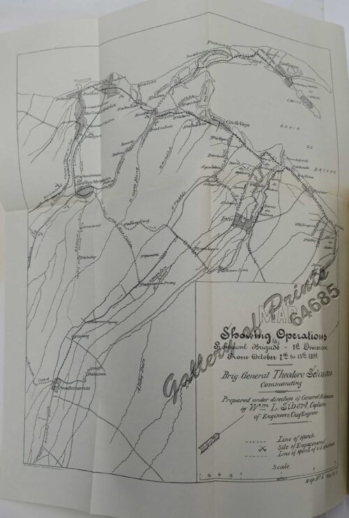
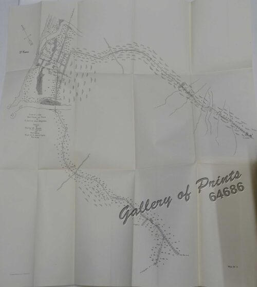
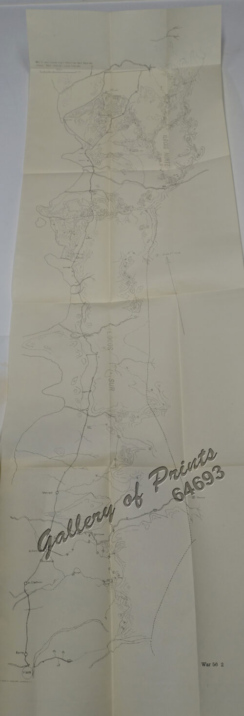
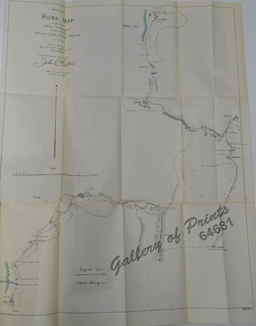
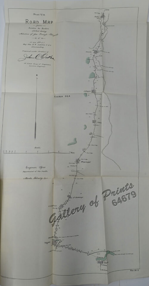
- View cart You cannot add another "Sheet No. 9. Road Map from Badoc to Pasuquin plotted during Advance of Gen. Young's Brigade of 1st Div. 8th A. C. Maj. Gen. H. W. Lawton U. S. V. Commanding. Prepared under direction of John C. Oakes. 1st Lieut Corps of Engineers Division Engineer." to your cart.
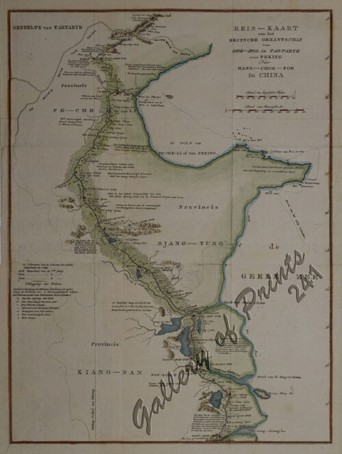
View cart “Reis-Kaart van het Britsche Gezantschap van Zhe-Hol in Tartarye over Peking [Beijing, White River until Yang-Tse-Kiang] Naar Hang – Choe – Foe in China” has been added to your cart.
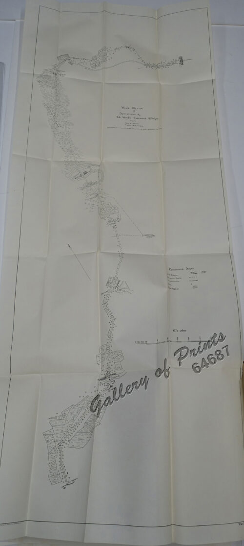
View cart “Road Sketch of Operations of Col. Hood’s Command, 16th Infty. Drawn By Guy G. Palmer 1st Lieut 16th U.S. Infty.” has been added to your cart.
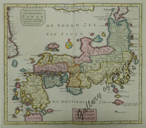
View cart “Nieuwe Kaart van’t Keizerryk Japan na de Nieuste ontdekkingen uitgegeven te Amsterdam door Isaak Tirion. [New Map of the Empire of Japan after the New Discoveries published in Amsterdam by Isaak Tirion.]” has been added to your cart.
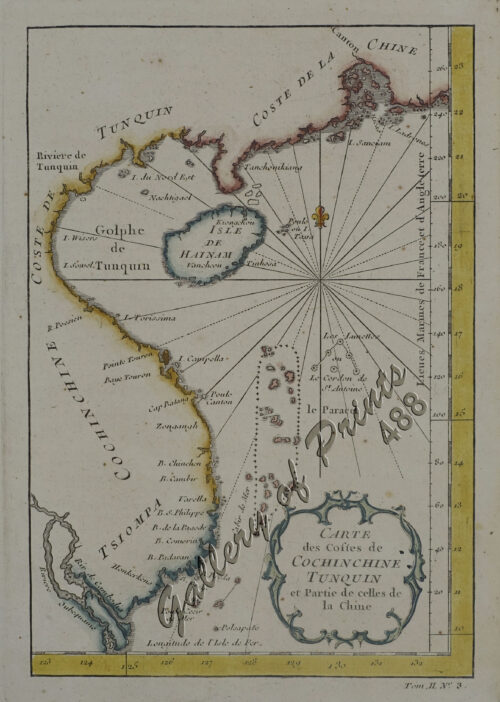
View cart “Carte des Costes de Cochinchine Tunquin … [Gulf of Tonkin]” has been added to your cart.
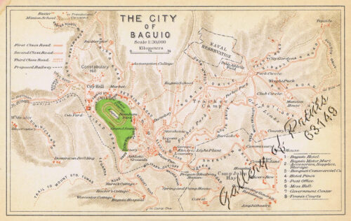
View cart “The City of Baguio” has been added to your cart.
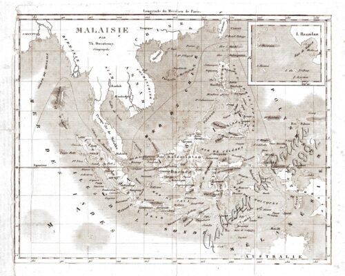
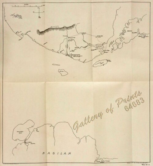
View cart “‘Malaisie. inset: I. Bassilan” has been added to your cart.
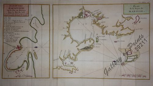
View cart “1) Plan du port d’ Acapulco sur la Côte du Mexique dans la Mer du Sud. 2) Plan de la Baye de Manille” has been added to your cart.
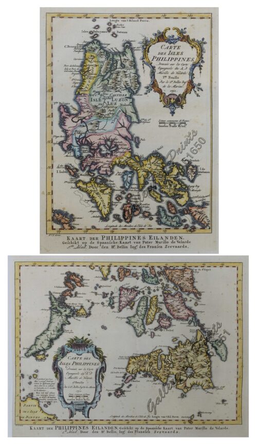
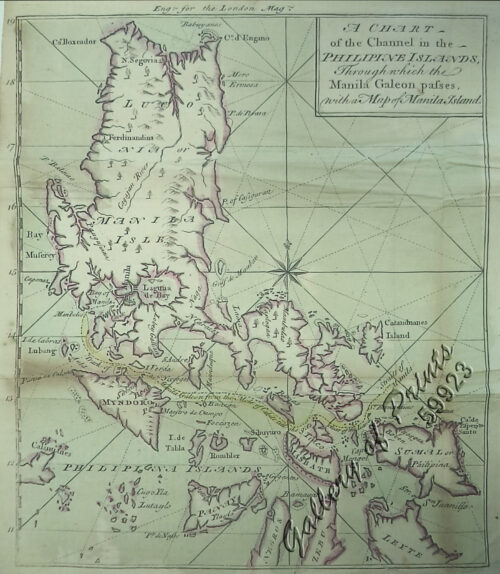
View cart “1) Carte des Isles Philippines (1e feuille) Kaart der Philippines Eilanden, Geschikt op de Spaansche Kaart van Pater Murillo de Velarde 1.ste Blad. Door den Hr. Bellin Ingr. des Fransen Zeevaards. 2) Carte des Isles Philippines (2e feuille) Kaart der Philippines Eilanden, Geschikt op de Spaansche Kaart van Pater Murillo de Velarde 2.de Blad. Door den Hr. Bellin Ingr. des Fransen Zeevaards.” has been added to your cart.

